Download
1 / 27
270 likes | 291 Views
Explore the archaeological findings and historic resources in the Middle Fork of the American River, revealing insights into pre-European Native American activities and post-European contact. Discover mining settlements, ditches, mortar cups, and more, shedding light on the region's rich cultural heritage.

E N D
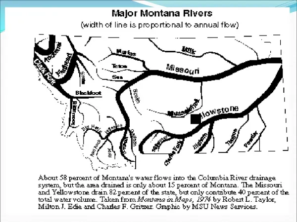
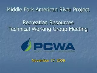
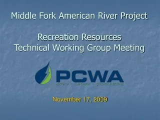
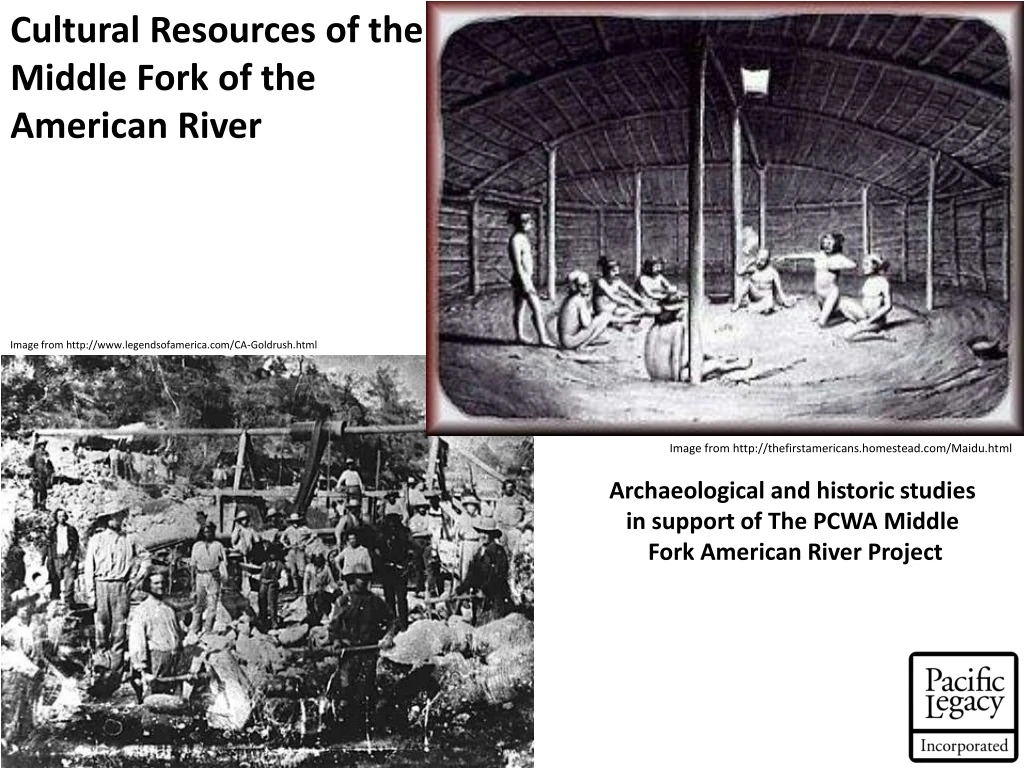
Cultural Resources of the Middle Fork of the American River Image from http://www.legendsofamerica.com/CA-Goldrush.html Image from http://thefirstamericans.homestead.com/Maidu.html Archaeological and historic studies in support of The PCWA Middle Fork American River Project
MIDDLE FORK CULTURAL RESOURCES STUDIES MIDDLE FORK CULTURAL RESOURCES STUDY AREA
MIDDLE FORK CULTURAL RESOURCES STUDIES - Surveys were performed in 2006 and 2007
MIDDLE FORK CULTURAL RESOURCES STUDIES - Surveys were performed in 2006 and 2007 - Further surveys will be performed in 2008
MIDDLE FORK CULTURAL RESOURCES STUDIES - Surveys were performed in 2006 and 2007 - Further surveys will be performed in 2008 • To date, 27 resources have been either re-located or newly discovered.
MIDDLE FORK CULTURAL RESOURCES STUDIES - Surveys were performed in 2006 and 2007 - Further surveys will be performed in 2008 • To date, 27 resources have been either re-located or newly discovered. 13 Historic Resources 13 Prehistoric Resources 1 Site with both prehistoric and historic features
Historic Resources Photo from www.goldrush.com
Historic Sites • Remains of Post-European contact activity. • Includes the remains of buildings, mining facilities, ditches, garbage scatters, and campsites. • In the forest, often visible due to the relatively recent deposition (they tend to be towards the surface of ground cover), the artificial materials present (metals stand out more than stone), and the fact that they often contain structures..
Historic sites PL-03 The remains of a mining settlement, and a possible stamp mill. This site contains building foundations, historic trash, and mine tailing piles. Interior of a Structure Trash Dump Stone Wall
Historic sites The Gates Cabin (FS-05-17-54-214) The remains of the Gates Cabin, this site contained the remains of a structure, a garbage scatter, metal tools, and beer cans. Lots, and lots of beer cans. All that remains of the cabin is a pile of loose timber and corrugated metal sheets. The cone-top beer can allows the site’s occupation to be dated to the early 20th century.
Historic sites The Lambert Ditch (FS-05-17-54-445) The Lambert Ditch, and it’s “sister” the Ralston Ditch (also in the study area), run approximately 20 miles, and carried water to mining operations 20 miles to the southwest of their origin near French Meadows. The Lambert Ditch is just one of many mining ditches found throughout the Sierra Nevada, and only one of several found in the Middle Fork study area.
Prehistoric Resources Photo from www.museumca.org
Prehistoric Sites • Remains of pre-European contact Native American activity. • Includes seed grinding locations, stone tool manufacturing locations, gathering areas, hunting stands, habitation sites, etc. • In the forest, often hidden by forest duff and deposited soil, but can frequently be spotted by materials left on rock outcrops.
Prehistoric sites 54-116 (FS-05-17-54-116) This site consists of a scatter of flaked stone tools and the debitage from making the flaked stone tools, ground stone tools, and bedrock mortars. Bedrock mortars were created in the granite outcrops that dot the area. This projectile Point was made out of the locally available basalt.
Prehistoric sites PL-11 This site consists of a single bedrock mortar cup. No other archaeological materials were seen during survey, but the area will be re-examined in 2008. This mortar cup was shallow, possibly an indication of the type of grinding Performed at this site. The mortar was located in a heavily forested area. No other boulders in the area contained mortar cups
Prehistoric sites 54-400 (FS-05-17-54-400) This site was previously recorded as a bedrock milling station with two mortar cups, a scatter Of flaked stone (from manufacturing tools), And a midden. Revisiting the site in 2007, only One mortar cup was still visible, other features having been hidden or destroyed. This site Illustrates the challenges of working in a Dynamic forest environment. This mortar cup is the only visible, surviving feature of this site. The other mortar cup was lost to erosion. The decaying granite bedrock has resulted in the loss of one mortar cup, and it may also have resulted in a ground cover that obscures other features.
Next Steps Additional Survey
Next Steps Additional Survey Significance Evaluations
Next Steps As the project continues to evolve, the project locations and boundaries likewise evolves. The following locations must be surveyed in 2008.
Areas to be Surveyed in 2008 – Modified Facility Boundaries
Areas to be Surveyed in 2008 – Snow Course Locations Map from PCWA, 2007
Next Steps Evaluations
Next Steps Evaluations Archaeological and historic resources will be evaluated for NRHP eligibility.
Next Steps Evaluations Archaeological and historic resources will be evaluated for NRHP eligibility. Evaluation methods will be specific To each location, but may include archival research, further field observations, and possibly limited Excavation.
Next Steps Evaluations Archaeological and historic resources will be evaluated for NRHP eligibility. Evaluation methods will be specific To each location, but may include archival research, further field observations, and possibly limited excavation. Based on these evaluations, mitigation measures may be recommended.
Questions? Comments? The moon over French Meadows Reservoirs