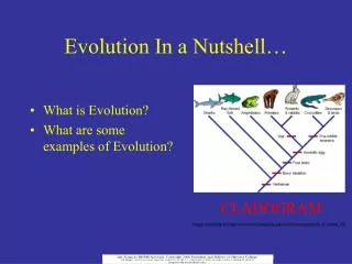
GIS in a nutshell
Learn the basics of Geographic Information Systems (GIS) and explore how GIS integrates hardware, software, and data for managing geographically referenced information, including vectors, rasters, and GPS data. Discover the power of GIS for spatial data analysis and visualization, marketing, and more. Visit useful links for further resources.

GIS in a nutshell
E N D
Presentation Transcript
GIS in a nutshell Faris Alsuhail 2008
What is GIS? “ A geographic information system (GIS) integrates hardware, software, and data for capturing, managing, analyzing, and displaying all forms of geographically referenced information.” –ESRI.com
What is GIS? • vectors • rasters • ArcGIS, MapInfo, Manifold, QGIS... • GPS
What is GIS? • vectors • lines • roads, altitude curves • points • wells, rocks • polygons • fields, areas in general
What is GIS? • rasters • e.g. aerial photos
What is GIS? • data attached to the material • attribute table displays the data • attributes are in most cases editable
Things to do with GIS • A tool for producing and analysing spatial data • Possibilites for visualisation -> Maps, 3D models
Things to do with GIS • Marketing • Spread information about the stations activities, events, on-going research etc.
Useful links • http://www.lounaispaikka.fi • http://www.paikkatietolainaamo.fi • http://kartor.sydvast.fi • http://www.maanmittauslaitos.fi/ • http://www.karttapaikka.fi • http://www.progis.fi • http://www.mapinfo.com • http://goto.mapinfo.com/webtutorials