Download
1 / 30
300 likes | 344 Views
The geodetic monitoring of the Corinth rift observatory with GPS and SAR interferometry. P. Briole, CNRS/ENS, 20 September 2019. Forthcoming courses. Tomorrow afternoon. Sunday afternoon. Monday afternoon. The jungle of the acronyms. Just in the previous slide. GPS GNSS ESA InSAR GEP

E N D
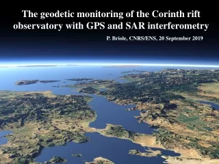
The geodetic monitoring of the Corinth rift observatory with GPS and SAR interferometry P. Briole, CNRS/ENS, 20 September 2019
Forthcoming courses Tomorrow afternoon Sunday afternoon Monday afternoon
The jungle of the acronyms Just in the previous slide • GPS • GNSS • ESA • InSAR • GEP • GIPSY OMG! So, BC and do not let yourself be impressed too much by those acronyms
We are going to talk about satellites, electromagnetic waves, propagation of electromagnetic waves, orbits of the satellites, antennas Sentinel1 satellite Galileo satellite
Where are the satellites and why ? Galileo Sentinel1
The electromagnetic spectrum UV Radar L-band Radar C-band Visible Radar X-band Infra-red
The whole set of equipment of the GNSS geodesist at CRL(for measuring campaign points)
Continuous GNSS measurements Permanent GNSS receiver at the University of Patras
Imagery from Sentinel1 – unlike GNSS here there are no benchmarks
Correlation of images Principle: match the amplitude of the signal and calculate the difference of the phases InSAR requires two epochs of observations – it is a differential technique
Correlation of SAR images - = Orbit 1 Orbit 2 Difference of signal travel time
Aigion, Ms=6.2, 15 June 1995 Co-seismic deformations mesured by GPS and SAR interferometry & Model Bernard et al., 1997