Download
1 / 24
240 likes | 397 Views
Communicating Fire Hazard Severity Zones and Wildland-Urban Interface Building Standards. CAL FIRE Communications Office This presentation is for INTERNAL USE ONLY. Unit PIO Roles:. Attend public hearings to handle local media and public Report any public communication issues to Sacramento

E N D
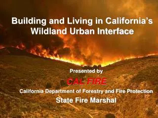
CommunicatingFire Hazard Severity ZonesandWildland-Urban Interface Building Standards CAL FIRE Communications Office This presentation is for INTERNAL USE ONLY
Unit PIO Roles: • Attend public hearings to handle local media and public • Report any public communication issues to Sacramento • Local media outreach and query response with project message points • Refer all major media and national media as well as aggressive/contentious media to Sacramento • Participate in public events - develop a list of opportunities
Message: California will have wildfires. We need new tools if we are going to place our homes and businesses in the fire prone areas of the state. Living in the wildland has to mean building property that can survive a wildfire. The losses in lives, property and fire suppression costs are too great to continue doing things the way we have been doing them.
Predict and Protect Strategy: • Predict where wildland fires will happen using mapping technology • Protect structures using defensible space and ember-resistant building standards
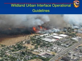
There are more than five million homes in California’s wildland-urban interface. California law requires CAL FIRE to identify areas of fire hazard statewide. Fire Hazard Severity Zones influence how people construct buildings and protect property.
Audience:property ownersdevelopers and builders building officials fire officialsland use officialslocal governmentinsurance industryreal estate industryagriculture industryenvironmental interests
The public may believe that the new Fire Hazard Severity Zones could affect:
Message: The new maps are significantly different from the previous versions due to improved fire science, mapping techniques, and data.
Message: The most significant change to the maps is that the ability for embers to travel long distances and ignite structures up to a mile from the fire area has been incorporated.
Message: The model used to develop the fire hazard severity zone maps considers the probability of the area burning and potential fire behavior in the area based on elements such as: • fire history • blowing embers • terrain • weather • potential fuel over a 30- 50-year period, and • likelihood of structures igniting.
Message: The primary reason for updating these maps now is so that accurate information is used to implement the new wildland-urban interface building standards.
The maps also may be used for: • Natural hazard real estate disclosure • Defensible space clearance requirements • Property development standards such as road widths, water supply and signage • Consideration in city and county general plans
Challenge: People believe that firefighters are always going to protect their homes from wildfires. Fact: When you build in the wildland-urban interface, you assume a level of wildfire risk.
Message: We are using a dual approach to reduce the risk of wildland fire transmitting itself into improved areas: • Changes to the surrounding area (defensible space) to keep direct flames and heat away from the sides of buildings • Changes to buildings themselves to prevent burning embers from getting inside
The code revisions are based on lessons learned during the California Fire Siege of 2003 in which wildfires killed 24 people, burned 750,000 acres and destroyed more than 3,700 homes. Challenge: Many people statewide will see the more stringent building codes as less about fire and more about money, their money.
Challenge: Fear that insurance rates will rise based on zone designation. Message: Insurance companies are advanced in evaluating fire potential. They have complex maps that are more effective for insurance because they evaluate risk, which the FHSZ maps do not.
The fire hazard severity zone maps evaluate hazard, not risk. Hazard is based on the physical conditions that give us a likelihood that an area will burn within 50 years without considering modifications such as fuel reduction efforts. Risk is the potential damage a fire can do under existing conditions, including any mitigations. You can reduce your risk, but you can’t change the hazard level of the area.
Message: The new building codes set more stringent standards for ignition-resistant siding, decking, windows, gutters, and eave and wall vents to prevent burning embers from entering the structure and igniting fires.
Fact: Costs for construction may increase by an average of $1,800 per home in wildland-urban interface areas.
Message: Firefighting resources are better used in offense to suppress the fire than in defense to protect each home. The alternative is to build homes that can survive without having a fire engine in every driveway.
People from a variety of perspectives were involved in the building standards development and adoption process: • Building Officials • Building Industry • Firefighters • Local Government • Environmental Organizations • Insurance Industry
“Living and Building in California’s Fire Prone Areas” www.fire.ca.gov/wildland.php • maps by county • the map development process • building codes • public hearings • frequently asked questions • terminology
UC Berkeley Center for Fire Research and Outreach interactive fire hazard map allows users to find the fire hazard severity zone designation of any property in the state responsibility area
Questions regarding communicating Fire Hazard Severity Zone Maps and Building Standards Revision to the public? Contact June Iljana at CAL FIRE Communicationsjune.iljana@fire.ca.gov(916) 657-4407