Download

1 / 19
190 likes | 346 Views
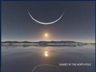
At which North Pole does Santa Claus live?. North Reference. True North The earth’s axis of rotation. Magnetic North Where your compass points. Grid North Where the UTM grid lines “point” to. Grid Nerd.

E N D
At which North Pole does Santa Claus live? North Reference
The North Referenceyou choosedetermines where 0° iswhen you measure an anglewith your protractor or compass.
What is the difference here? • Fruitvale Ave. is aligned with True North. • So are the edges of parking lots 4 & 5. • Let’s go take a bearing along the edge of lot 4 and see what we get…
Declination changes over time • Here in Northern California it changes by about 1° every 20 years. • The declination shown on your topo map may be out of date. • What about declination displayed by my GPS? • It probably correct as of the date of manufacture.
2010 Magnetic Poles North Pole South Pole 2000 2000 1600 1900 1700 1700 1800 1600 1900 1800
Local Anomalies • May be as much as 90 degrees • 3-4 degrees is common • North of Kingston, Ontario; 90° of anomalous declination. • Kingston Harbor, Ontario; 16.3° W to 15.5° E of anomalous declination over two kilometers (1.2 miles); magnetite and ilmenite deposits. • Savoff, Ontario (50.0 N, 85.0 W). Over 60° of anomalous declination. • Ramapo Mountains, northeastern New Jersey; iron ore; compass rendered useless in some areas. • Near Grants, New Mexico north of the Gila Wilderness area; Malpais lava flows; compass rendered useless.
Using your GPS & compassto measure current local magnetic declination d > 300m GPS GOTO WPT001 Bearing 214° True Compass Bearing to Palm 200° Magnetic WPT001 Current Local Magnetic Declination is 14° East of True North
Using your map & compassto measure current local magnetic declination Compass Trail Jct -> Peak 52° Mag. From the map Trail Jct -> Peak 68° True Current local magnetic declination is (68 - 52) 16° E. of True North
Check you compass & sighting techniqueusing these methods and the declination for the area • Find some place near your home to establish your personal compass testing location. • Identify several features, at least 1km away, that you can sight on. • Use a map to determine True bearings to these features. Convert these bearings to Magnetic using the calculated declination for the area. • Check your compass and technique. Experiment with the your gear to see if it influences your compass. • Keep notes, so you can repeat this in the future.