Download
1 / 12
120 likes | 135 Views
This article discusses the importance of preserving geospatial data, the risks associated with not preserving it, and the benefits of doing so. It also highlights national efforts such as GeoMAPP and NDSA, and provides recommendations for establishing a unified approach to preservation in Wisconsin.

E N D
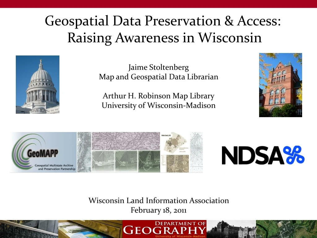
Geospatial Data Preservation & Access: Raising Awareness in Wisconsin Jaime Stoltenberg Map and Geospatial Data Librarian Arthur H. Robinson Map Library University of Wisconsin-Madison Wisconsin Land Information Association February 18, 2011
Geospatial Data Preservation • What does this mean? • Why is this important? • Who should care? • What is the benefit? • Persevering ‘at risk’ & temporally significant digital geospatial content – not • just backing up your current version • Existing copies are at risk of being over- • written when updates or changes are made • Data creators, consumers and curators • Direct user, social, government/operational, strategic/political, historic research, legal • Common driver: access to historic content for temporal analysis
National Efforts: GeoMAPP • GeoMAPP = Geospatial Multistate Archiving & Preservation Partnership • Funded by the Library of Congress NDIIPP (National Digital Information Infrastructure & Preservation Program) • Funded partners: North Carolina, Utah, Kentucky • Informational partners: Washington D.C. | Georgia | Maine | Maryland | Minnesota Montana | New York | Texas | Wisconsin | Wyoming
National Efforts: GeoMAPP • What the GeoMAPP team recommends…and what we are working on in Wisconsin • Collaboration is a key component to establishing a unified approach to preservation • Create business case documentation • Investigate the existing preservation landscape • 4. Make it official – create GIS specific records retention schedules • Descriptive detail is a wise preservation investment • 6. Spread the word about what you’re doing
National Efforts: GeoMAPP Retention Schedules: suggested frequency
National Efforts: NDSA • National Digital Stewardship Alliance (LOC and others) • Working Groups: • Content • Standards & Practices • Infrastructure • Innovation • Outreach
National Efforts: NDSA • Outreach Working Group • Chairs: Carol Minton Morris (DuraSpace.org) • Butch Lazorchak (LOC) • 52 other members • Scope of work: • Identifying and promoting key digital preservation information resources: • Clearinghouse of Digital Preservation Information • Utilizing social media tools to spread the message • Defining opportunities for outreach within the NDSA & to the community beyond
National Efforts: NDSA Defining opportunities: • Public Awareness Campaign • Partner Recruitment • Identifying Important Collections for Stewardship • Outreach to Potential Information Stewards Action teams: • Statement of Purpose • Audience • Outreach Resources
Future Plans in Wisconsin • Continue to participate in national calls with both GeoMAPP and NDSA for the next several years • Begin collecting information to help us understand Wisconsin’s current preservation landscape. • Seek partnerships with the WI Historical Society, the State Records Center and/or individuals in WI counties that have a legal mandate to preserve digital land records information. • Share recommendations and hopefully provide tools and guidance for successful implementation of preservation plans across the state.
What you can do right now… • “Save the bytes!” Identify data that is temporally significant • Create good FGDC metadata- include currency date, software version, and description of file naming convention • Use a simple data management structure(ex: Dane Co. historic parcel data) • Treat the archive as a living thing
Questions? Contact Information: Jaime Stoltenberg Map & Geospatial Data Librarian UW Department of Geography Arthur H. Robinson Map Library jstoltenberg@wisc.edu 608 262-1471