Download
1 / 27
280 likes | 542 Views
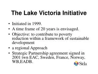
Climate Vulnerability Assessments of Water Utilities in the Lake Victoria Basin. Norman L. Miller Climate Science Department, Lawrence Berkeley National Laboratory Geography Department, University of California - Berkeley IGCP 565 Meeting Johannesburg, South Africa 22 November 2011.

E N D
Climate Vulnerability Assessments of Water Utilities in the Lake Victoria Basin Norman L. Miller Climate Science Department, Lawrence Berkeley National Laboratory Geography Department, University of California - Berkeley IGCP 565 Meeting Johannesburg, South Africa 22 November 2011
Climate Vulnerability Assessment Vulnerability = Risk - Adaptation Risk = Hazard (Climate Change&Extreme Weather) X Likelihood Decreasing water utility vulnerability due to climate change requires: Quantifying the risk of projected climate change impacts Planning adaptation strategies that increase resilience
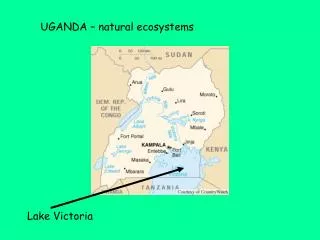
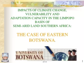
Climate Change and Lake Victoria Water Developing African nations are identified as most vulnerable to climate change. Water is and will continue to be a limiting factor for development. Lake Victoria water levels were recently at the lowest level in 80 years. This is partly due to natural variability, but is also due to climate change and water diversions. The Owen Falls Extension, Kiira Dam, built in 2000 resulted in disparities from the Agreed Water Curve release rates (Lake Victoria Basin Comm. 2006). Severe lake level falls during 2004-2005 were calculted to be 45% due to drought and 55% due to over-releases from the dams.
Lake Victoria Precipitation (bars) and Water Level (diamonds) Long Rains Short Rains
Climate Change and Lake Victoria Water Equatorial Glaciers will completely melt away by ~2020, including Mt. Kilimanjaro, decreasing runoff and water availability. Sea Surface Temperature (SST) has increased globally, including the teleconnected equatorial Pacific Ocean and Indian Ocean, directly impacting precipitation and drought over the Lake Victoria domain. The hydrologic cycle is observed to be intensifying, with jet streams moving northward, likely bringing more flood events to LV. Evidence suggests the Indian Monsoon circulation may weaken in response to tropospheric warming, changing moisture flux into East Africa.
IPCC AR4 Climate Change (2099-2080) – (1999-1980), SRES A1B Lake Victoria Basin will have more extreme precipitation, increased evaporation,
Project Components Scoping Study Climate Variability and Change Analysis (LBNL; started) Climate Change Impacts Analysis (LBNL) Stakeholder Consultations and site visits (Re-Solve, Climate XL; completed) Analysis Water resource management, operations, and planning in response to climate change vulnerability (LBNL, SEI) Infrastructure investment analysis of small and large water utilities (LBNL) Review Results Criteria for prioritizing options (Re-Solve, Clime XL) Workshop recommendation measures for each utility (Re-Solve, Clime XL) Implementation of adaptation measures for each utility and provide climate change guidebooks or toolkits (Re-Solve, Clime XL) Follow-Up Monitoring and Project Evaluation (Re-Solve, Clime XL) Project Auditing and Progress (ASE, Clime XL)
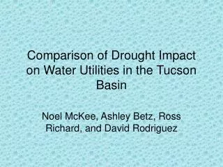
Analysis Large-scale climate data analysis and regional climate and land-use system modeling (WRF-CLM) and analysis to quantify climate change for West Africa, East Africa, and Lake Victoria Calculate variability in runoff yield, precipitation, and groundwater for Lake Victoria sub-basins impacting the towns Masaka, Uganda, Bukoba, Tanzania, and Kisii, Kenya. Application of the Water Evaluation and Planning (WEAP) model to the three pilot water utilities in Masaka, Bukoba, and Kisii. Quantify current and projected water demand, agriculture and irrigation use, and supply limits. Update and advance climate analysis, and develop an economic and long-term water supply and demand analysis of investments in smaller and larger scale water utilities in African cities
Large-Scale and Regional Climate Modeling and Analysis 1. Sea Surface Temperature (SST) variations cause shifts in jet streams, moisture advection, and resulting precipitation (started). 1.1 Determine the SST-precipitation lag correlation 1.2 Compute Empirical Orthogonal Function (EOF) analysis of the correlated SST-Precipitation patterns to explain variance 2. Regional climate modeling will quantify the bounds of uncertainty under current and projected climate and land use change. 2.1 Simulations of current and projected climate. 2.2 Simulations of current and alternate land-use option 3. Climate model variables: 3.1 Temperature (mean-daily minimum, maximum) 3.2 Precipitation (frequency, intensity, duration, extent) 3.3 Vapor pressure and wind speed 3.4 Humidity and Fractional Cloudiness 3.5 Other Variables
Lake Victoria Study Sites: Bukoba, Kisumu, Mwanza, and Musoma
Probability distributions functions of the statistically downscaled IPCC GCM simulations of Tmax for Bukoba, Kisumu, Mwanza, and Musoma.
Probability distributions functions of the statistically downscaled IPCC GCM simulations of Tmin for Kisumu, Mwanza, and Musoma.
Capacity Building • Develop criteria for prioritizing options for utilities and hold workshops with each utility • Implementation of adaptation measures • Guidebooks and/or toolkits for water utilities on climate change • Follow-Up Monitoring and Project Evaluation • Project Auditing and Progress