Download
1 / 48
480 likes | 574 Views
Explore the intriguing structure of the Earth's crust, mantle, and core, and delve into the fascinating world of plate tectonics. Understand the movement of tectonic plates at divergent, convergent, and transform boundaries through seismic activities and volcanic events.

E N D
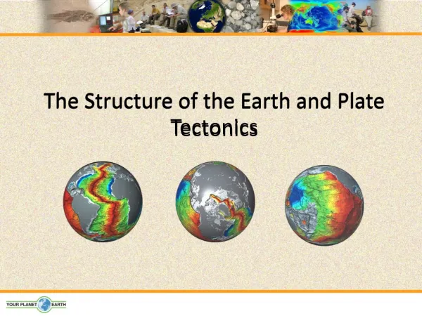
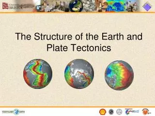
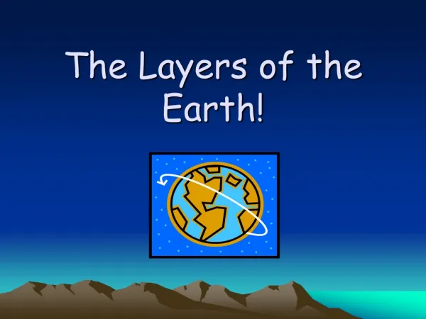
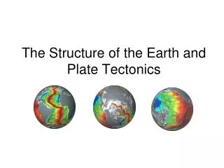
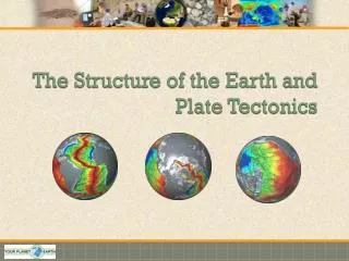
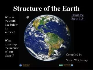
Structure of the EarthTectonics Chapter 22 ISCI 2001
Crust • (1). Thin, brittle • Oceanic • Basalt rock (dark); greater density • Continental • Granitic rock (lighter); less dense • Less dense than mantle • Floats
Mantle • (1). Most of the volume (82%) and mass (65%) • Thickest layer • (2). Rich in Si and O • Contains Fe, Mg, Ca (causes increased density) • Density increased by weight of crust also • (3). Hotter than crust • High pressure • Caused by radio active decay of elements • Flow of heat from core • (4). Regions – Upper Mantle • Lithosphere • Stiff, cool – similar to crust (forms one layer together) • Asthenosphere • Solid, plastic (solid flow) • (5). Upper Mantle • Solid and rigid • Plastic but not as much as upper mantle
Core • Consist of: • Metallic Fe • 2x dense as mantle • (2). InnerCore • Solid • 4000 to 7000 C • Radioactive elements • Earth development; matter hitting the surface • Core sinking to the center • (3). OuterCore • Flows due to less pressure • Rotation of Earth stirs up core material • Produces magnetic field (flowing electrical charge)
Plate Tectonics • (1). Continents sit atop of tectonic ‘plates’ • What are the plates made of? • What is a continent? • (2). Plates • Consist of mantle and the crust (lithosphere) • Plates move atop the asthenosphere (plastic) • Continents move because they are embedded into the plates • (3). Plateboundaries and continents • Continents and plates do not have the same boundaries (overlapping) Figure 22.18 • A lot of action occurs at the plate boundaries!
How were the Plates Discovered? • (1). AlfredWegener • Proposed the theory of “Continental Drift” • Continents are in motion; drifting over geologic time • Pangea (figure 22.8) • Same fossils found in several different continents • Matching rocks on both sides of Atlantic Ocean • (2). Evidence for CD • Seafloor Spreading • Magnetic Stripes
Evidence for Continental Drift –Seafloor Spreading • (1). Magma flows out of breaks in lithosphere • New lithosphere is formed and old lithosphere will be recycled back in trenches (22.16) • Mid-ocean ridge • Pushes the continents in specific directions
Evidence – Magnetic Stripes • (1). Lava contains Fe and magnetite (Fe and O) • Crystals are magnetic – line up with the magnetic field of the Earth • Crystals point North and south / cool and freeze and become locked in • Contains a record of the history of the magnetic field of the Earth • Gives a striped, bar pattern (22.17) • Alternates normal (today’s field) and reversed field from years ago. • Runs along the spreading seafloor
How do the Plates Move? • (1). As magma is heated deep in the Earth it moves upward via convection currents (22.21) • Hot rocks from lower mantle move upward cool in the upper mantle and return • Hit the lithosphere and can crack it – seafloor spreading • Plates move atop ‘convection cells’
Plate Tectonics ISCI 2001 Chapters 22-24
Plate Activities – Divergent Plate Boundaries • (1). Plates may ‘diverge’ • Plates move apart • Lava fills spaces in between • (2). What types of structures are produced? • Volcanic mountains • Rift valleys • (3). Examples • Mid-Atlantic Ridge • Great Rift Valley (Africa near Nairobi Kenya)
Convergent Boundaries • (1). When two plates collide • One plate usually subducts • Most dense or oldest plates
Oceanic – Oceanic • Trench formation (Marianas Trench) • 11,000 m or 7.0 miles deep • Pacific and Phillipine Plates collide • Formation of volcanic islands or arcs • Subduction plate mantle rock melts comes to the surface and cools
Oceanic – Continental • Oceanic – Continental • Oceanic basaltic plate (more dense) subducts under granitic continental plate • Mantle rock melts, magma rises and cools forms island chains • Volcanic Arcs (Peru)
Oceanic – Continental The convergence of the Nazca and SouthAmericanPlates has deformed and pushed up limestone strata to form the towering peaks of the Andes, as seen here in the Pachapaqui mining area in Peru.
Continental – Continental • Continental – Continental • Massive plate collisions (both granitic) • No subduction, why? • Both have same density • Massive mountains are formed • Himalayas
Transform Plate Boundaries • (1). ‘Sliding Plate’ Boundaries • Slipping of plates causes ‘faults’ • (2). Slipping causes plate movements • Boundaries move in opposite directions against each other • (3). Where are they normally found? • Mostly ocean basins • Continental plate: San Andreas Fault
Faults • Parts of a Fault • Normal Faults • Dip-slip • Reverse Faults • Strike-Slip
Types of Faults • (1). Dip-Slip (See figure 24.5) • Hanging wall and vertical wall move vertically along the fault plane • Movement is vertical • (2). Strike-Slip • Movement is horizontal • San Andreas Fault motion • (3). Oblique • Move horizontally and vertically
Slip-Dip Conjugate Normal faults, Canyonlands National Park, Utah
Folding • (1). Bending in Rock layers • Caused by compression • (2). Results • Anticlines or synclines
Mountain Formation • (1). Folded Mountains • During formation continental crust thickens and wrinkles into vertical folds from compression • Appalachians, Rockies and Himalayas • (2). Unwarped • Domed shaped • Single anticline (crust is heaved upwards; no folds produced) • Adirondack mountains NY • (3). Fault-Block • Land is ‘uplifted’ , stretched and elongated • Very steep profile • Tetons (Wyoming); Sierra Nevada (California)
Mountain Formation Folded Mountain – Antarctica
Mountain Formation Adirondack Mountains – unwarped
Consequences of Plate Movements • (1). Earthquakes • Transform faults • Compression and tension caused by stress of plate movements -- Slipping • Focus location • Rock is snapped or broken releasing ‘elastic’ energy • (2). Types • Intraplate (10%) • Away from plate boundaries • New Madrid, Missouri • Interplate (90%) • Plate boundaries • Transform plates (mild Eqs) • Subduction zones (strong)
Subduction Zones – Ring of Fire! 80% of all interplate EQs occur here
Powerful Interplate EQs and Tsunamis • (1). Coast of Sumatra • Indian and Burma Plate collision • Megathrust quake • 100 billion tons of TNT • (2). Production of a Tsunami • Quake took place in the Indian ocean • As subduction occurred • The seafloor bent as the other plate sank • Stress caused rock to snap and thrust upwards • Force caused water to creat large wave • 30m +/- above sea level
Magnitude of Earthquakes –Richter Scale • (1). Logarithmic scale • Each point represents a 10-fold increase in quake shaking strength • Measures shaking • Also indicates 30 fold increase in energy output • 1 thru 10 • Examples • 1906 San Francisco (8.2) • Sumatran 2004 (9.0)
Sumatra EQ and Tsunami 184,000 People died