
Spatial Methodology
E N D
Presentation Transcript
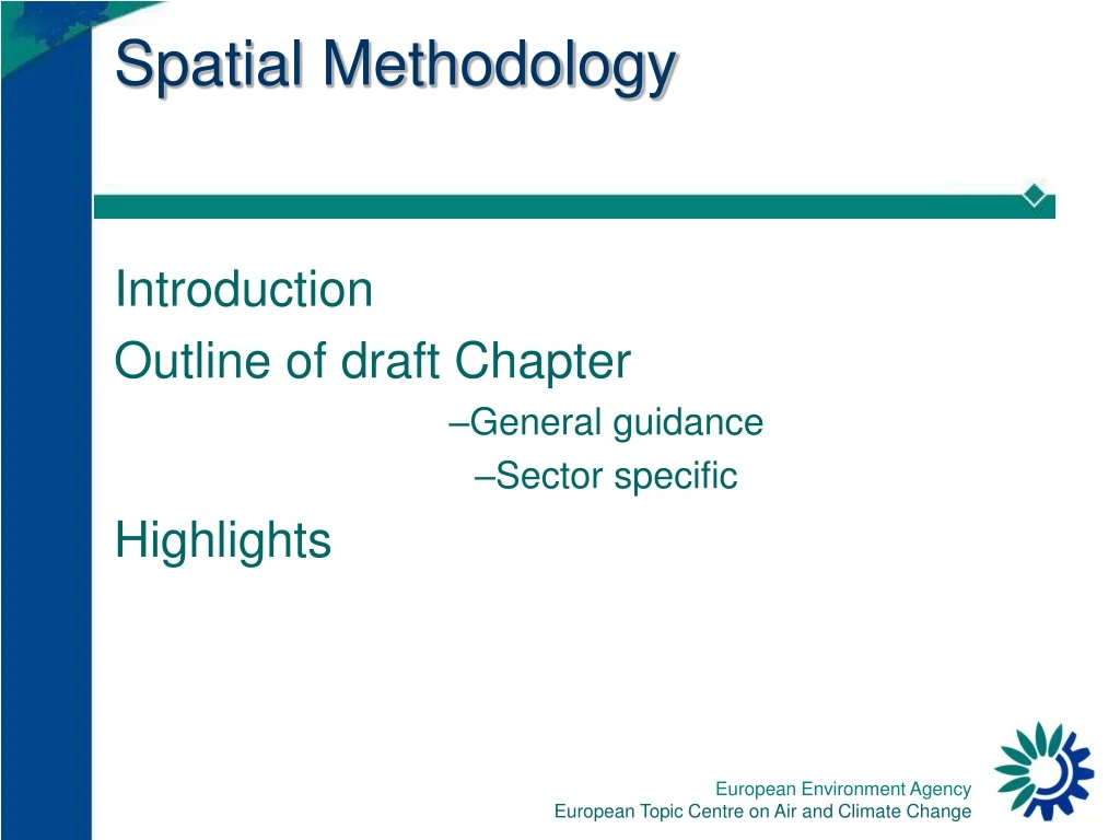
Spatial Methodology Introduction Outline of draft Chapter General guidance Sector specific Highlights
Chapter Introduction • What does this chapter do: • Why mapped emissions data is needed: • Reporting Spatial Emissions:
Finding key spatial data sources • National Datasets: • Population and employment. • Gas distribution networks: • Agricultural data. • Road Network Information. • Airport activity data. • Local Inventory data: • Large Point Source Information. • International Datasets • Corine: • ICAO: • Eurostat:
General Guidance: • Gathering and dealing with point source data • Distributing national emissions • Understanding and combining Spatial Features: • Point Sources • Area Sources (Polygons) • Area Sources (Grids) • Line Sources • Combining different spatial features • Understanding and Converting different Spatial Projections.
Basic Principals • Gather Point Sources • Grid the rest • Where : • Emissionix : is the emissions attributed to a specific geographical feature (e.g. a gridcell or administrative boundary)within the spatial surrogate dataset x. • Emissiont : is the total national emission for a sector to be distributed across the national area using the (x) surrogate spatial dataset. • Valueix - jx : are the surrogate data value of each of the specific geographical features within the spatial surrogate dataset x.
Good Practice • Setting priorities and work with Available Resources and data • Verification procedures
Sectoral Guidance • Energy production and Stationary Combustion in Manufacturing Industries and Construction • Commercial Combustion • Residential • Agricultural & Forestry Combustion • Industrial Processes and Fugitive Emissions • Fugitive Emissions • Solvent Use • Road transport • Railways • Water transport • Air transport • Waste treatment and disposal
Landcover Class Weighting Industry 1 Continuous urban fabric 0.2 Discontinuous urban fabric 0.01 Ports 0.05 Airports 0.05 Working with limited data • Landcover • Road Networks • No vehicle km data • Population and Road Maps