Download
1 / 22
220 likes | 333 Views
This guide explains how to effectively integrate GPS data with Google Earth and other software to enhance geolocation capabilities and manage digital photography metadata. Learn to download and convert GPS data using formats like GPX, and how to geotag your photographs with precise location information. Explore tools such as GPSBabel and the NMEA standard for seamless communication between devices. This resource also covers options for integrating GPS data into photographs using Exif tags and utilizing platforms like Google Earth for visualizations.

E N D
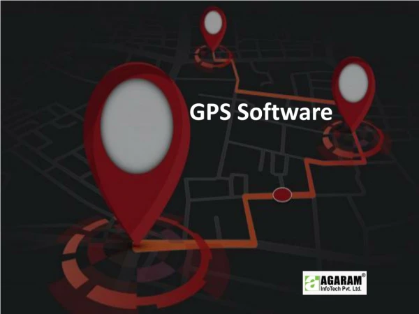
1.GPS Software, data download and conversion, 2.Google Earth, Integration of GPS and digital camera, 3. Global Geo-referenced Field Photo Library http://www.eomf.ou.edu/photo-browser/
Garmin 76 • Mapsource: connect gps, download waypoints, tracks. • Active track and saved track • Save as gpx.
GPS eXchange Format • GPX, or GPS eXchange Format is an XML schema designed for describing GPS data between software applications. • It can be used to describe waypoints, tracks, and routes. The format is open and can be used without the need to pay licence fees. Its tags store location, elevation, and time and can in this way be used to interchange data between GPS devices and software packages. Such computer programs allow you for example to view your track, project your track on satellite images (in Google Earth), annotate maps, and tag photographs with the geolocation in the Exif metadata.
GPS eXchange Format • In GPX, a collection of points, with no sequential relationship (the county towns of England, say, or all Skyscrapers in New York), is deemed a collection of individual waypoints. An ordered collection of points may be expressed as a track or a route. Conceptually, tracks are a record of where a person has been, routes are suggestions about where they might go in the future. So, for instance, there might be timestamps for each point in a track (because someone is recording where and when they were there), but timestamps for each point in a route are unlikely to be provided, because the author is suggesting it, and nobody might ever have travelled it. • The minimum properties for a GPX file are latitude and longitude for a single waypoint. All other variables are optional.
Datalogger • Connect datalogger to your computer • Copy the .log file to your computer • Open the .log file • This file is in NMEA format
NMEA 0183 • NMEA 0183 (or NMEA for short) is a combined electrical and data specification for communication between marine electronic devices such as echo sounder, sonars, anemometer (wind speed and direction), gyrocompass, autopilot, GPS receivers and many other types of instruments. It has been defined by, and is controlled by, the U.S.-based National Marine Electronics Association. • The NMEA 0183 standard uses a simple ASCII, serial communications protocol that defines how data is transmitted in a "sentence" from one "talker" to multiple "listeners" at a time. Through the use of intermediate expanders, a talker can have a unidirectional conversation with a nearly unlimited number of listeners, and using multiplexers, multiple sensors can talk to a single computer port. Third-party switches are available that can establish a primary and secondary talker, with automatic failover if the primary fails. • At the application layer, the standard also defines the contents of each sentence (message) type so that all listeners can parse messages accurately.
NMEA 0183 • Each message starting character is a dollar sign. • The next five characters identify the type of message (talker). • All data fields that follow are comma-delimited. • The first character that immediately follows the last data field character is an asterisk.
GPSBabel • Copy and open GPSBabel • Convert NEMA to gpx
Open gpx in Google Earth • Google Earth 5.0
Geotag photo with gps record • Exif information • GPicSync
EXIF • Exchangeable image file format (Exif) is a specification for the imagefile format used by digital cameras. The specification uses the existing JPEG, TIFF Rev. 6.0, and RIFFWAV file formats, with the addition of specific metadata tags. It is not supported in JPEG 2000, PNG, or GIF.
Geolocation in Exif • The Exif format has standard tags for location information. Currently, only very few cameras, such as the Ricoh 500SE, Nikon Coolpix P6000 or some higher-end mobile phones, have a built-in GPS receiver and store the location information in the Exif header when the picture is taken. • For other cameras, such as Nikon D300, Nikon D90, or FinePix S5 Pro, a separate GPS receiver that fits into the flash connector or hot shoe is available. • Recorded GPS data can also be added to any digital photograph on a computer, either by correlating the time stamps of the photographs with a GPS record from a hand-held GPS receiver or manually using a map or mapping software. The process of adding geographic information to a photograph is known as geocoding. Photo sharing communities like Panoramio, locr or Flickr equally allow their users to upload geocoded pictures or to add geolocation information online. • Apple Inc. has added geocoding capabilities to the iPhone. The second generation iPhone (known as the iPhone 3G) is equipped with a GPS receiver, and uses the receiver to geotag the Exif data in photographs taken with the device. The first generation iPhone is not equipped with GPS, and uses nearby cellular phone towers to triangulate and approximate the location at which the picture was taken, which is then added to the Exif data associated with the picture.
Exif • Exif data is embedded within the image file itself. While many recent image manipulation programs recognize and preserve Exif data when writing to a modified image, this is not the case for most older programs. Many image gallery programs also recognise Exif data and optionally display it alongside the images. • Software libraries, such as libexif[1] and Exiv2[2] for C, or Image::ExifTool[3] for Perl, parse Exif data from files and read/write Exif tag values.
Geotag using software • GPicSync
GPicSync • GPicSync automatically inserts location in your photos metadata so they can also be used with any 'geocode aware' application like Picasa/Google Earth, Flickr, loc.alize.us, etc. • http://code.google.com/p/gpicsync/
Getting started with GPicSync • 1) Set your GPS receiver and your camera • 2) Go outside and shoot • 3) Come back home and sync • 4) Enjoy your geolocalized pictures • 5) Configuration file and optional tools
1) Set your GPSr and camera • Two possibilities here. • a) Universal way • If you didn't change its setting, your GPS records the track log with the GMT time (Greenwich Meridian Time) also know as UTC (Universal Time Co-ordinated). Set the time of your camera to GMT. You can see the actual GMT time at the bottom of this webpage (be precise at the second level): • http://wwp.greenwichmeantime.com/ • Setting your camera to GMT is practical since you won't have problems for summer/winter time or when you travel through time zones. Also set the camera date if necessary. • b) Local way • Set the local time of the camera precisely to the same local time indicated by the GPS. Also set the camera date if necessary.
Go outside and shoot • Take your GPS with you and make sure that it is recording a track log. Keep your GPS ON during all the time you take pictures.
Come back home and sync • Put the pictures you want to geolocalize in a folder. With the software of your choice (for example Mapsource on Windows) retrieve the track log as a .gpx file (a list of GPX capable software). Put the .gpx file preferably in the folder containing the pictures. You can also use a NMEA track (give a .txt extension) instead of the GPX file.
Install GPicSync from Sourceforge: • download the .exe installer on Windows. • download the tar.gz file on Linux if available (or directly make a SVN checkouk and read the readme.txt)
Launch GPicSync • select the pictures folder • select the .gpx or NMEA file • depending of the way you've set your camera and GPSr indicate the UTC Offset: • +1 in France, 0 in the UK, -8 for PST, -5 for EST,etc, You may need to add an hour for summer local time depending of your country policy • 0 if your camera is at GMT time • hit the "synchronize !" button
Timing is important • GPS records in UTM time • Your camera set up in local zone • Your camera should be set to right time. • You can also fix the wrong camera set up later