Download
1 / 21
210 likes | 228 Views
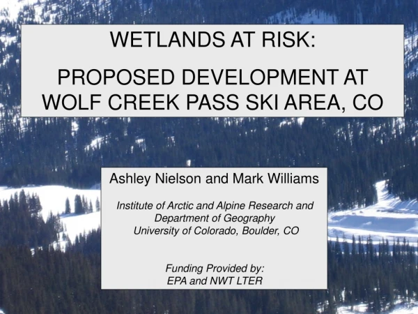
WETLANDS AT RISK: PROPOSED DEVELOPMENT AT WOLF CREEK PASS SKI AREA, CO. Ashley Nielson and Mark Williams Institute of Arctic and Alpine Research and Department of Geography University of Colorado, Boulder, CO Funding Provided by: EPA and NWT LTER. Colorado. Denver.

E N D
WETLANDS AT RISK: PROPOSED DEVELOPMENT AT WOLF CREEK PASS SKI AREA, CO Ashley Nielson and Mark Williams Institute of Arctic and Alpine Research and Department of Geography University of Colorado, Boulder, CO Funding Provided by: EPA and NWT LTER
Colorado Denver Wolf Creek Pass Ski Area Wolf Creek Pass Ski Area, Colorado • Located on the Continental Divide in Southwest Colorado • Small family owned resort • Most average annual snowfall of any Colorado ski resort • Annual average snowfall of 435 in.
“The Village at Wolf Creek” • 288 Acres • 2,000 Residential Structures • 1,200 Hotel Rooms • Designed to house a population of 10,000 users • Located in Alberta Basin at 10,500’ • Present population of Mineral County is 831 residents
Highly Controversial "It's a mess. Our credibility is at stake. What lives on in Southwestern Colorado is at stake. Fifty years from now, Colorado will be a better place if this meadow is just left alone.” Davey Pitcher-President of ski area. “The Premier Mountain Recreational Village in the World” Owners Bob Honts and Red McCombs “Besides the obvious environmental impacts, such a ridiculous development would steer away most skiers who go to Wolf Creek precisely because it's not Vail,” Mark Pearson, executive director of the San Juan Citizens Alliance. “The development brings the threat of dangerous roads, contaminated water, and harm to the very wildlife and landscape that makes this area so unique. I will not support a project that hurts the community I represent.” Congressman John Salzar “Trying to put a city half the size of Durango on less than 300 acres, at 10,300 feet of elevation and at the snowiest place in Colorado makes no sense whatsoever.” Jeff Berman, Colorado Wild
Problem • 93 acres of designated wetlands potentially impacted. • Impervious area is estimated to be 50% of the development • Will the development change the local hydrology? If so, will that impact the wetlands? • Insufficient information on local hydrology to assess impact.
WETLANDS SLOPE WETLANDS DEVELOPMENT BOUNDARY SLOPE WETLANDS
Objectives • Determine if wetlands are fed by groundwater (old) or surface/overland flow (new). • Water chemistry • Water isotopes • Quantify loss of potential recharge to wetlands caused by impervious area from development. • Snowmelt mass balance
OBJECTIVE • Determine if wetlands are fed by groundwater (old) or surface/overland flow (new). • Water chemistry • Water isotopes
Wolf Creek Sampling Sites TMBI XC2 TMB2 XC Spring1 AL Spring2 AL Spring1 Pass Creek Spring2 Synoptic Sampling of Surface Waters June 29, 2006 • Access issues • Samples collected • NADP (precip) • Snow (late-season) • Springs • Surface waters • Analyzed for: • Major Solutes • Stable Isotopes • Tritium NADP
δD= 6.2868x - 11.426 R2 = 0.9955 Isotope Data: δ18O
Tritium Residence Time ~ 1-5 years
Summary: Chemistry, δ18O, Tritium • Geochemical weathering signal • Little difference between surface waters and springs • Little variation in δ18O • Tritium values consistent with age of 1-5 years • Most snowmelt infiltrates. • Spring and surface waters “old” water.
Objective • Quantify loss of potential recharge to wetlands caused by impervious area from development. • Snowmelt mass balance
Development Area=1.2 km2 Contributing Area in Development= 0.77km2
Snow Mass Balance • Volume of water from total contributing area, on average, is 3,400,000 m3 • Estimated development impervious area is 50% • Potentially lose 340,000 m3 • 10% of recharge lost
Loss of Infiltration Area • Impervious area estimated by the developer is 50% of the total area of the proposed development • Bottom line is that we lose about 10% of the recharge area to development • However, this is very conservative, since most of the recharge will be in the lower, less steep portion of the contributing area.
Conclusions • Wetlands show a strong groundwater signal. • 10% of total infiltration lost due to development. • Up-gradient development has a strong potential to impact down-gradient wetlands.