Download
1 / 7
70 likes | 389 Views
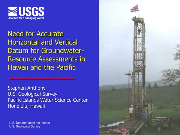
Need for Accurate Horizontal and Vertical Datum for Groundwater-Resource Assessments in Hawaii and the Pacific. Stephen Anthony U.S. Geological Survey Pacific Islands Water Science Center Honolulu, Hawaii. U.S. Department of the Interior U.S. Geological Survey. USGS Water Mission.

E N D
Need for Accurate Horizontal and Vertical Datum for Groundwater-Resource Assessments in Hawaii and the Pacific Stephen AnthonyU.S. Geological Survey Pacific Islands Water Science CenterHonolulu, Hawaii U.S. Department of the Interior U.S. Geological Survey
USGS Water Mission • Provide information to manage, protect, and enhance water resources • Address water-related hazards • Non-regulatory role • Provide information that is reliable, impartial, and timely
Partnerships with Federal, State and Local Agencies in Hawaii and the Pacific • Water-resource monitoring and assessment programs, FY 2011 • NPS, US Army, US Navy, US Marine Corps • Hawaii CWRM, SCD, DOH, DOT, DHHL, and OHA • County water and public works departments • University of Hawaii and University of Guam • Reimbursable funding ~ $3.0 M per year • USGS funding ~ $1.5 M per year
Needfor Accurate Vertical and Horizontal Datum • Groundwater provides more than 90% of the public water supply in Hawaii and Guam • Water table of freshwater lens is extremely flat • Potential errors in coastal areas can be high • Resource assessments require accurate water level measurements referenced to common datum (mean sea level) • Determine groundwater flow directions and change in freshwater storage • Calibrate numerical groundwater flow models used to assess water availability
Priority Areas Requiring Periodic Updates of Vertical & Horizontal Datum • Recently completed • Central Maui, 2003 • Lahaina, Maui, 2007 • West Hawaii Island, 2009 • Eastern Molokai, 2009 • Northern Guam, 2010 • Current needs • Pearl Harbor area, Oahu, 2011