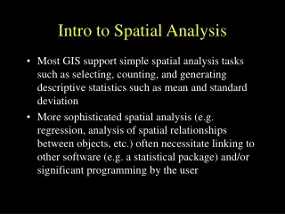
Intro To Spatial Data Analysis
Intro To Spatial Data Analysis. JOU-1526 Computer Assisted Reporting. Content. Modeling our World Modeling our World with GIS Spatial Questions vs. Attribute Questions Results Terms to Know Coordinate Reference System (CRS) Geographic Coordinates Projection Shapefile Layer

Intro To Spatial Data Analysis
E N D
Presentation Transcript
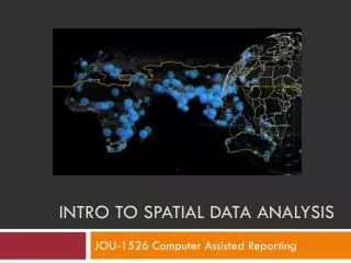
Intro To Spatial Data Analysis JOU-1526 Computer Assisted Reporting
Content • Modeling our World • Modeling our World with GIS • Spatial Questions vs. Attribute Questions • Results • Terms to Know • Coordinate Reference System (CRS) • Geographic Coordinates • Projection • Shapefile • Layer • QGIS 1.8 Lisboa JOU-1526 Computer Assisted Reporting
Modeling our World • We describe any element of our world in 2 ways: JOU-1526 Computer Assisted Reporting
Modeling our World with GIS • A Geographic Information System (GIS) links location data and attribute data JOU-1526 Computer Assisted Reporting
Spatial Questions vs. Attribute Questions • In a GIS data can be queried spatially or by attributes: JOU-1526 Computer Assisted Reporting
Results JOU-1526 Computer Assisted Reporting
Terms to Know • Coordinate Reference System (CRS) • Geographic Coordinates • Projection • Shapefile • Layer JOU-1526 Computer Assisted Reporting
Terms to Know – Coordinate Reference System • Geographic Coordinates • 0° (Degree) Latitude Equator • 0° (Degree) Longitude Greenwich (GB) Ottawa: 45°N, 75°W NEVER MEASURE IN DEGREES!! JOU-1526 Computer Assisted Reporting
Terms to Know – Coordinate Reference System • Map Projections • Method to represent the surface of a sphere(3D) on a plane (2D) Coordinates are now in measurement units like meters, km, feet, miles,… JOU-1526 Computer Assisted Reporting
Terms to Know – Coordinate Reference System JOU-1526 Computer Assisted Reporting
Terms to Know – Coordinate Reference System • Projections always distort surfaces! • Different projections based on location and purpose of map • Shape • Area • Direction • Size JOU-1526 Computer Assisted Reporting
Terms to Know - Shapefile • File containing information about the shape of objects, their attributes and locations File_Name.shp JOU-1526 Computer Assisted Reporting
Terms to Know - Layer • Represent the World as Layers of Information or Themes Layers are saved as Shapefiles JOU-1526 Computer Assisted Reporting
QGIS 1.8 Lisboa Main Window or Canvas Data display area. TOC = Table Of Contents Shapefiles and Tables show here as so called “Layers”. Coordinate Reference System (CRS) Coordinates and Scale JOU-1526 Computer Assisted Reporting
References • Map Projections: http://egsc.usgs.gov/isb/pubs/MapProjections/projections.html • http://www.electoralgeography.com/new/en/countries/c/canada/canada-legislative-election-2011.html • http://datajournalism.stanford.edu/ • http://votecompass.ca/ JOU-1526 Computer Assisted Reporting