Download
1 / 44
440 likes | 452 Views
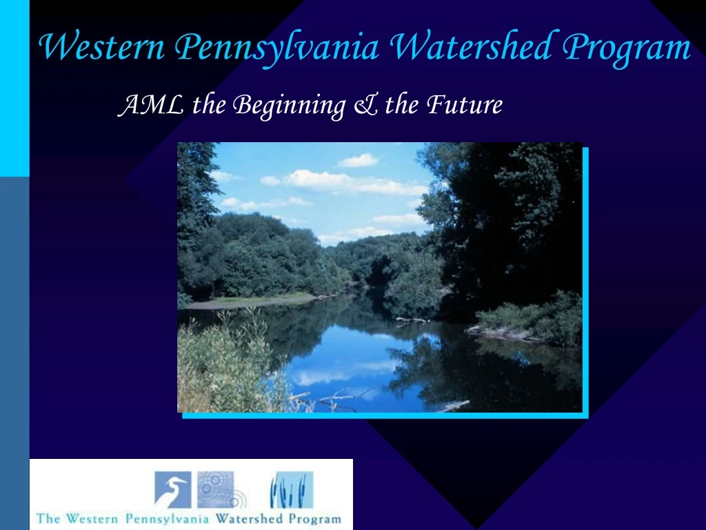
Western Pennsylvania Watershed Program. AML the Beginning & the Future. Abandoned Mine Lands (AML) the Beginning. 1977 : SMCRA Purpose: reclamation & restoration of land & water resources affected by pre-1977 activities Funding: per-tonnage fees on active mining operations:

E N D
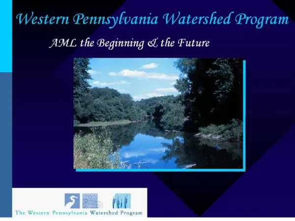
Western Pennsylvania Watershed Program AML the Beginning & the Future
Abandoned Mine Lands (AML)the Beginning • 1977 : SMCRA • Purpose: reclamation & restoration of land & water resources affected by pre-1977 activities • Funding: per-tonnage fees on active mining operations: • $.35 surface mined • $.15 deep mined • $.10 lignite • + interest on the Fund balance
AML the Key Issues • Appropriation • Allocation: Current -v- Historic (east -v- west) • Priorities & Programs • Combined Benefits Fund • Fees: Rates & Expiration
Current Balance: $1,512,522,643.51 (March 31, 2004) • 2003 Collections: $282,554,597 • 2003 Distributions: $158,546,721 • Pennsylvania’s Cut of State Share Balance: $54,759,114.85 AML Fund Balance: 1996-2004
Allocation • East -v- West • 93% of Identified Priority Sites are in Eastern States • Even if fully appropriated, under the current allocation formula OSM estimates that it will take more than 47 years to “complete” reclamation
The Legacy • 4,000+ miles of waterways • 184,000+ acres of land • $5 to $15 Billion to remediate
Allocation Comparison High Priority AML Inventory Problems Pennsylvania: Completed: $326 million Funded: $78 million Unfunded: $4.5 billion Total: $5 billion (AML Balance: $54.7 million) Wyoming: Completed: $114 million Funded: $3 million Unfunded: $12 million Total: $130 million (AML Balance: $393 million)
Priorities • Abandoned Mine Land Inventory System(AMLIS) • Priority 1: Protection of public health, safety, general welfare, and property from extreme danger of adverse effects of coal mining practices. • Priority 2: Protection of public health, safety, and general welfare from adverse effects … • Priority 3: Restoration of land and water resources and the environment previously degraded by adverse effects …
Abandoned Mine Land Inventory System(AMLIS) Produced by the Eastern PA Coalition for Abandoned Mine Reclamation (EPCAMR) for the Western PA Watershed Program
Organization of the Abandoned Mine Land Information System (AMLIS) Database • A nationwide database held by the Office of Surface Mining (OSM) and populated by the states (PA DEP Bureau of Abandoned Mine Reclamation in PA) to identify high priority coal and non coal hazards eligible for reclamation using the Abandoned Mine Reclamation Fund. Which are usually only coal-related problems due to mining prior to the enactment of SMCRA in 1977 and meeting the first two objective known as Priorities 1 and 2 • Most of the data was colleted between the early 1980’s to late 1990’s with updates in reclaimed areas as recent as 2005. Consists of 3 separate but integrated databases • Problem Areas – the general area affected (encompasses the 2 below) • Problem Feature Points - mine shafts, vertical openings, mine drainage seeps, mining structures and old equipment • Problem Feature Areas – an actual feature such as a dangerous highwalls, stripping pits, culm banks, underground mine fire, or a subsidence area Click on the hyperlinks above for a description. Source: OSM’s Website http://www.osmre.gov/aml/inven/zinvin.htm
Priority1 & 2 Problem Types Problem Type Symbol Measured • Clogged Stream Lands CSL Acres • Industrial/Residential Waste IRW Acres • Clogged Streams CS Miles • Polluted Water: Agr. & Indust. PWAI Count • Dangerous Highwall DH Linear Feet • Polluted Water: Human Consumption PWHC Count • Dangerous Impoundments DI Count • Portals P Count • Dangerous Pile and Embankment DPE Acres • Subsidence S Acres • Dangerous Slides DS Acres • Surface Burning SB Acres • Gases: Hazardous/Explosive GHE Count • Underground Mine Fire UMF Acres • Hazardous Equipment & Facilities HEF Count • Vertical Opening VO Count • Hazardous Water Body HWB Count Click on the hyperlinks above for a description. Source: OSM’s Website http://www.osmre.gov/aml/inven/zinvin.htm
Priority 3 Problem Types Problem Type Symbol Measured As • Bench BE Acres • Other O • Industrial/Residential Waste DP Acres • Pits PI Acres • Equipment/Facilities EF Count • Spoil Area SA Acres • Gob Piles GO Acres • Slurry SL Acres • Highwall H Feet • Slump SP Acres • Haul Road HR Acres • Water Problems WA Gal./Minute • Mine Openings MO Count Click on the hyperlinks above for a description. Source: OSM’s Website http://www.osmre.gov/aml/inven/zinvin.htm
If you have an active internet connection, click the map to zoom in and view a specific area.
Organization of the Abandoned Mine Land Information System (AMLIS) Database (continued) • Contains information such as • Latitude and Longitude • Local Name • Estimated amount of Money needed to Reclaim • And the specific measurements that were used to arrive at this value (ex. acreage, perimeter, length, depth/height, flow/volume…) • OSM priority value • And the specific measurements that were used to arrive at this value (ex. the type of feature(s), distance to the nearest population, number of people impacted, injury or death on the site…) • Comments about the assessment (ex. comments from the assessor, date the assessment was made, name of the assessor and contact information) Source: OSM’s Website http://www.osmre.gov/aml/inven/zinvin.htm
Organization of the PA DEP Bureau of Abandoned Mine Reclamation Database • Reclaimed information ranges between 1955 to 2005. • Contains a historical accounting of reclamation work that has been done within Problem Areas by the PA DEP Bureau of Abandoned Mine Reclamation. • Contains information such as the type of features addressed, the amount of money spent, the project name, and the OSM Priority Value
Reclaimed and Unreclaimed AML in a County in the Anthracite Region: Luzerne Co., PA ~13,300 acres of AML Features ~2,600 acres of AML are reclaimed ~20% of the acreage is reclaimed ~45% of the Problem Areas have had Reclamation Work Done ~12% of the Streams are Polluted by AMD ~ 1:500,000 ScaleData Source: AMLIS Database, PA DEP BAMR 2005 & 303(d) List (AMD Only), PA DEP BWM 2005
Typical AML Impacted Community in the Anthracite Region: Swoyersville, Luzerne Co., PA ~1:10,000 Scale Aerial Photo Source: USDA 2004; Photo with caption source: Times Leader March 27, 2005
Identify Results for a Culm Pile in the Anthracite Region: Swoyersville, Luzerne Co., PA ~1:10,000 Scale Data Source: AMLIS Database, PA DEP BAMR 2005 Aerial Photo Source: USDA 2004
Identify Results for Reclamation Work Completed at Problem Area 2233, Luzerne Co., PA ~1:10,000 Scale Data Source: AMLIS Database, PA DEP BAMR 2005 Aerial Photo Source: USDA 2004
Reclaimed and Unreclaimed AML in a County in the Bituminous Region: Cambria Co., PA ~5,990 acres of AML Features ~517 acres of AML are reclaimed ~9% of the acreage is reclaimed ~4% of the Problem Areas have had Reclamation Work Done ~15% of the Streams are Polluted by AMD ~ 1:500,000 ScaleData Source: AMLIS Database, PA DEP BAMR 2005 & 303(d) List (AMD Only), PA DEP BWM 2005
Typical AML Impacted Community in the Bituminous Region: Watkins, Cambria Co., PA ~1:10,000 Scale Photo Sources: Bruce Golden, WPCAMR 2005 Aerial Photo Source: USDA 2004
Identify Results for the Barnes - Watkins Gob Pile, Cambria Co., PA ~1:24,000 Scale Data Source: AMLIS Database, PA DEP BAMR 2005 Aerial Photo Source: USDA 2004
Identify Results for Reclamation Work Completed at Problem Area 2469, Cambria Co., PA ~1:10,000 Scale Data Source: AMLIS Database, PA DEP BAMR 2005 Aerial Photo Source: USDA 2004
Priorities “General Welfare” • 1998 OSM Directive • Priority 2 if: (a) has an adverse economic impact on a local community, or (b) is in the immediate vicinity of a residential area. • “Water Quality Damages” (read: AMD) fit • Elevated many “3s” to “2s”
Abandoned Mine Drainage Blackleggs Creek Watershed Monastery Run – St. Vincent SRI – Harbison Walker II AMD & ART
Resource Recovery • Sewickley Creek Watershed Association/Hedin Environmental • Southern Alleghenies Conservancy
Advancing New Technology • Cooks Run bench-scale testing • Restoring abandoned mine lands
The New Vehicle for Funding- S2616 • Re-authorization for 15 years • Mandatory spending • 10% to 20% reduction in fee • Mineral Leasing Act coal receipts make up for the reduction • States 10% set-aside increased to 30% • $2B at end of Program for PA + WV to be paid at $100M per year
What Will the New Legislation Do? • Address all Priority 1 and 2 sites in the state based upon AMLIS data base • Provide flexibility for water projects through the increased set-aside • Increase amount of funds to watershed associations and the state DEP
Next Steps Pine Creek Valley DEP management watershed 9E declared pristine due to 14 AMD treatment systems now on line