Download
1 / 17
280 likes | 650 Views
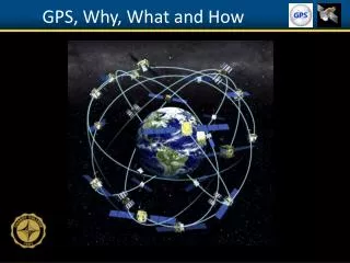
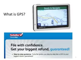
What is GPS. What is the Global Positioning System?. http://www.colorado.edu/geography/gcraft/notes/gps/gps_f.html. Department of Defense developed, worldwide, satellite-based radio navigation system Consists of 24 operational satellites

E N D
What is the Global Positioning System? http://www.colorado.edu/geography/gcraft/notes/gps/gps_f.html • Department of Defense developed, worldwide, satellite-based radio navigation system • Consists of 24 operational satellites • Provides specially coded satellite signals that can be processed in a GPS receiver, enabling the receiver to compute position, velocity and time • Four GPS satellite signals are used to compute positions in three dimensions and the time offset in the receiver clock
Satellites • Each GPS satellite orbits the Earth twice a day • Each satellite transmits signals to Earth • GPS receivers measure the time between when satellites sent a signal relative to the GPS receiver receiving the signal • Tells how far away the satellite is • Signals from several satellites will give accurate results
How do we locate ourselves in 2D space (Trilateration) • 1 point of reference • 625 miles from Boise Source: http://electronics.howstuffworks.com/gps.htm
Increasing accuracy 2 points of reference 625 miles from Boise 690 miles from Minneapolis Source: http://electronics.howstuffworks.com/gps.htm
Finding the location 3 points of reference 625 miles from Boise 690 miles from Minneapolis 615 miles from Tuscon Source: http://electronics.howstuffworks.com/gps.htm
How do we locate ourselves in 3D space using GPS • Trilateration in 3 dimensions
GPS Position – 1 satellite Source: After Lusch 1996
GPS position – 2 satellites Source: Garmin GPS Guide for Beginners
GPS position – 3 satellites Source: Garmin GPS Guide for Beginners
GPS accuracy • < 1m to ~15m depending on technology • WAAS • Wide area augmentation system • Consists of 25 ground reference stations positioned across the United States that monitor GPS satellite data • Only available in the USA • EGNOS now in Europe • MSAS now in Japan • BEIDOU now in China • GAGAN now in India • Gives accuracy to within 5 ft
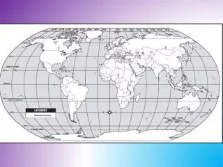
90°N 45°N 90° 45° 0° 45° 90° 45°S 90°S How latitude and longitude are measured
eTrex Venture/Legend GPS Zoom buttons Page button Scrolls between different screens Find button on/off enter Thumb stick