
LANDSCAPES
E N D
Presentation Transcript
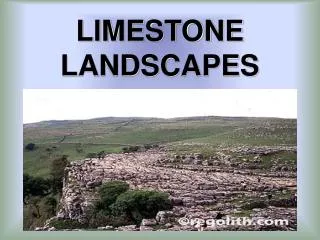
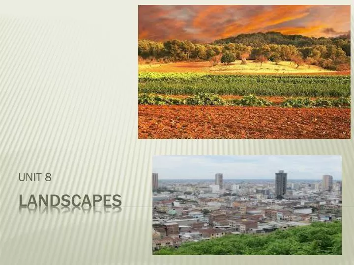
UNIT 8 LANDSCAPES
The eastern part of La Meseta is higher than the western part, for this the rivers in La Meseta flow east to west into the Atlantic Ocean.
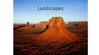
It’s a group of rounded mountain ranges in the north west It separates La Meseta from the coast. They form part of the border with France They separate the coastal area from the interior Low mountains in the north east, near the coast It separates La Meseta from el valle del Ebro Subbética Cazorla, Segura & La Sagra It separates La Meseta from el valle del Guadalquivir Penibética Sierra nevadaMulhacén Mulhacén is the highest mountain on the peninsula
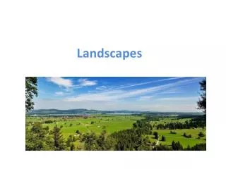
Natural Depressions They are low plains surrounded by higher land. We can also call a depression a river basin.
C0STA CANTÁBRICA is in the north of the peninsula. From Estaca de Bares to the border with France. • Some places have high, rocky cliffs. (influence of Cordillera Cantábrica y Montes Vascos) • Other places, like Santander, the coast has low and sandy beaches. • GALLEGA is in the northwest of the peninsula. From Estaca de Bares to the mouth of the river Miño(border with Portugal). • It’s high and irregular with rocky cliffs. • Bajas in the south. • It’s famous for its Rías • Altasin the North. • ANDALUZA extends from el Estrecho de Gibraltar to Portugal. • A low sandy coastline with saltwater marshes and sand dunes. • COSTA MEDITERÁNEAis in the South and east of the peninsula. It’s the longest coast. From el Estrecho de Gibraltar to the French border in Cataluña. • It has mostly long, sandy beaches. • COSTA • ATLÁNTICA
ISLANDS ISLAS CANARIAS
RIVERS • Rivers are continuous currents of water which flow into the sea, another river or a lake. • The characteristics of rivers depend on climate and relief. • The course is the path of the river from its source to its mouth. • The water flow is the amount of water that a river carries.
watersheds • It’s the area of land where different rivers flow into the same sea. • Cantabrian watershed – The rivers are very short and very fast because the mountains where they begin are close to the sea. • - The water flow is large owing to high precipitation in the Atlantic zone. • Atlantic watershed– The largest watershed. • - It has three regions: • Galicia: they are short and fast flowing, with the largest water flow because their courses pass through the Atlantic climate zone. • La Meseta: They are much longer, with an irregular water flow because they pass through areas of low precipitation in the continental climate zone. El TAJO IS THE LONGEST RIVER ON THE PENINSULA. • Western Andalucia • Mediterranean watershed –They are mainly short rivers, with an irregular water flow. • - They pass through the Mediterranean climate zone where the amount of precipitation varies greatly.