Download
1 / 32
320 likes | 346 Views
This article discusses the importance of spatial thinking skills in geoscience and offers strategies and exercises to help improve these skills in students. It highlights the various components of spatial thinking and provides examples of tasks and assessments. The article also emphasizes the need for ongoing practice and training in spatial thinking abilities.

E N D
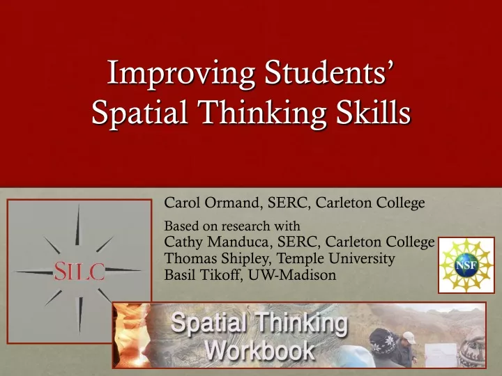
Improving Students’ Spatial Thinking Skills Carol Ormand, SERC, Carleton College Based on research with Cathy Manduca, SERC, Carleton College Thomas Shipley, Temple University Basil Tikoff, UW-Madison
What Research Tells Us • Spatial skills cannot be measured and characterized with a single test; a suite of tests is required • Spatial thinking skills improve with practice • There is a wide range of spatial thinking abilities, even among geoscience majors in upper-level courses • Although students can succeed in undergraduate geoscience courses with weak spatial thinking skills, incorporating spatial skills training is likely to have two benefits: • Increasing the pool of potential geoscientists • Improving gender equity in the geoscience workforce
What is Spatial Thinking? • What are some of the tasks that you have your students do that have a spatial component? • What are some of the tasks that you do as a geoscientist that have a spatial component? • How can we help our students progress from where they are to where you are?
Examples of Spatial Thinking • Student tasks: • Interpret maps and aerial photos • Create physical geographic profiles • Interpret and correlate well logs • Draw a diagram of isotopic composition of water in different locations within a system • Making maps in GIS; 3D mapping; drawing subsurface hydrology • Calculate the variation of properties in space, statistically • Make a beach profile, interpret sediment samples, compare to prior years’ data • Develop computer models to solve characteristic equations • Model 3D flow • Describe coastal upwelling (narrative) Expert tasks: • Reconstruct spatial cross-section from time series from buoy and Gulf Stream • Observe, interpret, and model what we see in outcrops (sedimentary rocks) • Analyze nutrients in water to interpret inputs • Contour maps – recognize errors in computer-generated contouring • Groundwater – surface water interactions through time • River scale flow modeling • Using isotopes to reconstruct paleoclimate • Reconstruct the subsurface from seismic data • Develop a GIS curriculum, including teaching basic geographic concepts • Organizing classroom to maximize student interactions
Spatial thinking includes (but is not limited to)… • Mental rotation: imagining rotating an object • In cognitive science research, mental rotation skills have served as a proxy for all spatial thinking until quite recently. Data from many different sources (including our studies) suggest this is insufficient.
Spatial thinking includes (but is not limited to)… • Perspective taking: imagining looking at an object or scene from a different direction • Visualizing: imagining a 3D object from a 2D representation
Spatial thinking includes (but is not limited to)… • Penetrative thinking: imagining what a slice thru an object would look like • Disembedding: attending to one aspect of a complex scene
Spatial thinking includes (but is not limited to)… • Navigation • Scaling
Spatial Thinking in Geoscience • Spatial thinking appears to be essential in a number of subdisciplines in the geosciences • Faculty describe poor spatial skills as a barrier to success • Spatial skills training in engineering has led to improved class performance and retention in the major
Measuring Spatial Skills • Mental rotation
Measuring Spatial Skills • Penetrative thinking: imagining the shape of a slice through an object
Measuring Spatial Skills • Penetrative thinking: imagining a slice through an object, including its interior
Measuring Spatial Skills • Paper folding • Disembedding * * Disembedding: isolating and attending to one aspect of a complex display or scene
Measuring Spatial Skills • Water level
Our Conclusions • There is a wide range of spatial thinking abilities, even among geoscience majors in upper-level courses • Spatial skills cannot be measured and characterized with a single test; a suite of tests is required • Spatial thinking skills improve with practice So… what kind of training/practice would be most effective?http://serc.carleton.edu/spatialworkbook/index.html
What kinds of brief, weekly exercises could you give your students? Take a few minutes to brainstorm a list of 10-minute exercises you could have your students do to practice the kinds of spatial thinking that show up in your courses. • Suggestions: • Focus on what you want them to be able to do. • Start simple, and build up to more difficult tasks over time. • Demonstrate how to approach the exercises. Work an example before having students tackle the first one.
Spatial Workbook Project: focuses on penetrative thinking • Builds on prior work: • From geoscience education: • Titus & Horsman’s exercises (JGE, 2009) • Steve Reynolds’ computer visualizations of landscapes and structures • Visible geology tool (http://app.visiblegeology.com/) • Our studies thus far
Spatial Workbook Project • Builds on prior work: • From cognitive science: • Progressive alignment • Gesture • From STEM education: • Sorby workbook for engineers
Detailed look at instructional “intervention” at UW-Madison • Structural Geology class at the UW-Madison • Test of 2011-2014 spatial thinking workbook concept • Spring 2010: collect baseline data • Pre- and post-tests of students’ penetrative thinking, mental rotation, and disembedding skills • Spring 2011: • Same pre- and post-tests of penetrative thinking, mental rotation, and disembedding skills • Weekly penetrative thinking exercises at the beginning of lab • Designed to take 10-15 minutes • Variety of forms (pencil & paper, computer visualizations, play-doh) • Geological and non-geological content • All required students to sketch one or more cross-sections
Weekly Exercises: analog modeling • Use play-doh to construct a model of • An anticline • Boudinage • Lineation (for example, a stretched pebble conglomerate) • Slice through your model in several different directions • Sketch cross-sections parallel, perpendicular, and oblique to the structural grain • How would your cross-sections be different if the structure (or long axis of the strain ellipsoid) was plunging?
Weekly Exercises: analog modeling • Construct a model of a faulted fold, like the one illustrated below, using play-doh. Slice the model • Parallel to the fold hinge • Perpendicular to the fold hinge, through the fault surface • Sketch the resulting cross-sections • Investigate similar structures: • Faulted syncline • Faulted plunging fold Image by Titus and Horsman
Weekly Exercises: computer visualizations • Sketch a cross-section for the slicing plane indicated, as viewed from the right side of the block • Sketch the 3 cross-sections of a human foot indicated in the diagram below A B C
Weekly Exercises: thought exercises • Construct a structure contour map for the top of the gray unit, using 100m contour intervals; describe the orientation of this structure and the structure contour lines in words • Sketch a cross-section from A-A’ Images & exercises by Titus and Horsman
Results: Penetrative Thinking (ETS planes of reference) UW-Madison, Structure, Spring 2010 UW-Madison, Structure, Spring 2011
Results: Mental Rotation (PVRT) UW-Madison, Structure, Spring 2010 UW-Madison, Structure, Spring 2011
Results: Disembedding (ETS hidden figures) UW-Madison, Structure, Spring 2010 UW-Madison, Structure, Spring 2011
UW Structure Class Study Results • Spring 2010: • Students demonstrated a wide range of spatial thinking skills • Students showed modest improvement (on average) on all 3 measures, with statistically significant improvement in penetrative thinking • Spring 2011: • Students demonstrated a wide range of spatial thinking skills • Students showed greater average gains on all 3 measures, and all gains were statistically significant
Conclusions • Spatial thinking skills improve with practice (even 10-15 minutes each week can make a difference) • Interventions focused on strengthening penetrative thinking may also help develop other aspects of spatial thinking • Next year: testing progressive alignment and gesture exercises. Stay tuned.
What kinds of brief, weekly exercises could you give your students?