Download
1 / 23
230 likes | 426 Views
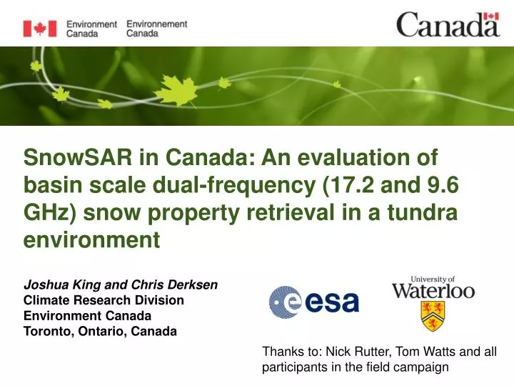
SnowSAR in Canada: An evaluation of basin scale dual-frequency (17.2 and 9.6 GHz) snow property retrieval in a tundra environment. Joshua King and Chris Derksen Climate Research Division Environment Canada Toronto, Ontario, Canada.

E N D
SnowSAR in Canada: An evaluation of basin scale dual-frequency (17.2 and 9.6 GHz) snow property retrieval in a tundra environment Joshua King and Chris Derksen Climate Research Division Environment Canada Toronto, Ontario, Canada Thanks to: Nick Rutter, Tom Watts and all participants in the field campaign
Motivation • Radar as an emerging technology for observation of snow properties • ESA Earth Explorer CoReH2O • Dual frequency 17.2 and 9.6 GHz (Ku- and X-band) synthetic aperture radar (SAR) • Few studies have investigated seasonal/spatial Ku- and X-band radar response and no previous study in a tundra environments VV Ku VH
Research Gaps • Soil/Vegetation properties • Uncertainties related to variation in soil and vegetation dielectrics • Snow grain properties • Unbiased measurements may allow the role of large depth hoar to be evaluated • Scaling of observations • Are small scale variations in snow and soil properties influential at the airborne and/or satellite level?
SnowSAR in Canada • Airborne radar operating at the proposed CoReH2O frequencies • 17.2 and 9.6 GHz • Dual-polarization (VV, VH) • 2 x 2 m spatial resolution • Three observation campaigns in Trail Valley Creek near Inuvik, NWT (December 2012 , March 2013, April 2013) • Trench stratigraphy experiments • Improved snow grain characterization (IRIS) • Seasonal soil permittivity in multiple locations
Flight data summary December - 0/27 March – 24/27 April - 23/27 Incidence angles between 38 and 55 degrees Local incidence angles between 26 and 62 degrees Swath generally < 400 m All 4 channels (Ku and X VV, VH) available with all completed flight lines
Snow Measurement Campaign Snow Pit (< 1 m) Snow Trench (5 to 50 m) Snow Transect (> 100 m) Lidar (Basin scale)
Sic SicCreek - Snow Pit Locations Pit Locations Upland Tundra River Valley Forest Transition
December Sic Sic Creek - Seasonal Pit Locations March Upland Plateau Valley April Forest transition March
Sic Sic Creek - Backscatter April 2013, 50 m, 45-50 deg elevation Upland Plateau Valley Forest transition
MEMLS Workflow – Pit Snow Pits MET Tower Data Mironov (2010) 2-Layer Snowpack SSA to Pc From IRIS Surface Roughness Wegmüller & Mätzler(1999) Snow Input 1 M = 0.05 Q = 0.1 Sccho = 13 MEMLS Active Derived Data Simulated Data Observed Data
Sic Sic Creek - MEMLS Active • 10 m average of observed radar backscatter • Small range of depth suggest grains may be an important in sic sic creek • Can we compare single pits against radar pixels?
Sic SicValley - 5 m Trench • IR photography completed in 5 to 50 m trench excavations by Watts & Rutter • Stratigraphy extracted from stitched IR imagery to create 2D map
Sic SicValley - 5 m Trench • Topography produces a range of depth over short distances • Also tends to drive DH fraction • Distribution of grain properties built from snow pits within +-3 days • Due to the nature of tundra snow, the slab distribution includes solid facets
MEMLS Workflow – Distribution Snow Pits MET Tower Data Trench Excavation Mironov(2010) 2-Layer Snowpack Grain Distribution Stratigraphy Distribution Surface Roughness Snow Input 1 Wegmüller & Mätzler(1999 Snow Input 2 Snow Input n MEMLS Active Derived Data Simulated Data Field Data
Summary/Moving forward • Relating backscatter to physical snow properties is a complex process • Improved understanding of horizontal variation in grain properties and stratigraphy is needed • Model advancement and inversion possible but requires community effort to assist in validation • Physically based justification for tuning possible with known distributions • Additional uncertainties including soil contribution must be resolved in the near future
Vegetation • Backscatter appears influenced by local vegetation • Methods needed to decompose contributions from vegetation and snow to develop retrieval
Snow Measurement Campaign Snow Pit (< 1 m) Snow Trench (5 to 50 m) • Manual Stratigraphy • Density (100 cc cutter) • Temperature Profile (4 cm) • IRIS SSA (5 cm) • IR Stratigraphy • Multiple snow pits • IRIS SSA (5 cm)