Download
1 / 56
560 likes | 573 Views
This study explores the predictability of cloud-to-ground (CG) lightning using reflectivity data from WSR-88D radar. Results show potential for probabilistic guidance based on radar clues.

E N D
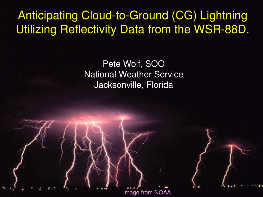
Anticipating Cloud-to-Ground (CG) Lightning Utilizing Reflectivity Data from the WSR-88D. Pete Wolf, SOO National Weather Service Jacksonville, Florida Image from NOAA
Should We Do More? • CG lightning as weather-related killer…2nd to floods. • CG lightning among leading weather-related causes of property damage, and most frequent damage claim. • $2 billion+ annually in U.S. alone. • Lightning is the most frequent threat to life/property. • Our current effort is primarily focused on public awareness. • 30/30 rule, “Take Cover if you Hear Thunder”, Lightning Awareness Week, etc. • In real-time, we do more to alert people of penny-sized hail than CG lightning. • More is not done due to belief that all t-storms produce deadly lightning.
Is CG Lightning Predictable (or at least “Nowcast”-able) • A study on CG lightning initiation radar clues at the Kennedy Space Center (KSC) determined that skill in anticipating CG lightning was achievable. • The study involved about 40 thunderstorms around the KSC area. • Results showed the best correlation when the 40dBZ core reached at least the -10C height…yielding a POD around 0.85, an average lead time of 7.5 minutes, and a low FAR.
WFO Jacksonville FL Study • A more ambitious study was completed in 2005, involving 420+ convective cells across northern FL, southern GA and other areas of the southern U.S. The study included a mix of single cell, multi-cell, and supercell events occurring during various times of the year (a few cases were in prior years). • Nearly 320 cells for CG initiation study, 109 not producing CG lightning. • Additional 109 cells producing numerous CG strikes after initially producing isolated/scattered strikes • The study compared storms producing… • No CG strikes (that had 40dBZ core up to at least 10 Kft, with an echo top up to at least 22 Kft) • Isolated/Scattered strikes (defined as 1-10 CG strikes per 5-minute period) • Numerous/Excessive strikes (defined as > 10 CG strikes per 5-minute period)
WFO Jacksonville FL Study • KSC Study: • Used Environ. -10C level • Used 40 dBZ echo height • JAX Study • Used “Updraft” -10C level • Used 40 dBZ echo height Updr -10C Envir -10C
WFO Jacksonville Findings • Due to a number of issues, a probabilistic approach to the results was taken. • Radar issues (e.g. interpolation, calibration, etc). • NLDN output accuracy issues. • Specific values issue (is there a difference between 40 dBZ and 38 dBZ or 42 dBZ?)
WFO Jacksonville Findings The results suggested skill in producing probabilistic guidance based on the 40 dBZ echo height… PROBABILITY OF: No CG CG Nmrs CG Lgtng Lgtng Strikes 40dBZ height < -10C level – 8 kft 100% 0% 0% 40dBZ height = -10C level – 5 to 7 kft 87% 13% 0% 40dBZ height = -10C level – 2 to 4 kft (~ -6/-7C level) 67% 33% 0% 40dBZ height = -10C level +/- 1 kft (apprch/exceed -10C) 23% 77% 0% 40dBZ height = -10C level + 2 to 4 kft 22% 78% 0% 40dBZ height = -10C level + 5 to 7 kft 0% 100% 18% 40dBZ height = -10C level + 8 to 10 kft 5% 95% 41% 40dBZ height > -10C level + 11 to 14 kft 1% 99% 75% 40dBZ height > -10C level + > 14 kft 0% 100% 92% (51%) Note skill in predicting CG strikes when 40dBZ height reaches -10C height in updraft. Note skill in predicting numerous CG strikes when 40 dBZ height > -10C height + 10kft. Note CG lightning is unlikely when the 40dBZ height is no higher than -10C level - 5kft The probability patterns above suggest probabilistic guidance can be generated for CG lightning.
WFO Jacksonville Findings…Update Updated results through mid 2006, incorporating a total of 835+ convective cells: PROBABILITY OF: No CG CG Nmrs CG Lgtng Lgtng Strikes 40dBZ height < -10C level – 8 kft 100% 0% 0% 40dBZ height = -10C level – 5 to 7 kft 92% 8% 0% 40dBZ height = -10C level – 2 to 4 kft (~ -6/-7C level) 79% 21% 0% 40dBZ height = -10C level +/- 1 kft (apprch/exceed -10C) 39% 61% 0% 40dBZ height = -10C level + 2 to 4 kft 16% 84% 0% 40dBZ height = -10C level + 5 to 7 kft 1% 99% 11% 40dBZ height = -10C level + 8 to 10 kft 2% 98% 35% 40dBZ height > -10C level + 11 to 14 kft 2% 98% 45% 40dBZ height > -10C level + > 14 kft 0% 100% 92% (57%) Note skill in predicting CG strikes when 40dBZ height reaches -10C height in updraft. Note skill in predicting numerous CG strikes when 40 dBZ height > -10C height + 10kft. Note CG lightning is unlikely when the 40dBZ height is no higher than -10C level - 5kft The probability patterns change little, again suggesting probabilistic guidance can be generated for CG lightning.
Failure Areas • This concept does not work well for: • Lengthy anvils, that may not have 40dBZ echo, yet can yield “bolts from the blue”. • Widespread MCS stratiform regions. • It is possible to relate these failures to a sufficiently high 40dBZ core within the upstream (storm-relative) updraft region. • Manual intervention needed to account for these failure areas.
CASE EXAMPLES • Let’s take a look at a few cases, to demonstrate what the results suggest…an ability to anticipate occurrence and amount of CG lightning, based on WSR-88D reflectivity data. • April 22, 2005: Supercell/bow echo case • June 27, 2005: Pulse storm case • The following are 5-min CG lightning displays (from NLDN), with CG lightning probabilities overlaid (numerous strike…>10 per 5 min…probabilities in parentheses). • Very High Probability…90%+ (80%+) • High Probability…60-85% (50-75%) • Moderate Probability…30-50% (25-45%) • Low Probability…5-25% (5-20%)
PROBABILITIES USED IN EXAMPLES 40dBZ height relative Prob of CG lightning Prob of numerous strikes to updraft -10C level (1+ per 5 min period) (> 10 per 5 min period) -8+ kft -7 kft 5% -6 kft 10% -5 kft 15% -4 kft 20% -3 kft 30% -2 kft 40% -1 kft 50% 0 kft 60% +1 kft 70% +2 kft 75% +3 kft 80% +4 kft 85% 5% +5 kft 90% 10% +6 kft 95% 15% +7 kft 95% 20% +8 kft 95% 25% +9 kft 95% 30% +10 kft 99% 40% +11 kft 99% 50% +12 kft 99% 60% +13 kft 99% 70% +14 kft 99% 80% > +14 kft 99% 90%
1640z March 22, 2005 Part I
1645z 1645z
1655z 1655
1700z 1700z
1705z 1705z
1710z 1710z
1715z 1715z
1725z 1725z
1815z P A U S E
2045z March 22, 2005 Part II (2 ½ hrs later)
99(90) 2135z
2145z P A U S E
1725z June 27, 2005