Download
1 / 8
80 likes | 239 Views
Federal Geographic Data Committee Overview. FGDC Steering Committee June 7, 2011. Ivan DeLoatch, Executive Director FGDC Secretariat, USGS. What is the FGDC?.

E N D
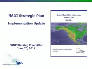
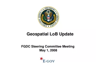
Federal Geographic Data Committee Overview FGDC Steering CommitteeJune 7, 2011 Ivan DeLoatch, Executive Director FGDC Secretariat, USGS
What is the FGDC? • FGDC is a Federal interagency committee responsible for leading and facilitating the coordinated development, use, sharing, and dissemination of geospatial data on a national basis • Provides executive direction, guidance, and oversight for geospatial policy decisions and initiatives across the Federal government • Facilitates coordination between agencies, governments, academia, industry and professional organizations in developing geographic information and technology • Promotes the efficient, transparent, accountable, and effective use of geospatial information in meeting national requirements • Acts as the interagency coordinating body for National Spatial Data Infrastructure (NSDI)-related activities
Policy, Guidance, and Mandate • OMB Circular A-16 • 1990: Formally established FGDC and designated Secretary of the Interior as Chair • 2002: Revised and established OMB as Vice Chair • 2010: OMB Circular A-16 Supplemental Guidance • Executive Order 12906 • 1994: Called for development of National Spatial Data Infrastructure (NSDI) and assigned FGDC to lead and coordinate • 2003: Revised and recognized Department of Homeland Security • E-Government Act, Section 216 • 2002: Called for DOI, through the FGDC, to develop common protocols for geographic information
What is the NSDI? “… the technology policies, standards, human resources, and related activities necessary to acquire, process, distribute, use, maintain, and preserve spatial data.” (OMB Circular A-16) • Major Components: • The organizations and individuals who generate or use geographic data; • The technologies that facilitate the use and transfer of geographic data; and • The actual data. • The NSDI is a cooperative effort involving federal, state, and local government, the private sector, and academia. The FGDC is charged with providing the federal leadership for evolving the NSDI.
FGDC Enterprise Initiatives 1992 Geospatial Clearinghouse Network 2001 Geospatial One Stop E-Gov Initiative 2010 2013 Geospatial Shared Services 2006 Geospatial Line of Business E-Gov Initiative Geospatial Platform -NSDI -Framework data -Develop policy -Geospatial Standards -Discovery and search of geospatial assets from all levels of government • -Enterprise Program • -Business Requirements • Data Lifecycle • Common Services • Segment Architecture -Portfolio Management -Shared Architecture -Common Data, Services, and Applications -Cloud Computing -Data, Services, Applications / Shared Infrastructure -Mobile Technology -Place-based Solutions -Geo-enabling Government
Recent FGDC Activities and Achievements • Support for Recovery.gov • Support for Data.gov • Support to agencies implementing the Administration’s Place-Based policy • Established the National Geospatial Advisory Committee as advisory body • Launched the GeoCloud Computing Pilot • Completed the OMB Circular A-16 Supplemental Guidance • Endorsed over 70 technical and content standards • Completed the Modernization Roadmap for the Geospatial Platform
Thank You Questions? Ivan DeLoatch, Executive Director FGDC Secretariat, USGS 703-648-5752 ideloatch@fgdc.gov