Download
1 / 19
190 likes | 305 Views
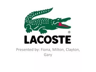
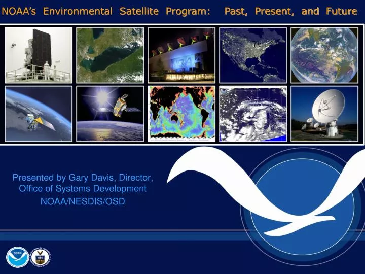
NOAA’s Environmental Satellite Program: Past, Present, and Future. Presented by Gary Davis, Director, Office of Systems Development NOAA/NESDIS/OSD. Space-Based Remote Sensors Changed Way We See Our World. Explorer Launch. GOES-12 East. TIROS-1. NOAA-18.

E N D
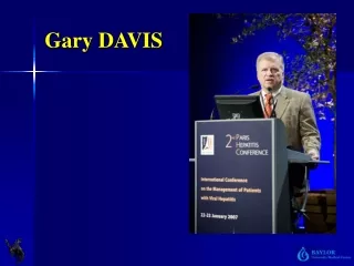
NOAA’s Environmental Satellite Program: Past, Present, and Future Presented by Gary Davis, Director, Office of Systems Development NOAA/NESDIS/OSD
Space-Based Remote Sensors Changed Way We See Our World Explorer Launch GOES-12 East TIROS-1 NOAA-18
Birth Of U.S. Weather Satellite Program • Traces back to the Department of Defense (DoD) rocket, sensor, and satellite development projects beginning the decade following World War II • With little theory and very little experience available to guide these projects, DoD development teams learned their space trade on the job, often resulting from analyses of catastrophic failures • DoD developed instruments to measure atmospheric conditions that the rockets were encountering as they were propelled to then extraordinary altitudes • Measurements recovered from salvaged recorders or from radio transmissions were the basis for meteorological satellites research • Still cameras became part of the payload and recovered film depicted images of the Earth’s surface and cloud cover from space
Birth Of U.S. Weather Satellite Program President Eisenhower and James Killian
Two Credible Space Agencies: NASA and DoD • Research and development efforts to improve space capabilities and better data interpretation • May 1961 – President Kennedy announces US intention to conduct an operational weather satellite programs day and night observations of global cloud cover • open broadcasts of the information collected by the on-board sensors • Broadcasts to be available for collection by any ground station in line of sight of the satellite without restriction on the collection and use or any requirement to pre-notify the United States
“WAS”:Rockets and Cameras View of Earth from a camera on V-2 #13, launched October 24, 1946
“WAS”:Rockets and Cameras July 26, 1948
“WAS”:Rockets and Cameras Sounding rocket launched at 1815 GMT on October 5, 1954 from White Sands, New Mexico First Cyclone seen from space.
Pioneers of Earth’s Observation “Now the clouds move and not the satellite.” Professor Suomi reaction to the images taken from the first spin scan cloud camera Dr. Tetsuya “Ted” Fujita David Johnson Dr. Harry Wexler Professor Suomi Dr. Francis W. Reichelderfer,
Long-Time Friends • Johnson directed ~ $75K to be used to built spin scan camera. • Joint collaboration to “sell NASA to take the risk and fly the first camera on ATS-1! • Handshake agreement between Suomi and Johnson moved 8 families to the Madison from the Washington Lab. • Johnson and Suomi justified the necessity of an “In-orbit backup” and “two-satellite system” in polar and geostationary orbits. (defense of the 1984 budget to Congress) Professor Suomi David Johnson
David S Johnson1924 – 2004 • Director, National Environmental Satellite Center, Environmental Science Services Administration • First Assistant Administrator, NOAA for Satellites and Data • President, American Meteorological Society • Led delegation opening dialogue with the State Meteorological Administration of the Peoples Republic of China • Chair National Academy of Sciences Committee to modernize the NWS • Consultant to the Secretary General of WMO • Special Assistant to the President of the University Corporation for Atmospheric Research • Study Director, National Research Council • NOAA David Johnson Award recognizing young professionals for innovative applications of Earth observation data
Explorer VIIOctober 13, 1959 Professors Suomi and Parent pose with one of their radiometers. The black ball is part of their heat budget experiment.
Exciting Moment in NOAA • First weather satellite launched from Cape Canaveral, FL • 77 Days • Satellite Weight: 122 kg • Payload: Two TV cameras, two video recorders, and the power, communications, and other systems needed • First view of cloud formations as they developed and moved across the continent
A Period of Phenomenal Remote Sensing Discovery and Development • Late 1960s and early 1970s NASA and NOAA developed a relationship • NASA developed the environmental satellite technology for NOAA • NASA received from NOAA insights concerning the conduct of daily satellite operations, data processing, and timely delivery of products, as well as application of these data. • NOAA reimbursed NASA for personnel and other costs incurred helping NOAA meet its space mission • General and specific agreements governed the relationship, responsibilities, and costs of the support provided to NOAA • NOAA was charged with • determining civilian user satellite services requirements • specifying the required system performance • obtaining the funds to build, launch and operate the satellite/ground systems • NASA was charged with • Building and launching prototypes (ATS, SMS, NIMBUS, TIROS-N, etc) • Acquiring and launching operational satellites for NOAA
Polar Satellites 1965 First complete view of the world’s weather (TIROS-9) Jan 1965 1950 1970 1990 2010 2030 TIROS-N NOAA 1-11 NOAA 12-19 COSMIC NPP NPOESS Jason OSVW TIROS-1 OCO Wind Lidar TIROS-9 DMSP NIMBUS
NOAA-19 Satellite Launch NOAA-19 Delta II 7320 Space Launch Complex 2, Vandenberg AFB Feb. 6, 2009 10:22 GMT
GOES-14 LAUNCH 1950 1970 1990 2010 2030 ATS 1-3 SMS-1/2 GOES A-H GOES I-M GOES NOP GOES R-U • Launched on June 27, 2009 at 6:51pm EDT aboard a Delta-IV rocket from Space Launch Complex (SLC) 37B at Cape Canaveral Air Force Station, Florida. • GOES-O reached final geostationary orbit on July 8, 2009 at which time GOES-O was be renamed GOES-14. 18 – For Official Use Only – Predecisional, Deliberative Information - Not for Public Release
Where are We Going? • NPOESS and GOES-R • More timely and accurate 305 day weather forecasts • Longer lead time for severe weather warnings • Continue data sets needed for climate research • Jason-3 • Ocean Vector Winds Mission (QuikScat) • GPS Radio Occultations • Restoring demanifested Climate Sensors (CERES, TSIS, APS, OMPS) • Solar Wind • Partnering with NASA on other areas • Decadal Survey • Joint Center for Satellite Simulation