Download
1 / 11
110 likes | 234 Views
This document outlines significant improvements in forecasting oceanic cyclones at the NOAA Ocean Prediction Center over the past 25 years. Notable historical events, such as the creation of the meteorological "bomb" and analyses from key studies like the Genesis of Atlantic Lows Experiment and ERICA, illustrate the evolution of forecasting techniques. Emphasizing methodologies, the report compares forecasted and analyzed positions, highlighting advancements in prediction accuracy for both Atlantic and Pacific cyclones. Future work aims to enhance long-range predictive capabilities and educate stakeholders about cyclone intensity and forecasting.

E N D
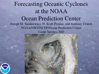
Forecasting Oceanic Cyclones at the NOAA Ocean Prediction CenterJoseph M. Sienkiewicz, D. Scott Prosise, and Anthony CrutchNOAA/NWS/NCEP/Ocean Prediction CenterCamp Springs, MD
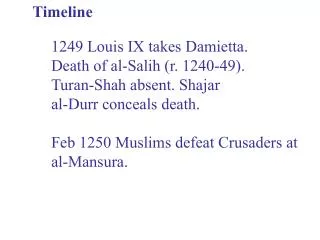
Timeline Sanders and Gyakum, 1980 – Defined the meteorological oceanic “BOMB” Anthes et al., 1983 – QE-II Storm – “…major improvements…through…improved initial conditions, improved horizontal and vertical resolution and changes in the physical parameterization of surface fluxes and latent heating.” 1986-Genesis of Atlantic Lows Experiment (GALE) Sanders, 1986 – “LFM is able to capture essentials of the baroclinic process, and that the amount of response to baroclinic forcing remains intractable.” 1988-89 Experiment on Rapidly Intensifying Cyclones over the Atlantic (ERICA) Sanders (1992) – “the state of the art in prediction of marine cyclones has advanced substantially over the last 15 years” Uccellini et al., 1999 – “…the occurrence and position of intense, fast moving oceanic storms can be forecast in the day-4 time range.”
OPC Graphical Forecast Verification 48 Hour Surface Forecast VT 1200 UTC 18 Mar 2004 Verifying Surface Analysis 1200 UTC 18 Mar 2004 Methodology For all observed cyclones Compare forecast & analyzed Position Central pressure Wind warning category 96 Hour Surface Forecast VT 1200 UTC 18 Mar 2004
OOCL America Pacific - Jan 2000 350 containers lost overboard 217 crushed or bent out of usable condition. Vessel lost power for a short period and took several severe rolls.
October 2003 through March 2004 A-350 P-279 P-228 A-170 - Sanders, 1988-89 (A-Atlantic P-Pacific)
Categorical Position Errors A96-350 P96-279 P96-284 P96-248 P48-228 A48-170 P96- Uccellini et al 1993-94 A,P;48,96 – Sanders 88-89
Conclusions Remarkable progress in 25 years!!! 48 and 96 hour extratropical cyclone forecasts comparable or exceed 10 year average track errors for Atlantic Tropical Cyclones Track error less for Atlantic than Pacific for all categories of cyclones Hurricane Force – track error significantly higher than other categories of strong cyclones for 96 hour forecasts Mean pressure errors - tendency to underforecast highest for extreme storms error larger for Atlantic than Pacific (96 hours, 965 hPa or less) Warnings – Difficulty forecasting intensity of the hurricane force event tend to underforecast by one warning category NWP Forecast winds NWP Pressure errors Short lived events (24 hours or less)
Future Work Improve day 4 forecasts of Hurricane Force Cyclones Climatology of extreme events Reanalysis data, cyclone phase diagrams Are we missing something? SST, small scale structure Ensembles - Improve deterministic forecasts - Develop a suite of ensemble based probabilistic forecasts Must educate the customer Forecasts for 6 to 10 day period