Download
1 / 10
120 likes | 168 Views
Learn how to create, texture, and manage 3D city models in ArcGIS using multipatch features and popular file formats like Collada and 3D Studio. Enhance your urban analysis and visualization skills with easy tools and techniques.

E N D
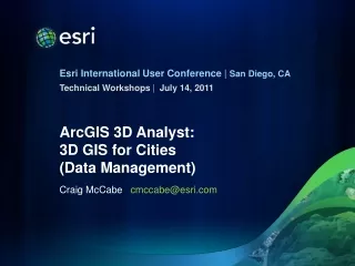
July 14, 2011 ArcGIS 3D Analyst: 3D GIS for Cities(Data Management) Craig McCabe cmccabe@esri.com
Agenda • 3D Virtual City templates • Supported 3D file formats • Creating and texturing multipatch features • Importing / exporting • 3D GIS Resource Center
3D Virtual City Templates http://resources.arcgis.com/content/3dgis/10.0/about
3D Virtual City Template – Philadelphia ArcGlobe 4” Imagery Local + Cloud Data Extruded Textured
3D File Support Import 3D Files (3D Analyst) Supported formats: 3D Studio *.3ds VRML / GeoVRML 2.0 *.wrl SketchUp v6 *.skp Openflight 15.8 *.flt Collada *.dae Output = Multipatch
Extruding Building Footprints Simplest way to create a 3D buildings • Extrude building footprint polygon(s) • Estimate height via oblique imagery • Height attribute in data • Calculate from 1st return LiDAR • Layer to 3D to Feature Class (3D Analyst)
Export > Edit Geometry > Add Texture Export and Edit Multipatch • Multipatch to Colladatool • SketchUp: Import Collada • Edit geometry • Apply textures / colors • SketchUp: Export 3D Model Replace with Model… in ArcGlobe
Resources • 3D GIS Resource Center • http://resources.arcgis.com/content/3dgis/10.0/about • Blog • Forum • Template gallery • Videos • SketchUp 3D Warehouse • http://sketchup.google.com/3dwarehouse/ Multipatch overpass
Questions? Submit Evaluations: www.esri.com/sessionevals