Download
1 / 88
900 likes | 1.11k Views
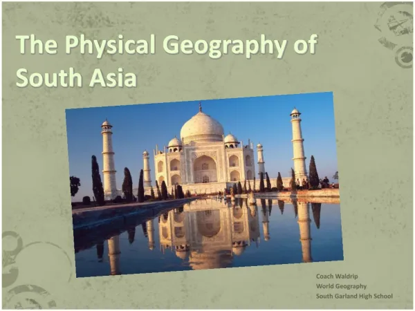
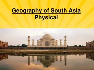
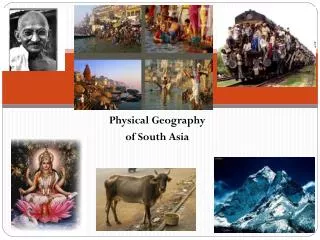
Geography of South Asia. Mr. Kevin Nolen Penncrest High School Media, PA. Plate Tectonics Theory. Gondwanaland. Southern supercontinent. Started to break up 175 million years ago. The Indian Subcontinent. The Indian Subcontinent.

E N D
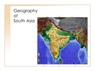
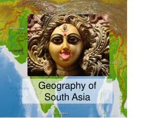
Geography of South Asia Mr. Kevin Nolen Penncrest High School Media, PA
Gondwanaland • Southern supercontinent. • Started to break up 175 million years ago.
The Indian Subcontinent • A part of Gondwanaland broke off and collided with Eurasia. • The Himalayas and Hindu Kush were formed.
The Indian Subcontinent A subcontinent is a large landmass that is smaller than a continent.
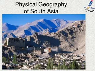
Isolating Factors • Northern Mountains • Hindu Kush • Himalayas • Water • Arabian Sea • Indian Ocean • Bay of Bengal
Regions of Asia Note: Definitions of regions tend to vary a bit.
North Asia is Russia’s Siberia. East Asia includes China and Japan. Southeast Asia includes Vietnam and Indonesia. South Asia includes India and Pakistan. Central Asia includes Kazakhstan and Uzbekistan. Southwest Asia, better known as the Middle East, includes Saudi Arabia and Iraq. Regions of Asia
Northern Asia Central Asia East Asia Southwest Asia South Asia Southeast Asia
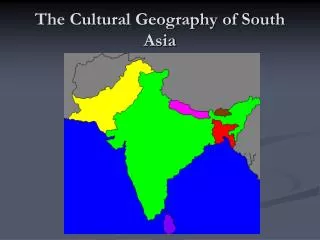
Countries of South Asia • Afghanistan • Pakistan • India • Nepal • Bhutan • Bangladesh • Sri Lanka • Maldives
Major Geographic Regions • Northern Mountains • Northern Plains • Deccan Plateau
Northern Mountains Northern Plains Deccan Plateau
Northern Mountains • Himalayas • Hindu Kush
Himalayas • 1,500 mile long chain of mountains. • Include tallest mountains in the world. • Create a massive wall separating South Asia from East Asia.
Mount Everest • Tallest mountain in the world at 29,000 feet. • First climbed by New Zealander Edmund Hillary and Sherpa Tenzing Norgay from Nepal.
Hindu Kush • Smaller in area than the Himalayas, but almost as high and just as rugged. • Located mostly in Afghanistan. • The word “kush” means “death.”
Khyber Pass • Best known pass through the Hindu Kush. • For centuries, traders and invaders traveled through this pass.
Kashmir • Isolated valley in northern India. • Famous for the production of a fine wool. • Split between India, Pakistan and China.
Indo-Gangetic Plain • Large plain formed by the Indus, Ganges and Brahmaputra Rivers. • Most fertile and densely populated part of South Asia.
Indus River • Largest river of Pakistan. • The word “indus” means “river.” • India’s name comes from this river.
Ganges River • Largest river in India. • Most holy river of Hinduism. • Joins with Brahmaputra to create an enormous delta in Bangladesh.