Comprehensive Spatial Analysis in QGIS: Techniques and Applications
350 likes | 979 Views
Explore vector, geometry, and geoprocessing tools in QGIS for water resource management. Learn to quantify land uses, identify contaminants, and optimize sampling locations.

Comprehensive Spatial Analysis in QGIS: Techniques and Applications
E N D
Presentation Transcript
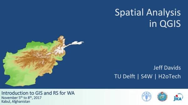
Spatial Analysis in QGIS Jeff Davids TU Delft | S4W | H2oTech
Outline • Spatial Analysis - Vector Data in QGIS • Spatial Analysis - Field Calculator • Questions and Discussion Source: Susan Steele-Dunne, TU Delft CIE5401, Spatial Tools in Water Resources Management
Outline • Spatial Analysis - Vector Data in QGIS • Spatial Analysis - Field Calculator • Questions and Discussion
Vector Data in QGIS - Research Tools • Random water quality sampling • Afghan settlements within Kabul district • Vector grid for print composition • Ideal observation network
Vector Data in QGIS - Geoprocessing Tools Source: Susan Steele-Dunne, TU Delft CIE5401, Spatial Tools in Water Resources Management
Vector Data in QGIS - Geoprocessing Tools Source: Susan Steele-Dunne, TU Delft CIE5401, Spatial Tools in Water Resources Management
Vector Data in QGIS - Geoprocessing Tools Source: Susan Steele-Dunne, TU Delft CIE5401, Spatial Tools in Water Resources Management
Vector Data in QGIS - Geoprocessing Tools Source: Susan Steele-Dunne, TU Delft CIE5401, Spatial Tools in Water Resources Management
Vector Data in QGIS - Geoprocessing Tools Source: Susan Steele-Dunne, TU Delft CIE5401, Spatial Tools in Water Resources Management
Vector Data in QGIS - Geoprocessing Tools Source: Susan Steele-Dunne, TU Delft CIE5401, Spatial Tools in Water Resources Management
Vector Data in QGIS - Geoprocessing Tools • Determine areas of different land uses within different watersheds • Identify groundwater contaminant buffer space • Remember that units are defined by the Coordinate Reference System (CRS) • Clip stream network to watershed of interest • Quantify irrigable land within 5 km of a stream
Vector Data in QGIS - Geometry Tools • Determining sampling locations • Develop network connectivity • Perform precipitation analysis
Vector Data in QGIS - Geometry Tools Source: Susan Steele-Dunne, TU Delft CIE5401, Spatial Tools in Water Resources Management
Vector Data in QGIS - Analysis Tools • Determine number of stream gauges in watersheds • Calculate center of mass of a number of monitoring points
Vector Data in QGIS - Data Management Tools • Add attributes of one feature to another • Modify CRS of different layers • Merge individual vector files into one file
Outline • Spatial Analysis - Vector Data in QGIS • Spatial Analysis - Field Calculator • Questions and Discussion
Vector Data in QGIS - Field Calculator • Used to create new or virtual field in attribute table of feature • Can be based one or more functions • Add area to Afghanistan_Districts
Vector Data in QGIS - Field Calculator • Note that the area is calculated in the units defined by the CRS • In this case, we are using UTM 42N which uses meters • If the area was desired in km2 a new field could be added and the area in m2 could be divided by 106
Plugins • Plus a whole bunch of Plugins! • Take some time to review the options under Plugins > Manage and Install Plugins