Mid-Latitude Cyclones
180 likes | 547 Views
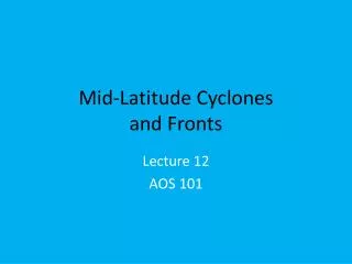
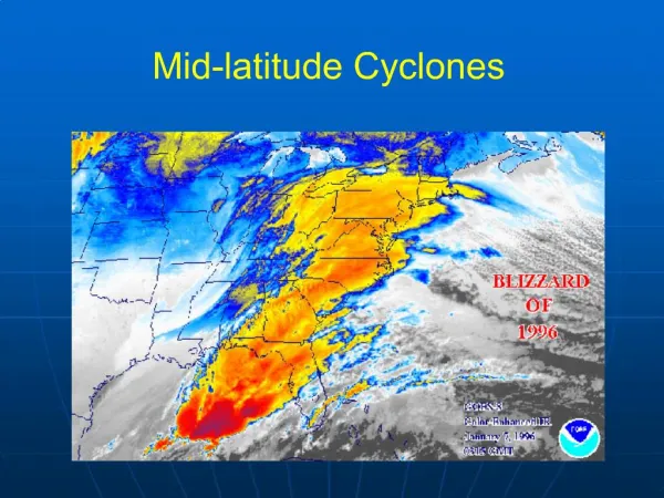
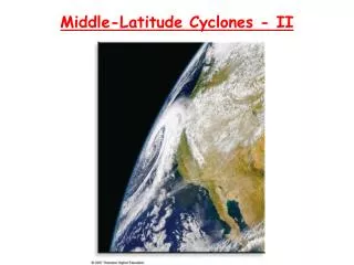
Mid-Latitude Cyclones. Low Pressure storm systems in the mid-latitudes Starts at a Polar Front – the boundary at which cold polar air (cP) meets the warmer air (mT) of the mid-latitudes. Lasts several days as it moves across the USA. Stages of a Wave Cyclone. Stage 1: Stationary Front

Mid-Latitude Cyclones
E N D
Presentation Transcript
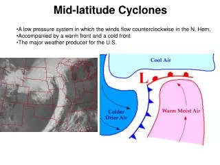
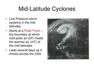
Mid-Latitude Cyclones • Low Pressure storm systems in the mid-latitudes • Starts at a Polar Front – the boundary at which cold polar air (cP) meets the warmer air (mT) of the mid-latitudes. • Lasts several days as it moves across the USA
Stages of a Wave Cyclone Stage 1: Stationary Front Winds move parallel to front and blow in opposite directions High Pressure H cP H mT
Stage 2 Wave Stage -The warm air moves north and the cold air moves south -Creates a warm front and a cold front cP mT
cP L Low pressure forms the cyclone deepens or gets more intense. mT
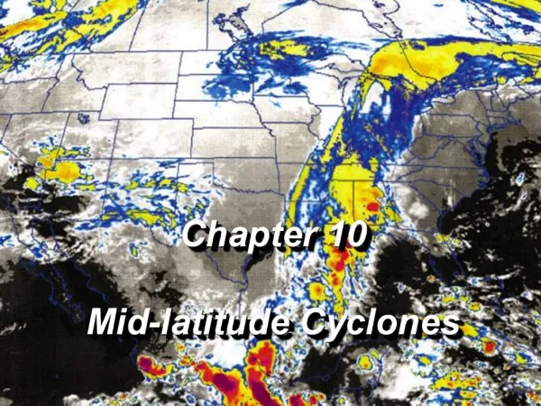
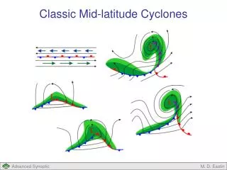
Stage 3 - Maturity. A cloud formation in the shape of a “comma” is characteristic of a well developed wave cyclone. cP L mT
Satellite Image L Dry Slot Comma Cloud Cold Front
Comma Clouds Rising and turning moist air, illustrated in the conveyor belt model, condenses into a large comma-shaped cloud typical of the open wave cyclone. This March 1993 storm wreaked havoc along the East Coast. Figure 13.13
Stage 4 - Occlusion L The cold front overtakes the warm front and lifts the warm air off the ground. cP mT
Stage 5 – Dissipating - Breaks up and forms a stationary front again
4 1 L 3 2 Weather Associated With A Wave Cyclone
4 1 L 3 2 1. Northwest Sector • Usually cold with strong and gusty winds out of the northwest. • Precipitation light to moderate, with heavier precipitation closer to the low. • If cold enough, the snowfall can be significant.
4 1 L 3 2 2. Cold Front • Narrow Band of showers and thunderstorms. • Rapid change in wind direction. • Winds increase in speed out of the W or NW. • Rapid temperature decrease. • Sinking air behind the front often leads to rapidly clearing skies.
4 1 L 3 2 3. Warm Sector • Usually fair and warm. • Later in the day, showers and thunderstorms may develop. • Some thunderstorms may be heavy but most are of the “garden variety” type.
4 1 L 3 2 4. Warm Front • Mostly cloudy and cold. • Precipitation often heavy and occasionally substantial. • Winds often out of the east or northeast (Nor’Easter).