Download
1 / 11
110 likes | 133 Views
This report provides detailed instructions for the office component of the FRPA Soil Conservation Effectiveness evaluation (EE) Pilot Data Forms and Procedure. It covers types of files, use of high-quality aerial photographs, and evaluation of off-site impacts, permanent access structures, on-block effects from harvesting, and more.

E N D
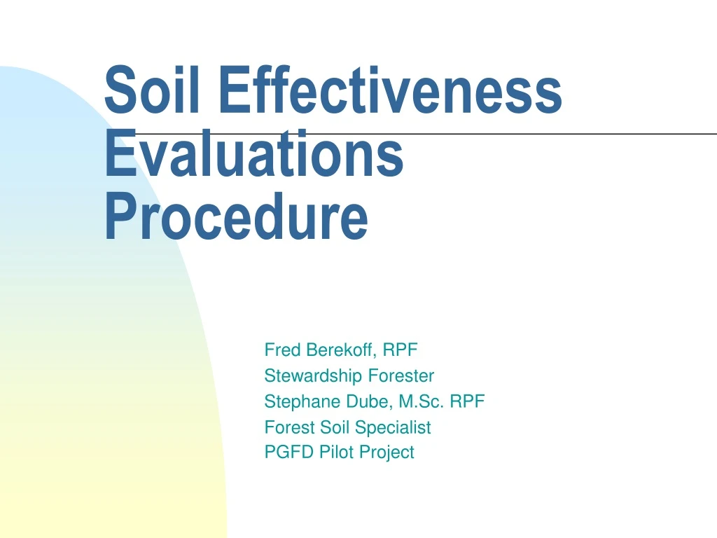
Soil Effectiveness Evaluations Procedure Fred Berekoff, RPF Stewardship Forester Stephane Dube, M.Sc. RPF Forest Soil Specialist PGFD Pilot Project
Introduction • The purpose of this report is to provide detailed instruction for the Office component of the FRPA Soil Conservation Effectiveness evaluation (EE) Pilot Data Forms an Procedure by Curran et al. (2004) • My name is Fred Berekoff. I am a Stewardship Forester with the PGFD. Together with Stephane Dube, Forest Soil Specialist from NIFR, we have furthered the Soils EE procedures to make better use of higher resolution images during the office assessment
Topics of Discussion This report covers : • types of files (e.g., tiff, ecw, and jpeg format) • Use of high quality aerial photographs for overview of site conditions including identification of features of interest, area and distance estimates, and planning of walkthru and survey transects • the following features are being evaluated during the photo review of (1) Off site impacts, (2) Permanent Access Structures (PAS) and rehabilitation, (3) on block effects from harvesting (potential landslides, drainage diversion and soil erosion), (4) Estimating NAR affected by disturbance to natural drainage patterns, (5) Soil Disturbance, (dispersed, inordinate and roadside), and (6) green tree retention
Types of files There are basically three types of files: • Tiff files which are images of the highest resolution, I.e., the most compressed. The problem with Tiffs, is the large size makes them difficult to run on most software. • ECW files-a compressed Tiff file, approximately 1/3 the size of a Tiff. Much easier for most software to run but some info maybe lost with the extra compression • JPEG-Lowest compression, easiest to run on most desktopsoftware. We use ECW mosaics (see next slide) because...
ECW Mosaic • A mosaic of compressed photos is put together eliminating any distortion. • .Ers files contain UTM grid coordinate to georeference features within a block. It allows us to use the imagery. (We do not open .ers files.) • You will need a computer with at least 1000 mg. of RAM, and the program ER viewer Cut block
Offsite Impact of Logging Using ER viewer, click on the “zoom box tool”, and scroll your way around the area adjacent to the cutblock. Look for any offsite impacts such as, as soil erosion, mass wasting, landslides, trespass or any other non-compliance. Use the same tool to study on block for PAS, soil disturbance, landslides, soil erosion, and drainage alterations. Each on-block item will be discussed in detail in this report.
Permanent Access Structures • Use the zoom box tool to zoom in on a landing. Then use “measure tool” to obtain perpendicular dimensions of landing. Determine area of each landing, numbering as you go. • Do the same for roads, bladed trails, gravel pits, and skid trails. Name or number each section as you add. Make entries in Table 1 of 2004 Soils EE Pilot data. • Repeat Step one for rehabilitated areas on Access. Ancillary questions should be answered in the field.
On block areas affected/potentially affect by landslides, drainage diversions or significant erosion from roads, landings, or trails • Delineate and measure on block areas in new failures, outside roads, landings or trails. Same methodology as for PAS. • Delineate areas that could be affected by PAS construction practices or roadcuts to potentially unstable terrain. (eg. Roadcuts through fine-textured soils on slide slopes) • Delineate and measure areas impacted by water diversion (e.g. plugged streams and culverts) • Delineate and measure eroded areas or those at significant risk of erosion. Potential ponding
Soil Disturbance: Dispersed, inordinate, and roadside • From Site Plan Soil Assessment enter hazard ratings for compaction, forest floor displacement, erosion, and mass wasting • Assess and delineate areas of potential inordinate disturbance (IO). Establish transects as shown. An area of IO requires a minimum of 50 points • For dispersed disturbance do a combination of Walkthru and transects. (See next slide). Minimum of 100 points required for transects for dispersed disturbance.
Dispersed Disturbance • Walkthru • Transect
Roadside disturbance • Assess and delineate potential roadside disturbance. Pick a big enough area for 50 plots. Prepare a transect plan. • Do a roadside transect for each Standard Unit