Download
1 / 5
50 likes | 127 Views
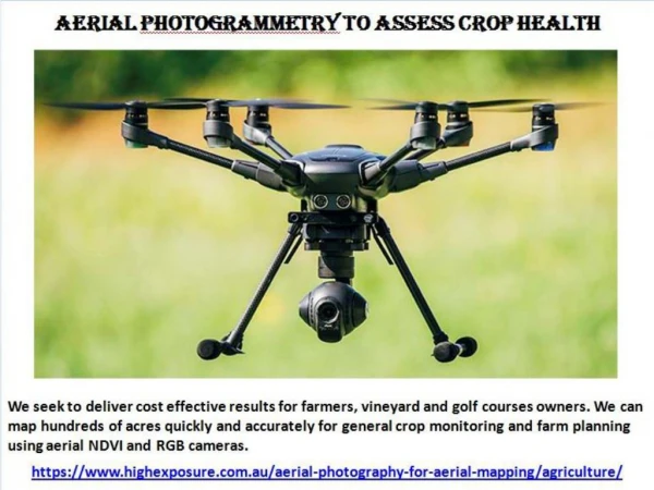
We seek to deliver cost effective results for farmers, vineyard and golf courses owners. We can map hundreds of acres quickly and accurately for general crop monitoring and farm planning using aerial NDVI and RGB cameras. For more details please visit at https://www.highexposure.com.au/aerial-photography-for-aerial-mapping/agriculture/

E N D
Map the area using an Aerial Camera Using photogrammetry software, an area is determined in which an automated flight route is set and the UAV will take several hundred or thousand geo-referenced images. https://www.highexposure.com.au/aerial-photography-for-aerial-mapping/agriculture/
Convert images into a map of the area The geo-referenced images of the area are then uploaded to an online program which uses a super-computer to stitch it all together. The final result provides incredible resolution of the course and also offers a birds eye 3D interactive map view of the area. https://www.highexposure.com.au/aerial-photography-for-aerial-mapping/agriculture/
Analyse Data and Determine Problem Areas once the client has access to the map they can look at the plant health map and easily determine the problem areas by viewing the vegetation index. https://www.highexposure.com.au/aerial-photography-for-aerial-mapping/agriculture/
Action the insights Physically go out to the problem areas and determine what the issue is. Whether it’s over-watering, pests, drainage issues, weeds, wrong chemicals used etc. https://www.highexposure.com.au/aerial-photography-for-aerial-mapping/agriculture/