Download
1 / 43
440 likes | 466 Views
This project aims to understand the relationships between land management and aquatic ecosystems and advance informed decision making on a landscape scale. Explore specific locations using Google Earth and analyze the water quality-land use relationships. This adaptable tool promotes inquiry and active learning.

E N D
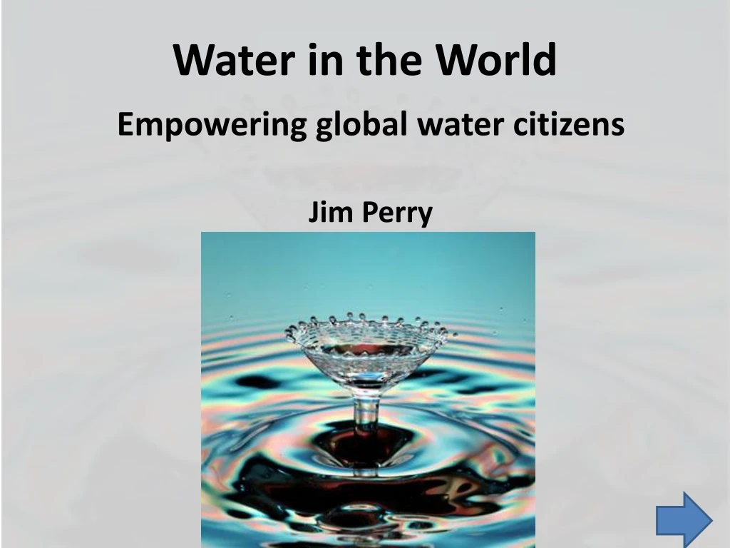
Water in the World Empowering global water citizens Jim Perry
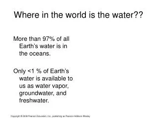
Context • Water quality: an applied ecology approach to understanding the relationships between land management and aquatic ecosystems • The goal: advanceinformed decision making by individuals and institutions at a landscape scale • Operationally: there are aquatic ecosystems in landscapes; as we manage landscapes, that changes the qualities of, or the benefits we receive from the water
Water quality as an ecosystem service • Expressed as beneficial uses • Controlled by the landscape • Represents the end product of water quality management http://www.olympiancares.com/images/water-quality.gif
Our objectives today • Google Earth: locate and explore specific locations • See places at various scales; become familiar with each of 5 sites • Identify attributes at each site • Increasingly quantitative and analytical approach moving through the series • Quantify land cover; express land cover with histograms. Assess water quality-land use relationships from data • Express all as an adaptable, pedagogical tool that uses inquiry and active learning
Methods • Interrupted case • Today we will model that • You get everything on Moodle to take away and adapt as you see fit
Phase I How this works • Set up • Every pair of people needs a computer with Google Earth 5.0 • Each computer has been set up with required options initialized • In your own classrooms, you will not be so lucky • Your students will each need a “field journal” • Move to Google Earth; we’ll visit one location and demonstrate several tools • When we return, we’ll visit our first site
Phase II Victoria Falls • Fly to Zimbabwe, East Africa • Zoom so Scale legend reads about 10 km • In your field journal, describe the landscape • Zoom so Scale legend reads about 1000 m • In your field journal, describe ways animals and people in this landscape are constrained by water
Phase II, cont. • Zoom so the Scale legend reads about 100 m • How does your impression of the landscape differ now? • Fly NW to Victoria Falls • Zoom to about 1500 m • What are the vertical lines? • How is this landscape different? • How would water vary through 100 km from this site, and at this site through 12 months?
Phase III The Pantanal, Corumba, Brazil • Fly to Corumba, Brazil • Zoom to about 10 km • Examine the photos and describe the landscape north of the city
Corumba • Zoom to 1000 m; keep southern edge of the river just on the screen • What can you say about water resources here? How are animals and people constrained by water in this landscape? • Zoom to 250 m • Identify at least 3 benefical uses people derive from the river in Corumba
Pantanal • Zoom out to 5 km • Pan north to the Paraguay River • This is the Pantanal; the world’s largest wetland. What would make this good wildlife habitat? • How would water vary along a 100 km radius from this site, and at this site through 12 months?
Phase IV SE Asia • Fly to Dhaka, Bangladesh • Zoom to 1000 m • Show Ruler and draw a 2 km line • Identify the land covers intersected by that line • Draw six lines: ¼, ½ and ¾ from top and from left edge • Estimate land cover in those 16 cells
Bangladesh • Pan 35 km south to the island • Measure the island as max length and width • What is the white area on the left end? • Zoom to 250 m • What are the dark squares and surrounding white patches?
A monsoonal climate • Zoom to 1500 m • Describe the pattern you see in land cover; interpreting that as land use, discuss why that pattern occurs
Phase V South-central Minnesota • Fly to Iowa Lake, Martin County Minnesota • Zoom to 15 km • Draw a line across the screen, through the middle of Iowa Lake • How wide is the screen image?
Excel: Iowa Lake • Create an Excel spreadsheet with the following columns • Location • Scale • Water • Agriculture • Trees • Developed • Bare soil • Other
Google Earth : Iowa Lake • Create 16 cells (lines @ ¼ and ½, ¾; save to retain the lines) • Estimate % land cover at the following scales and record them in your spreadsheet • 15 km • 5 km • 2 km • 1 km • 500 m • 150 m • It might look like this
Lake Finder: Iowa Lake • Open Minnesota Lake Finder • http://www.dnr.state.mn.us/lakefind/index.html • Get lake data for Iowa Lake • How big is it? • What is the maximum depth? • What is the water clarity?
Lake finder: Iowa Lake • Does Iowa Lake stratify? • Are the algal populations high or low? • What can you infer, based on what you have seen to date, about the effects of land uses on Iowa Lake?
Lake Browser: Iowa Lake • From Lake Finder, Go to Lake clarity by satellite, click on go for Iowa Lake • In the new window, click on Continue on to Lake Browser (Ctl-click may be necessary) • Review and interpret historical water quality of Iowa Lake and Upper Silver Lake
History of Humboldt and Lake Nokomis • Fly to Humboldt Iowa • Zoom to about 3000 m • Click on the clock in the menu bar to see Historical imagery • Compare the landscape around Lake Nokomis in 1990 and 2003 • What changes do you see and what might they mean for water quality?
Green Castle, Jamaica • Fly to Water Valley, Jamaica • Zoom to 2000 m • Position Water Valley about 2 km from the left edge of the screen, with the blue photo box of Robins’ Bay in the upper right corner • Measure the distance to the photo of Robins’ Bay in the NE corner of the image • Measure the distance to Anotto Bay, in the SE corner of the image
Green Castle watershed • Zoom to 1200 m • Pan so the small reservoir is in the upper left and the Wagwater river is in the lower right • This is the watershed of Green Castle Tropical Study Center • A small stream, the Calabash drains the center of the valley • Spend several minutes becoming familiar with the area
Land cover • Identify and name what you feel to be the predominant land covers in this image • As a class, we will agree on classes to use • Each pair will quantify land use by coloring and counting cells • Enter the data into Excel and create a histogram of land use • Share histograms class-wide
Land cover-finer scale • Zoom to 600 m • Review the landscape • In what ways does it look different at this scale? • Use the second printed image to quantify land cover and develop a second histogram
Going deeper • You have access to 12 data sets from this Jamaican landscape (printed and following these slides) • Those data sets express the relationship between land use and water quality • The resources represented are varied, as are the time frames, methods and uncertainties • They simulate a situation where you are asked to become familiar with a landscape, examine data and draw conclusions
Jamaica land use: what does it mean? • Based on our analyses, your review of the landscape and the data available, develop a 5-page paper addressing the question What beneficial uses of the water are constrained by land use practices in this landscape, and how certain are you of your conclusions?
Exemplary slide Beach use, hrs/wk, last 20 yrs Means of 20 interviews per month Data source My estimate of uncertainty is offered for perspective 60 Certainty 2 1985 2005 1995 Jan Dec
Left & right bank riparian condition by river km; mean of 3 years, optimal =50 45 3.5 Reservoir 0 30 River km
Reef fish capture, kg/yr, last 30 yrs 1400 kg 3 1980 2009
4.5 Stream chemistry River km River km Water chemistry as mean of last 5 years. Stations are every 5 km; all variables normalized to most upstream condition, so first point is always 100%. River km River km
Reef health over last 5 yrs; best is 100 Nine, 50 m transects, perpendicular to shore 100 4.5 Shore 50 m
Calabash river fish over last 5 yrs Electrofishing data; fish diversity in 10 m reach by river Km 7.00 3 1980 2009 2000 20 km Mouth
Wetland ecology over last 30 years Mean of four transects per year 6.00 2 1980 2009
Stream habitat over last 20 yrs Mean of three Habitat Measures per year, per site; 50 is optimal 4.5 1995 2005 1985 20 km River km Mouth
Reef sedimentation rates over 25 yrs Mean of 100 measures per site per year, as % of reef covered. Transects run downstream from the Wagwater River. 1995 3 2005 1990 2000 2009 0 (Wagwater) 5 km
Calabash river invertebrate diversity over 30 yrs Benthic diversity in 1 m2 plots by river KM 7.00 5 2009 1990 1980 2000 20 River km 0
Marine chemistry over last 10 yrs 2 year intervals; monthly grab samples 10 m off the center of the beach 4 2008 1998 1998 2008 1998 2008 1998 2008
Stream discharge, cms, last 5 yrs Mean of 5 years, bi weekly samples 4.5 5 1 Dec 1 Jan
Reservoir chemistry over last 5 yrs 5-yr mean of monthly grab samples from the dam Turbidity 4.5 DO Nitrate Ortho P Jan Dec
Fishing pressure, hrs/mo over 20 yrs Means of 20 interviews per month 90 1.5 1985 1995 2005 Jan Dec
Fishing success, kg/10 hrs, over last 20 yrs Means of 20 interviews per month 120 1 1985 1995 2005 Jan Dec
So, we have arrived: what does it mean? • What would make this exercise (more) useful to your students? • What aspects are most and least actionable, and how does that depend on grade level?