Download
1 / 24
240 likes | 381 Views
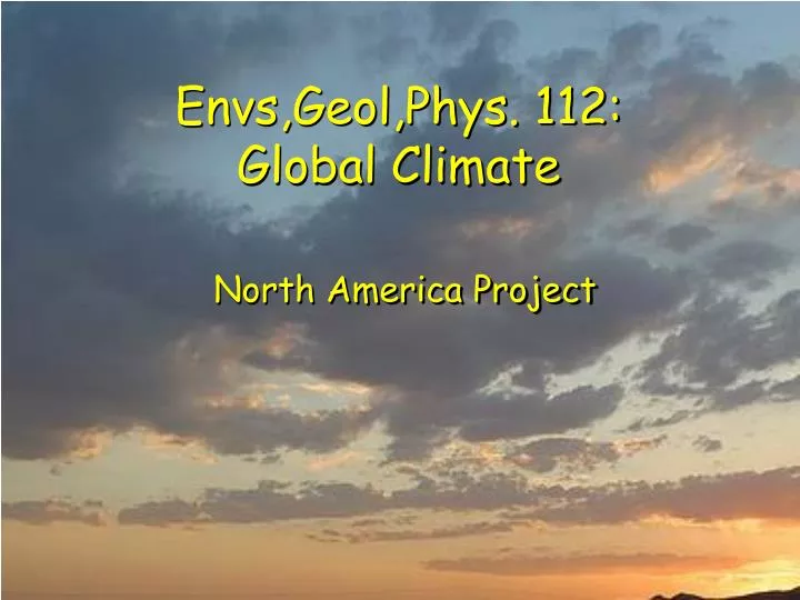
Envs,Geol,Phys. 112: Global Climate. North America Project. Purpose & Goals. Practice the “commitment to data” required for progress in science Become familiar with on-line data Create a data base for a particular city for spring of 2010 (and compare to normals )

E N D
Envs,Geol,Phys. 112: Global Climate North America Project
Purpose & Goals • Practice the “commitment to data” required for progress in science • Become familiar with on-line data • Create a data base for a particular city for spring of 2010 (and compare to normals) • Gain understanding of atmospheric processes through analysis and interpretation of meteorological data and maps • Gain understanding of weather forecasting and critical ability in judging forecasts
Requirements • Download data daily from 1/29 to 4/21 • Enter data into spreadsheet provided (keep it on the T drive & a copy on P!!) • Each Friday, contribute to discussion • Preparation: • Print out three plots for your city on THURSDAY!!! • Compare your plots of temp, pressure, humidity, etc., to the weather maps and note air masses, fronts, storms, etc. • Make interpretive notes on plots • Check local newspapers on line for weather stories • In Class • Participate in discussion, lead one discussion during term • Write a summary of the spring for your city & hand in with binder of plots on April 26, 2010
Downloading Data • Go to weather.gov • Click on Observations: Surface Weather Find state For Canadian cities click here!
Download Data • Print or save the data each 24 hours • download twice each 24 hours to overlap! Weather Station Call Letters Coordinates & Elevation: 39°49’ 58”N, 104º 39’ 27” W 1640m above MSL
Download Data • Print or save the data each 24 hours • download twice each 24 hours to overlap! The data! Date & Time of last datum (EST and UTC)
The Data • 24-hours on line • Oldest at bottom • Newest at top • Time in EST (UTC) • Temp. in F (C) • Dew Point F (C) • a temperature • Pressure in inHg (hPa) (1 hectoPascal = 10 Pa) • Wind Dir & Speed Time
Spreadsheets T:\Global Climate\Cities Weather & Direction codes Data: You type in white columns, colored columns calaculated Plots (3): Made as you type
Spreadsheets T:\Global Climate\Cities Week begins on Thursday at midnight, EST One tab for Each week (Midnight Thursday to Midnight Thursday)
Spreadsheets T:\Global Climate\Cities Eastern Standard Time Local Time weather.gov uses EST
Spreadsheets T:\Global Climate\Cities Thursday Each day is a different color Friday
Spreadsheets T:\Global Climate\Cities Temperature Dew Point Pressure Wind Speed Wind Direction Weather Code You fill in WHITE COLUMNS
Spreadsheets T:\Global Climate\Cities You fill in WHITE COLUMNS Don't touch colored columns!!
Climatology • First Tab • Incident Sunlight • Due to latitude • Climate Normals • 30-year averages • Std. Deviations
Climatology Tab • Fill in white spaces • Latitude, Longitude, Elevation from weather.gov
Climatology Tab • Fill in white spaces • Normals from World Climate • Standard deviations from “Temperature PDF”
Normals • On “Links” page on class website • Find your state & station Station Number
Plots • Three made automatically • Temperature, Pressure & Wind Speed • Wind speed, Wind Direction & Weather • Relative humidity and Weather • Must be printed out BEFORE Friday class • CHANGE HEADERS ON ALL PLOTS These need to be about YOU
Changing Plot Headers • Click on plot, select “Print Preview” Frame indicates plot is selected
Changing Plot Headers • Click on “Page Setup” then “Header/Footer”
Changing Plot Headers • Click on “Custom Header …” Do this every week! Your City You
Printing Plots • Click on Plot, select on “Print” Do this every week! Frame indicates plot is selected
Printing Plots • Click on Plot, select on “Print” Lab_Physics_232 (this room) Lab_Physics_231 (next door) Lab_Physics_204 (across hall)
Homework • Read The Children’s Blizzard • Introduction • Chapter 1: Departures & Arrivals • Chapter 2: Trials • For Monday • Create a Power Point for your city • 3 -5 slides • location, geography, fun facts • to be presented next Friday