Download
1 / 61
660 likes | 1.23k Views
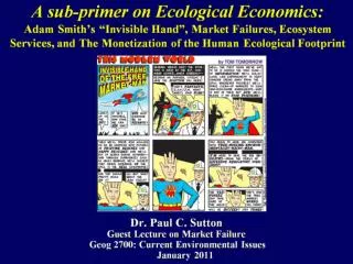
A sub-primer on Ecological Economics: Adam Smith’s “Invisible Hand”, Market Failures, Ecosystem Services, and The Monetization of the Human Ecological Footprint. Don’t get me wrong about Adam Smith. I believe modern Neo-Classical Economists have mis-interpreted him .

E N D
A sub-primer on Ecological Economics:Adam Smith’s “Invisible Hand”, Market Failures, Ecosystem Services, and The Monetization of the Human Ecological Footprint
Don’t get me wrong about Adam Smith.I believe modern Neo-Classical Economists have mis-interpreted him
The Earth from Space at Night:Explorations of the Human-Environment-Sustainability Problematic using Nighttime Satellite imagery
Nighttime Satellite ImageryGeo-location, Time Series Analysis, Spectral information, and Spatial Patterns allow for the differentiation ofCity Lights, Gas Flares, Squid Fishing, and Forest Fires
Estimation of urban populations globallyHow Good are the ‘known’ numbers and who cares?When did the world population reach 6 billion?
Using these Methods across the Globe:What was the total global population was in 1996?6.3 Billion rather than 5.9 Billion
Disaggregate or ‘Intra-Urban’ estimates of Population Density
Does Light Intensity within an urban area correlate with Population Density?
What’s Going on in 1 km2?(this lesson on ‘scale’ informs the Space Station Photography movie later)
Do Low Light Levels Map ‘Exurban Areas’?Metro Denver Area with inset of Highway 285 Commuter Shed South West of Denver
Making Disaggregate (a.k.a. finer spatial resolution)Maps of Economic Activity
Scatterplot of Night Light Energy & PPP of GDP for 208 nations
Global map of Economic Activity as measured by Nighttime Satellite Image Proxy
Coastal Wetlands and Storm Protection:A spatially explicit estimate of ecosystem service value
Valuation of Ecosystem Services:Putting a dollar value on a ‘non-market’ service
‘Geography’ or ‘Why Space Matters?’:Spatially Explicit Valuation of Ecosystem Services
The Data Story for Valuation of Storm Protection from Coastal Wetlands…
Buffer Existing Storms to 100 km (50 km per side) and Match to Damage Table (N=34)
ln (TDi /GDPi)= a + b1 ln(gi) + b2 ln(wi) + uiTDi = total damages from storm i (in constant 2004 $US);GDPi = Gross Domestic Product in the swath of storm i (in constant 2004 $US). The swath was considered to be 100 km wide by 100 km inland.gi = maximum wind speed of storm i (in m/sec)wi = area of herbaceous wetlands in the storm swath (in ha). ui = error
Mapping Impervious Surface Area with Nighttime Satellite Imagery
We have paved over 110,000 square miles(Ohio is about 116,000 square miles)
Paving the Planet: Mapping and Monetizing Human Impact on the Earth
Global Estimates of ISA have been developed using simple OLS models derived from DMSP nighttime imagery and LandScan Population Density