Download
1 / 11
110 likes | 257 Views
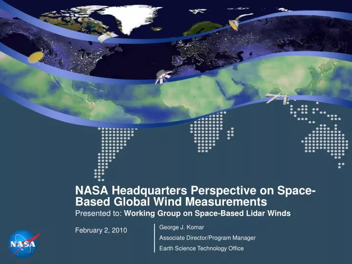
NASA Headquarters Perspective on Space-Based Global Wind Measurements Presented to: Working Group on Space-Based Lidar Winds February 2, 2010. George J. Komar Associate Director/Program Manager Earth Science Technology Office. Global Winds Measurements in the Decadal Survey

E N D
NASA Headquarters Perspective on Space-Based Global Wind Measurements Presented to: Working Group on Space-Based Lidar Winds February 2, 2010 George J. Komar Associate Director/Program Manager Earth Science Technology Office
Global Winds Measurements in the Decadal Survey Currently a Tier 3 mission Subject to overall budget pressures in Earth Science Substantial risk-reducing investment in progress Technology Investments Early investments in wind measurements and lasers Current investments in the Decadal Survey era Next Steps A wide range of new investment opportunities Topics
FY11 ESD Budget • $1.8 billion over 4-years (FY 2011-14) • Re-flies the Orbiting Carbon Observatory, which is critical to our understanding of the Earth’s carbon cycle and its effect on climate change • Accelerates the development of new satellites to enhance observations of the climate and other Earth systems • Expands and accelerates Venture-class competitive PI-led missions • Enhances climate change modeling capabilities to enhance forecasts of regional and other effects • Operates 15 Earth-observing spacecraft in orbit and launches Glory, NPP, and Aquarius • Proceeds toward completion and launch of remaining foundational missions: LDCM (6/13) and GPM (7/13).
NASA Earth Science Decadal Survey Missions Climate Absolute Radiance and Refractivity Observatory (CLARREO) Hyperspectral Infrared Imager (HYSPIRI) LIDAR Surface Topography (LIST) Precipitation and All-Weather Temperature and Humidity (PATH) Active Sensing of CO2 Emissions (ASCENDS) Soil Moisture Active Passive (SMAP) Gravity Recovery and Climate Experiment - II (GRACE - II) Surface Water and Ocean Topography (SWOT) Ice, Cloud,and land Elevation Satellite II (ICESat-II) Snow and Cold Land Processes (SCLP) Geostationary Coastal and Air Pollution Events (GEO-CAPE) Three-Dimensional Winds from Space Lidar (3D-Winds) Deformation, Ecosystem Structure and Dynamics of Ice (DESDynI) Aerosol - Cloud - Ecosystems (ACE) Global Atmospheric Composition Mission (GACM) Lasers Radars Passive Optics Passive Microwave Tier III Tier II Tier I
A Strong Record of Technology Investment for Wind Measurements • Coherent Detection: • Demonstration of a hardened diode-pumped 2-µm laser (Kavaya/LaRC - IIP04) • Lab build and demonstration of integrated heterodyne photoreceiver (Amzajerdian/LaRC - LRRP) • Integrated lidar photo receiver and sensor development (Abedin/LaRC - LRRP) • Development of an advanced optical heterodyne receiver (Mansour/JPL - ATI 99) • Laser diode characterization and lifetime demonstration (Amzajerdian/LaRC – LRRP) • Airborne demo of autonomous coherent-detection, pulsed, 2-micron, Doppler wind lidar system (Kavaya/LaRC-IIP07) • Direct Detection: • Control and monitoring of laser thermal systems (Butler/GSFC - LRRP), • Narrow band, single mode, single frequency UV laser and space qualified etalon assembly for O3 measurement (Gentry/GSFC -IIP04, ACT05) • Developed a high-power single frequency UV laser transmitter (Austin, Lite Cycles – SBIR Phase III 06) • Airborne testing of Optical Autocovariance Wind Lidar transceiver (Grund/Ball Aerospace & Technologies Corp.-IIP07)
…and Investments in Lasers Some Highlights: Technologies for a Combined HSRL and O3 DIAL (ACE Mission)- Hostetler, NASA LaRC CO2 Laser Sounder for the ASCENDS Mission- Abshire, NASA GSFC DAWN: Doppler Aerosol WiNd Lidar (3D-Winds Mission)- Kavaya, NASA LaRC Efficient Swath Mapping Laser Altimetry (LIST Mission)- Yu, NASA GSFC
Current ESTO Investments: Enabling the Decadal Survey Instrument Technology Investments (Instrument Incubator Program Solicitation) Information Systems Technology Investments with Direct Applicability (2008 Advanced Information System Technologies Program Solicitation) Instrument Investments that include planned airborne testing (2007 Instrument Incubator Program Solicitation) Information Systems Technology Investments with Secondary Applicability (2008 Advanced Information System Technologies Program Solicitation) Component Technology Investments(2008 Advanced Component Technologies Program Solicitation) (Note that individual Component and Information Systems Technologies often apply to more than one mission. )
New Investments: Enabling 3D-Winds Development and Demonstration of an Optical Autocovariance Direct Detection Wind Lidar- Christian Grund, Ball Aerospace Airborne Demonstration of an Autonomous Operation Coherent Doppler Lidar - Michael Kavaya, LaRC GNSS Beamforming RF Processor- Tom Meehan, JPL Hybrid Doppler Wind Lidar (HDWL) Tranceiver - Cathy Marx, GSFC Ultra-Sensitive Near-Infrared Optical Receiver- Michael Krainak, GSFC A Low, Cost, Lightweight, Optically Fast Corrugated Mirror Telescope Array for Lidar and Passive ES - Michael Dobbs, ITT Detector Development for Cloud-Aerosol Transport Lidar - Matthew McGill, GSFC Moving Objects Database Technology for Weather Event Analysis and Tracking - Markus Schneider, University of Florida Design and Evaluation of Sensor Web Modeling and Data Assimilation System Architectures- Mike Seablom, GSFC Instruments Components Information Systems – Primary Applicability Information Systems – Secondary Applicability
Stimulus-Funded Technology Development Global Hawk Instruments UAVSAR The Uninhabited Aerial Vehicle – Synthetic Aperture Radar (UAVSAR) project will install two existing UAVSAR pods on a UAV for the first time. On Global Hawk, UAVSAR will generate precise topographic maps and single-pass polarimetric interferograms of ice and vegetation. Global Ozone Lidar Demonstrator (GOLD) GOLD will enable, for the first time, Ozone LIDAR measurements from a high-altitude aircraft that support global atmospheric composition and climate change investigations. Land, Vegetation, & Ice Sensor (LVIS) $1.6M This task will Integrate the LVIS capability onto the Global Hawk and provide an automated, reliable package for high altitude measurements. $1.5M $4.4M Earth Science Technology Office (ESTO)
Airborne Instrument Technology Transition (AITT) Solicitation: airborne experiments, in process of selection. Earth Venture-1 (EV-1) Solicitation: the first series of Venture Class proposals, in process of selection. Instrument Incubator Program (IIP) Solicitation: will be published in mid-February 2010. Earth Venture-2 (EV-2) Solicitation: will be released in FY2011 Numerous R&A opportunities for demonstrations and flight campaigns Toward New Investments