Download
1 / 9
90 likes | 176 Views
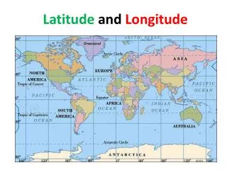
Learn how latitude and longitude work, understand the global grid system, and practice mapping skills. Discover how to locate positions using the star Polaris, Prime Meridian, and Equator. Improve your directional knowledge and mapping accuracy.

E N D
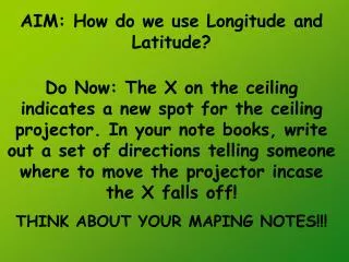
AIM: How do we use Longitude and Latitude? Do Now: The X on the ceiling indicates a new spot for the ceiling projector. In your note books, write out a set of directions telling someone where to move the projector incase the X falls off! THINK ABOUT YOUR MAPING NOTES!!!
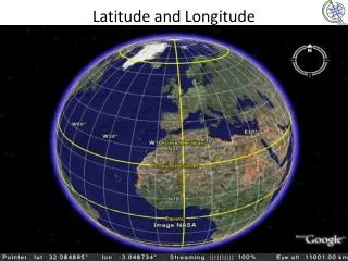
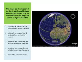
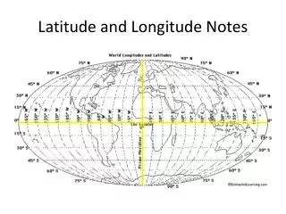
Latitude *Latitude equals the star Polaris’ altitude* - give positions North and South of the EQUATOR. • They are parallel. • range from 90o N to 90o Sfrom the Equator
Longitude - give positions East and West of the PRIME MERIDIAN. • They connect at the poles • range from 1800E-1800Wfrom the Prime Meridian The Prime Meridian runs through Greenwich, England
These two systems of lines creates an imaginary grid that covers the entire planet. Coordinates are always written with the latitude first and then the longitude. Latitude, Longitude
39o 30’ 40o 30’ 41o 30’ 42o I. Scaling of Latitude and Longitude • Each line is called a degree (o) • Each degree is broken up into 60 minutes ( ), - 30 minutes marks the half way point. Take out ESRT page 3
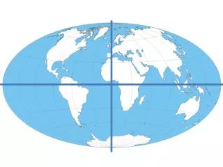
When working with a world map, what two lines should use to orient ourselves? 0o Prime Meridian 0o Equator
How do we know the compass directions (N,S,E,W) for this map of New York?
00 Prime Meridian 00 Equator New York state locations are always North of the equatorand always West of the prime meridian.
With the person sitting next to you complete the What is Latitude and Longitude? worksheets at your desk. Whatever you do not complete is Homework.