Download
1 / 58
640 likes | 847 Views
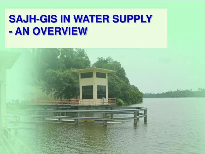
SAJH-GIS IN WATER SUPPLY - AN OVERVIEW. INTRODUCTION. This system is to store digital water assets data in a master database. To support our company to develop, complete and manage GIS in water utility management. GIS data accuracy refer to JUPeM with sub- meter tolerence (Primary Data)

E N D
INTRODUCTION • This system is to store digital water assets data in a master database. • To support our company to develop, complete and manage GIS in water utility management. • GIS data accuracy refer to JUPeM with sub- meter tolerence (Primary Data) Secondary Data - As-Built Drawing submitted with at least 4 points local reference coordinates. • Users; - Management Level, Operation Department, Operation Executives. • References; - JUPeM Digital Data (Cadastral & Topography), Google Earth, Road map.
BUSINESS TRANSFORMATION JANUARY 1989 BEFORE 1989 FEBRUARY 1994 MARCH 2000 2003 2007 MARCH 2009 SPAN MIGRATION MARCH 2011
BALANCE SCORE CARD 1. Company Balance Score Card was implemented in SAJH since 1999. The aim is to assist Management Team to set target and to monitor top-down measurable performance effectively. BSC belongs to every individual staff. Besides that, QM thru ISO standard was put in place. BSC clusters;- Financial – Company and dept budget Customer – dealing with 960,000 active customer billing accounts Internal Business Process – here lies the Integrated GIS performance monitoring. We measure Current Water Asset management; includes new land parcel /lot, new pipe laid, and tagging customers to GIS with DMZ boundary demarcation. Learning & Growth – is about related training and applications for Operations and Hydraulic modeling 2. IGIS – stands for INTERGRATED GEOGRAPHICAL INFORMATION SYSTEM. Launched by Chief Minister of Johore early 2008 to strengthen water supply management distribution effectiveness in the state. 3. HYDRAULIC NETWORK MODELLING – building model from GIS data verification, detailing, calibration model field test to simulate site operational thru model.
Proposal in Monitoring SAJH Strategy Water Catchment Areas Using Unmanned Aerial Vehicle Technology (UAV) for State Government
AN OVERVIEW SAJH-GISMilestones: 2001 – 2003 (Phase 1 – Pilot MBJB area) 2003 – 2005 (Phase 2 – Johor State) 2005 – 2007 (Integration to other systems) 2008 – Launching IGIS 2009 – Embarks tagging customers to GIS 2006 to 2009 - Hydraulic model dev 2009 – MWA WATER Inno Awards 2009 2010 - GIS retagging customer meter BIS & DMZ 2011 - Integration with NRW MS
DEVELOPMENT TEAM GIS Team – the coordination of many disciplines and technical background * Coordination Meeting every month. Data merger and post every 3 months
INFORMATION TECHNOLOGY DEPT. • As an advisor on upgrading, modification, or enhancement of customize application on system or database • Full support on maintenance of software and hardware • Manage on collection and merging all remote sites database to master databases • Manage on creation and distribution of database to remote sites (Control Rooms and FIS Centers)
CONTROL ROOMS (Remote Sites) • Digitizing and updating water assets data for related areas (districts) • Updates water assets ID for related areas (districts) • Manage data transfer for merging process to master database
NETWORK DEPT. (HQ) • Prepare the information of water assets (new or changes) • Verification on site and updates information of pipes and valves • Updates ID asset list water assets (reservoirs, wtp, pump house etc.)
Service/Balancing Tank Balancing/Storage Tank Trunk Main Suction/Storage Tank Reticulation BPH Trunk Main Distribution Suction Main WTP BPH Storage Tank Storage/Balancing Tank BPH Raw Water Main Suction Main Clear Water Tank Distribution DMZ Meter Reticulation Reticulation DMZ Meter Definition of Reservoir & Pipes in SAJH WSS Water Supply System
DATA SOURCES • JUPeM Cadastral / Topography Data • Info from Network Dept. & Ctrl Rooms • Road map • As-Built Drawings • . (New Housing Scheme, New Project, Asset Replacement) • FIS (Field Information System) • GPS Data (By Contractors & Leica GS20)
DATA CONVERSION • *.shp translator • *.dxf translator • Digitizing from raster images • Digitizing on screen (information from hardcopy/Network person)
AS-BUILT DRAWING Reference Coordinates
Geo Referencing Aerial Imagery - Base map creation from UAV high resolution aerial image
CUSTOMIZATIONS APPLICATIONS FOR GIS-CORE • Burst/Network Analysis – Closed Valve • Customer Connector • Spatial Data Translator • Excel Access (Excel Writer (Export to Excel) and Excel Reader (Import Update)) • Job Management System • DMZ Tracer • Asset Management Reporter • Generic Bulk Update Tool • Annotation Tidier • Supply Point Modifier Dialog • DMZ Conflict Inspector on correct tag • Supply Point Status Synchronization • Field Round Trip System (mobile GIS + GPS) – limited to 3G coverage • Project Document Management System
Burst location Burst Total BURST SCATTERED WITHIN BATU PAHAT DISTRICT
GIS TAGGING TO BIS & DMZ CUSTOMER SUPPLY POINT WITH DMZ BOUNDARY. TOTAL more than 500,000 nos.
DISTRICT METER ZONES – with customer tagging (green) DMZ GP12 – Taman Universiti F
Overview – IGIS Diagram Project Document Management(PDM) Major / Minor Pipe Burst Common Info PCS Customer Status / Balance / Volume Latest Maintenance / # repair Latest Test / Violation / All tests Latest one month Trend / Latest Result InfoWorks FIS SCADA Radcom Note: JMS – Job Management System; BIS – BIlling Information System; PCS – Production Control System; RMS – Remote Monitoring System; WaQIS – Water Quality Information System
Integrated – Billing Information System DMZ – BW16
REMOTE MONITORING SYSTEM • System to monitor on water level, flow level, pressure level and water quality level (pH, Turbidity and residual chlorine).
Integrated- Production Control System • An asset maintenance information system to monitor booster pumps preventive maintenance PM and repair job, as well as building maintenance and vehicle. • Using TOMMS AM local IT asset management engine • Involved Parent – Child ID setup, and daily updates once job closed.
Integrated- PCS-cont… Window Bound Result
Integrated – Waqis-cont… Window Bound Result
What is NRW? • “Non Revenue Water.”
NRW Definition Non Revenue Water definition is quantity of water production from treatment plant not billed to customer NRW = Total Production – Water billed * A measuring scale for Water Supply company efficiency
NRW FORMULA if P = Production , C = Consumption - P C = % NRW P C P
NRW losses Real losses (kehilangan sebenar) Water lost mainly through burst, leakage, overflow & other physical losses. Apparent losses (kehilangan nyata) Revenue not collected- meters under registering, stopped meters, meters not recording, illegal connections & other commercial losses. Authorised losses (metered & unmetered) (kehilangan yang dibenarkan) Usage by fire fighting, free supply government function.