Download
1 / 11
110 likes | 120 Views
Learn how to work with land remote sensing data in R and Python, including downloading, preprocessing, and analyzing satellite imagery. This webinar is part of NASA's Earthdata Webinar Series.

E N D
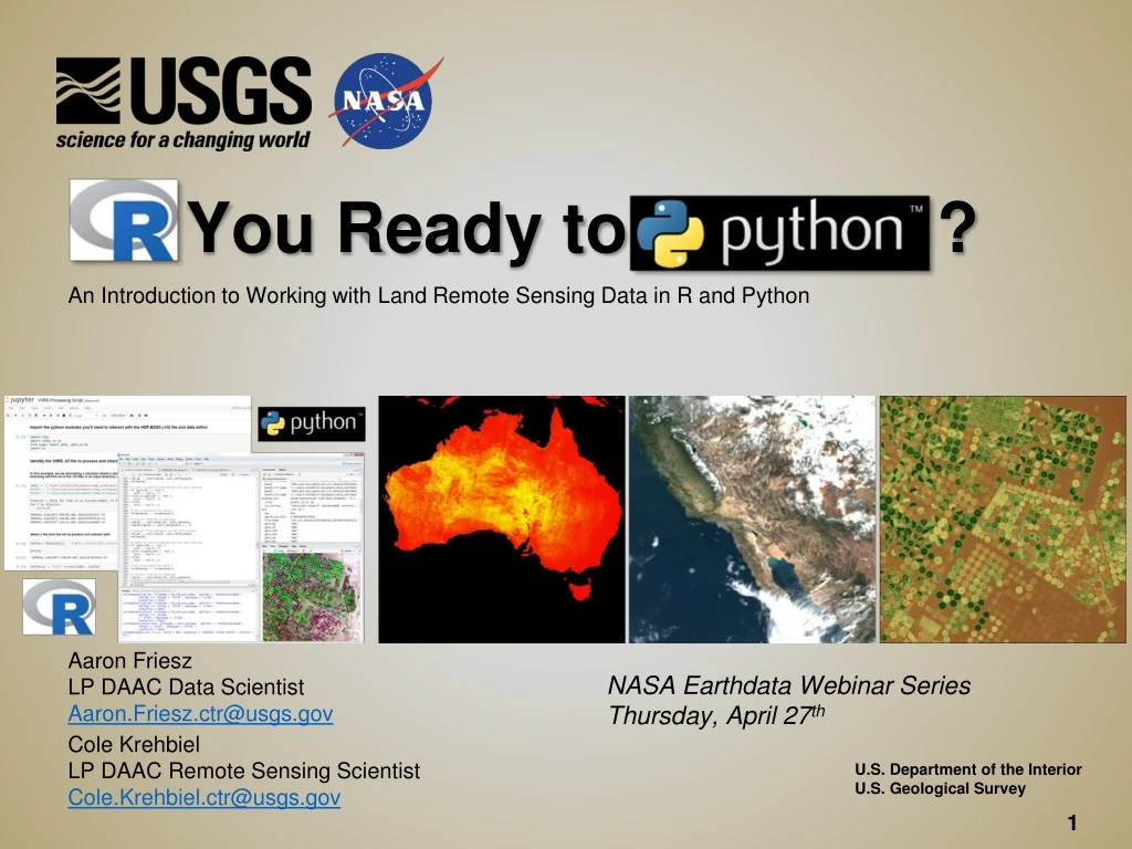
You Ready to ? An Introduction to Working with Land Remote Sensing Data in R and Python Aaron Friesz LP DAAC Data Scientist Aaron.Friesz.ctr@usgs.gov NASA Earthdata Webinar Series Thursday, April 27th Cole Krehbiel LP DAAC Remote Sensing Scientist Cole.Krehbiel.ctr@usgs.gov U.S. Department of the Interior U.S. Geological Survey 1
NASA’s LP DAAC • Land Processes (LP) Distributed Active Archive Center (DAAC) • https://lpdaac.usgs.gov • Located in Sioux Falls, SD at the USGS Earth Resources Observation Science (EROS) Center • 1 of 12 NASA Earth Observing System Data and Information System (EOSDIS) DAACs • Part of NASA’s Earth Science Data Systems Program 2
Distributed Active Archive Centers (DAACs) Alaska Satellite Facility DAAC SAR Products, Sea Ice, Polar Processes, Geophysics Socioeconomic Data and Applications Center Human Interactions, Land Use, Environmental Sustainability, Geospatial Data Goddard Earth Sciences Data and Information Services Center Global Precipitation, Solar Irradiance, Atmospheric Composition and Dynamics, Global Modeling Land Processes DAAC Land Cover, Surface Reflectance, Radiance, Temperature, Topography, Vegetation Indices National Snow and Ice Data Center DAAC Frozen Ground, Glaciers, Ice Sheets, Sea Ice, Snow, Soil Moisture Crustal Dynamics Data Information System Space Geodesy, Solid Earth Ocean Biology DAAC Ocean Biology, Sea Surface Temperature Physical Oceanography DAAC Gravity, Sea Surface Temperature, Ocean Winds, Topography, Circulation & Currents Level 1 and Atmosphere Archive and Distribution System (LAADS) MODIS Level-1 and Atmosphere Data Products LaRC Atmospheric Science Data Center Radiation Budget, Clouds, Aerosols, Tropospheric Chemistry Global Hydrology Resource Center DAAC Hazardous Weather, Lightning, Tropical Cyclones and Storm-induced Hazards Oak Ridge National Laboratory DAAC Biogeochemical Dynamics, Ecological Data, Environmental Processes 3
What does the LP DAAC do? Visible Infrared Imaging Radiometer Suite (VIIRS) 4
Today’s Agenda: • LP DAAC Website: • E-learning and downloading tutorials • ASTER L1T Script Execution Demo (R) • Digital Numbers to TOA Reflectance • VIIRS SR Script Execution Demo (Py) • Reformat and georeference HDF5-EOS files • Working with ASTER L1T in R Interactive Demo • Georeferencing, reading metadata, converting DN to TOA Reflectance, subsetting • Calculating NDVI, generating RGB composites, visualizing/plotting, calculating statistics • Working with VIIRS Surface Reflectance in Python Interactive Demo • Georeferencing, reading metadata, applying scale factor • Generating RGB Composites, Calculating NDVI, visualizing/plotting • MODIS Quality Tutorial (Py) • Accessing quality information for MODIS datasets 5
Why use R and Python? • Efficiency: • Quick, easy-to-use, appealing IDEs (Rstudio, R Notebooks, Spyder, Jupyter Notebooks), reproducible • Automation: • Ability to batch process large number of files vs. ‘point-and-click’ style of remote sensing/GIS software programs • Workflow: • Streamline download, preprocessing/processing, and analysis steps—you can do it all in one place • Freely available: • Both R and Python are freely available and widely used (good documentation) 6
Important Changes to LP DAAC Data Access • To access data on the LP DAAC Data Pool, users will need to sign in using their NASA Earthdata Login credentials • Create an Account: https://urs.earthdata.nasa.gov/ • Authorize LP DAAC Data Pool • More info at: https://lpdaac.usgs.gov/faq-page#t104n1057 7
Live Demos 9 hdf
Questions? • User Services • Voice: 605-594-6116 • Toll Free: 866-573-3222 • E-mail: LPDAAC@usgs.gov • Web: https://lpdaac.usgs.gov/ • Visit our E-Learning Page: • Data visualizations • Data Tutorials • Data Video Tips • Previous LP DAAC Presentations and Webinars • https://lpdaac.usgs.gov/user_resources/e_learning 10


