Download
1 / 1
40 likes | 331 Views
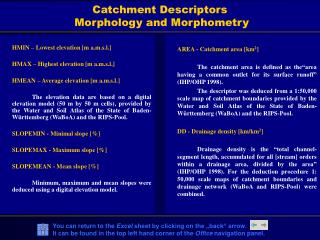
1. Catchment Descriptors Morphology and Morphometry. 3. AREA - Catchment area [km 2 ] The catchment area is defined as the“area having a common outlet for its surface runoff” (IHP/OHP 1998).

E N D
1 Catchment Descriptors Morphology and Morphometry 3 • AREA - Catchment area [km2] • The catchment area is defined as the“area having a common outlet for its surface runoff” (IHP/OHP 1998). • The descriptor was deduced from a 1:50,000 scale map of catchment boundaries provided by the Water and Soil Atlas of the State of Baden-Württemberg (WaBoA) and the RIPS-Pool. • DD - Drainage density [km/km2] • Drainage density is the “total channel- segment length, accumulated for all [stream] orders within a drainage area, divided by the area” (IHP/OHP 1998). For the deduction procedure 1: 50,000 scale maps of catchment boundaries and drainage network (WaBoA and RIPS-Pool) were combined. HMIN – Lowest elevation [m a.m.s.l.] HMAX – Highest elevation [m a.m.s.l.] HMEAN – Average elevation [m a.m.s.l.] The elevation data are based on a digital elevation model (50 m by 50 m cells), provided by the Water and Soil Atlas of the State of Baden-Württemberg (WaBoA) and the RIPS-Pool. SLOPEMIN - Minimal slope [%] SLOPEMAX - Maximum slope [%] SLOPEMEAN - Mean slope [%] Minimum, maximum and mean slopes were deduced using a digital elevation model.