Download
1 / 54
540 likes | 557 Views
This study explores the utility of combining data from lightning detection networks, satellites, and radars for accurate storm nowcasting. The research delves into the identification and tracking of convective storm cells using advanced technology. By analyzing microphysical properties and dynamics from various sources, forecasters can issue timely warnings with confidence. The study highlights the operational output of cell-tracking algorithms and the significance of lightning detection networks in predicting severe weather events. Remote sensing techniques play a pivotal role in understanding storm evolution, severity, and duration. Operational radar outputs and spectral analysis provide key insights into storm development and precipitation characteristics. Dive into the detailed analysis of storm indicators and lightning behavior to enhance forecasting capabilities. The study showcases the interplay of various remote sensing technologies in revolutionizing storm nowcasting methodologies.

E N D
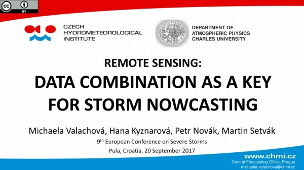
DEPARTMENT OF ATMOSPHERIC PHYSICS CHARLES UNIVERSITY REMOTE SENSING:DATA COMBINATION AS A KEY FOR STORM NOWCASTING Michaela Valachová, Hana Kyznarová, Petr Novák, Martin Setvák 9th European Conference on Severe Storms Pula, Croatia, 20 September 2017 Central Forecasting Office, Prague michaela.valachova@chmi.cz
motivation of this work • data used in this study (source & software) • lightning detection network (CELDN & R) • satellites (EUMETSAT & McIDAS-V, Python) • radars (CHMI & CELLTRACK, R) • ESWD (ESSL & R) • example: severe vs. non-severe storm • summary, acknowledgements outline Suomi-NPP/VIIRS sandwich 2013-06-20 11:05 UTC
convective storms are challenging • where and when will storm evolve ? • how dangerous will it be ? • how long will it last ? • remote sensing is available • information every 5 min • years of experience and data • independent sources Forecaster has the confidence to issue warning in time !!! forecaster’s point of view
electrification, dynamics and microphysics connected → changes visible in all remote sensing data → NOWCASTING possible utilization
microphysical properties and dynamics Polarimetric Doppler radars (upgrade in 2015) • C band (λ ~ 5 cm), 12 elevations • resolution 1×1 km (whole domain) • many useful applications: • CELLTRACK, COTRACK • CELDN strokes • PrecipView, WarnView RADARS
RADARS - celltrack • reflectivity cores tracking algorithm • developed in CHMI (Hana Kyznarová) • For the presented study: • no tracking, just identification of cores • characteristics of cells: • threshold of 44 → 20 dBZ (isolated storms) • parameters: • AREA, VOL, VOL44 • HP, POSH, MESH, VIL Operational output of CELLTRACK (JSMeteoView) Kyznarová H., Novák P. (2009): CELLTRACK – Convective cell tracking algorithm and its use for deriving lifecycle characteristics, Atmospheric Research, vol. 93
CELDN (Central European Lightning Detection Network) • part of EUCLID, operated by Siemens AG • operatively used in CHMI lightning detection
microphysical properties, strength of updraft every stroke: type (CC, CG), time[ms], location, current amplitude estimation[kA] and polarity • detection efficiency: about 90 % or higher for CG • location accuracy: about 1 km for CG • uncertain estimate of current amplitude ~ tens of % • no stroke clustering into flashes lightning detection
microphysical properties and dynamics geostationary: • Meteosat/SEVIRI RSS polar orbiting: • Suomi-NPP/VIIRS • Aqua/MODIS • CloudSat/radar and CALIPSO/lidar, imagers satellites Aqua/MODIS 2013-06-20 12:25 UTC; hail occurrence at 12:26 UTC
reports from ESWD operated by ESSL • quality control: QC0+, QC1, QC2 • time uncertainty up to 15 min • only “positive events” severe weather reports
indicators showing storm development • rapid anvil spread • rapid cooling of the cloud-top • features on the cloud-top • distinctive overshooting top • ice plume • small ice particles • cold-U or cold-ring shape in IR-BT summary - satellites
lifetime and track of radar cell • radar derived parameters: • radar reflectivity, height of the lowest reflectivity • HP, POSH, MESH, VIL summary - radars
pulsation in number of strokes • multimodal histograms • two or more processes, spacing ~ 20 - 50 min • the first OT ~ the first peak in all strokes • severe weather occurrence • abrupt increase of CC/TL as a precursor • amplitude of strokes • non-severe storms mostly low amplitudes (< 15 kA) • the first CG+ amplitude > 20 kA when a significant change inside the storm • CC increase, plume formation, OT more frequent, radar reflectivity increase summary - lightning