Download
1 / 13
130 likes | 147 Views
This project management workshop emphasizes the importance of understanding cave and karst resources, defining project objectives, exploration, survey, inventory, data management, and safety protocols. Experts guide participants on mapping caves, surveying, inventorying geological features, and preventing contamination. Key topics include project planning, exploration, survey techniques, data manipulation, storage, and safety measures in SAR activities. Completion focuses on creating detailed cave maps, reports, and locational data for better resource management.

E N D
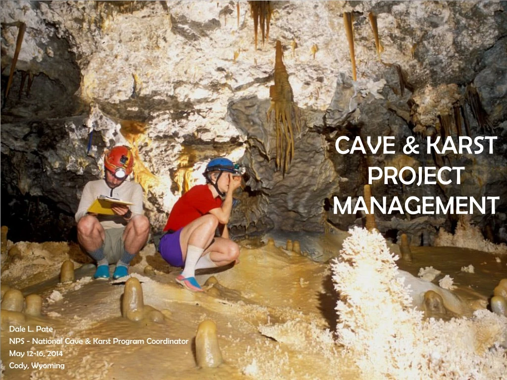
CAVE & KARST PROJECT MANAGEMENT Dale L. Pate NPS - National Cave &Karst Program Coordinator May 12-16, 2014 Cody, Wyoming
Cave & Karst Project Management • Importance of Understanding the Resources • Defining the Project • Caves & Cave Systems • Exploration • Survey • Inventory • Data Manipulation & Storage • Karst Areas or Regions • Safety & SAR Activities
Understanding the Resources • Cave & Karst Resources – Out of sight, out of mind • Where does the cave go? Where does water from this spring come from? What are in these caves? • Are there buildings, oil pipelines, parking lots, sewer lines, and other structures built directly above caves and karst aquifers? • Do we know enough to prevent contamination?
Defining the Project? • Determine Needs & Set Clear Objectives Normally done through the planning process • Develop Standards and Guidelines Need quality data while minimizing impacts • Final Products Cave Maps, GPS Locations, Reports, Files on each cave
Caves & Cave Systems EXPLORATION • Traveling through cave • Floors can be very fragile • Define trails to protect resources • Are there activities that need to be considered
Caves & Cave Systems SURVEY • Need accurate data • Length • Depth • Location • Shape of passages • Floor detail • Cross-sections • Profiles
Caves & Cave Systems Inventory • What is found in the cave and where are they located? • Geologic features • Hydrologic features • Paleontology • Biology • Archeology • Types of Speleothems • A general inventory can set the stage for a more detailed study • Photography is very useful
Cave & Cave Systems Data Manipulation & Storage • A large project generates a significant amount of information • Cave Mapping Software • Originals or copies of all survey sketches, inventories and notes • Fire-proof cabinets • Stay up-to-date
Karst Areas or Regions • Region-wide Studies can have great value • Large areas can contain a number of caves, springs and entire drainage basins • A regional view can pinpoint potential contamination sites and other problems
Karst Areas or Regions • THE BIGGER PICTURE • Document all caves (Surveys, Inventories, etc) • More In-depth Studies (Dye Traces, water chemistry, geomorphology, biological, etc) • Potential contamination sources both inside and outside study area • Use collected data to help understand & mitigate or prevent problems or issues.
Safety & SAR Activities SAFETY FIRST • Be safe, take care of the resources, and then get the job done • Accidents cost lives, money, and time • A rescue can impact sensitive cave resources significantly • Develop Pre-Rescue SAR Plans • Be alert & know what you are doing
Final Products WILL IT EVER BE FINISHED • Complete Cave Maps • Locational Information • Studies and Reports • Files – large amounts of information • A More Complete Understanding • Better Management
Thanks to the photographers Stan Allison Jean Kreja Google Earth Ron Miller Peter Jones Dale Pate Max Wisshak


