Download
1 / 14
201 likes | 447 Views
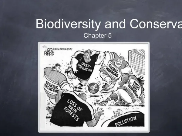
Assessing, Monitoring and Forecasting Biodiversity for Conservation The case of , a Digital Observatory for Protected Areas http://dopa.jrc.ec.europa.eu Contact: gregoire.dubois@jrc.ec.europa.eu. a toy story for GEO-BON?. A L E G O Toolbox for Biodiversity Conservation!.

E N D
Assessing, Monitoring and Forecasting Biodiversity for Conservation The case of , a Digital Observatory for Protected Areas http://dopa.jrc.ec.europa.eu Contact: gregoire.dubois@jrc.ec.europa.eu
a toy story for GEO-BON? A LEGO Toolbox for Biodiversity Conservation! DOPA is based on small independentinteroperable web-based components developed by experts at different institutions Components are reusable for other applications
Web Services for Biodiversity Conservation Delivering the right information with the right tools for the right people Park Managers Public Decision-makers Researchers
is a Partnership of Critical Biodiversity Infrastructures organized around a set of distributed web services to assess, monitor, and forecast biodiversity & ecosystems Ecological monitoring and modeling Red List of Threatened Species World Database of Protected Areas Important Bird Areas & Bird distributions Species Occurrences
Encouraging multi-scale, cross-disciplinary approaches combining in situ data with remote sensing observations
Example 1: eHabitat Ecological forecasting for impact assessment of different environmental scenarios Climate Change • Input maps: • % tree cover • % herbaceous cover • % barren cover • Elevation • NDVI • Aridity index • % water bodies • Slope • OTHERS... Agriculture Biofuels eHabitat CATALOGUES Services, Models, Data Dubois, G., M. Schulz, J. Skøien, L. Bastin, S. Peedell (2013). eHabitat, a multi-purpose Web Processing Service for ecological modeling. Environmental Modelling & Software, 41:123-133.
Example 1: eHabitat Ecological forecasting of bird distributions according to different climate change scenarios IUCN Red List status (Nyon, CH) GBIF Bird occurrences (Copenhagen, DK) Birdlife Int. Bird habitats (Cambridge, UK) UNEP-WCMC Park –Boundaries (Cambridge, UK) EC-JRC Modeling & Remote sensing (Ispra, IT) Skøien, J., M. Schulz, G. Dubois, I. Fisher, M. Balman, I. May, É. Ó Tuama (2013). Climate change in biomes of Important Bird Areas – results from a WPS application. Ecological Informatics, 14:38-43
Example 2: eSpecies Species information system for protected areas • Species list for Protected Areas • Theoretical species presence (IUCN red list + Birdlife) • Species occurrences (GBIF) • Filtering out using logical consistency checks • Species composition • Species irreplaceability indicators… • Logical consistency check for the theoretical distribution of Orangutan • 1km2 grid of global species richness
Ecological anomalies Example 3: eStation Remote sensing for terrestrial monitoring Real time monitoring of NDVI, rainfall, … in protected areas Fire ecology eStation Clerici, M. B. Combal, J.F. Pekel, G. Dubois, J. van't Klooster, J.O. Skøien, E. Bartholomé (2013). The eStation, an Earth Observation processing service in support to ecological monitoring. Ecological Informatics, (18):162-170.
trilogy 1. Assessing protected areas DOPA Explorer: Beta version released Nov. 2013 describing all PAs ≥ 150 km2 (9000 PAs). New version planned for 2014 2. Monitoring and validating assessments DOPA Validator (2014) 3. Predicting & forecasting changes in and outside protected areas DOPA Analyst (2015)
Conclusions (1/2) Strengths Partnerships (improved services and indicators) Much needed global reference information system for biodiversity DOPA is scalable (currently global 1 km grid but can be adapted to local/ regional needs) DOPA is free: reusable web based services and tools are open source
Conclusions (2/2) Challenges Partnerships (chained services & risks with weakest links) IT dependent and possibly heavy (large datasets & many users) Data sharing: unlock your data, you will and improve their quality and reinforce your mandate! Propagation of errors and uncertainties in data and models usually undocumented
http://dopa.jrc.ec.europa.eu Thank You! has been supported by the following projects from the European Commission The institutional funding activities of the Land Resources Management Unit, Institute for Environment Sustainability, Joint Research Centre of the European Commission (2009- ….) BIOPAMA, (http://www.biopama.org/) funded by a European Development Fund (DG DEVCO) (2012-2015) EuroGEOSS (http://www.eurogeoss.eu/) funded by the DG RTD of the European Commission (2009-2012) UncertWEB (http://www.uncertweb.org/) funded by the DG CONNECT of the European Commission (2010-2013) PacsBIO, funded by an EC Budget support programme from DGDEVCO to Biodiversity and Protected Areas in Bolivia (2013-2016) PacsBIO