Download
1 / 40
400 likes | 501 Views
Explore the eight regions of North America, from the Coastal Range to the Interior Lowlands. Learn about the varied landscapes, from the Rocky Mountains to the Canadian Shield, each with unique features and ecosystems. Witness the beauty of the Appalachian Mountains and Coastal Plains, and understand the geographical significance of the Great Plains and Basin and Range. Delve into the history and natural wonders of this vast continent.

E N D
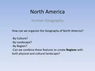
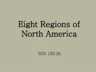
Eight Regions of North America SOL USI.2b
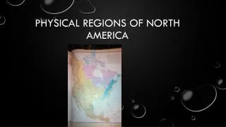
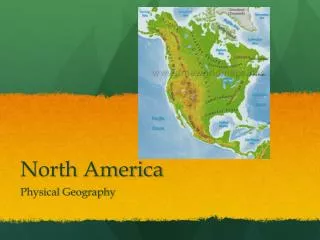
8 Regions of North America • Coastal Range • Basin and Range • Rocky Mountains • Great Plains • Interior Lowlands • Canadian Shield • Appalachian Mountains • Coastal Plains
Coastal Range • West of the Rocky Mountains • Stretches from Canada to California • Made up of Rugged Mountains and Fertile Valleys
Fertile valleys: example-California strawberries, and oranges
Basin and Range • West of the Rocky Mountains • Varying (different) elevations and isolated mountain ranges • Death Valley • Death Valley is the lowest point in North America
Basin and Range Death Valley- lowest point in North America
Continental Divide determines the directional flow of rainfall.
Great Plains • Flatlands that increase in elevation slightly to the west • Known for grasslands
Great Plains
Interior Lowlands • Lowlands of rolling flatlands • Rivers • Broad valleys and • Grassy hills
Interior Lowlands Rivers and broad river valleys
Grassy Hills Interior Lowlands
Canadian Shield • Wraps around the southern portions of the Great Lakes and the Hudson Bay • Hills worn by erosion • Hundreds of glacier carved lakes • Some of the oldest rock formations in North America
Hudson Bay Wraps around the Hudson Bay in a horseshoe shape
Thousands of years ago, during the ICE AGE, Canada and the northern United States was covered by glaciers- large masses of ice.
When the glaciers melted, they left thousands of lakes. These are Trees. Thousands of Lakes Canadian Shield
Some of the oldest rock formations in North America Canadian Shield, rock formations
Appalachian Mountains • Range from Canada to western Alabama • Oldest mountains in North America • Old eroded mountains
Appalachian Mountains Great Smoky Mountains
Coastal Plains • Stretches along the Atlantic Ocean • Broad lowland with excellent harbors • Borders the Gulf of Mexico • Long sandy beaches
Long sandy beaches Plains- large area of flat land Coastal – Next to the ocean