Download
1 / 1
0 likes | 16 Views
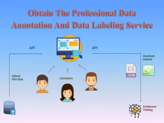
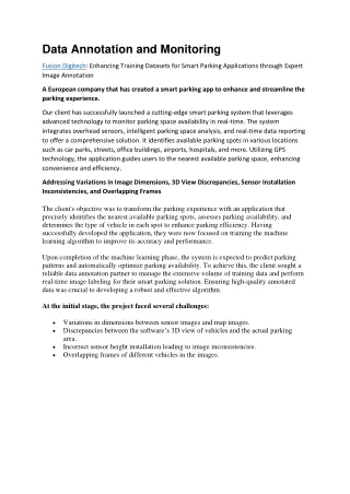
Fusion Digitech: Enhancing Training Datasets for Smart Parking Applications through Expert Image Annotation<br>A European company that has created a smart parking app to enhance and streamline the parking experience.<br>Our client has successfully launched a cutting-edge smart parking system that leverages advanced technology to monitor parking space availability in real-time. The system integrates overhead sensors, intelligent parking space analysis, and real-time data reporting to offer a comprehensive solution. It identifies available parking spots in various locations such as car parks, streets,

E N D
Data Annotation and Monitoring Fusion Digitech: Enhancing Training Datasets for Smart Parking Applications through Expert Image Annotation A European company that has created a smart parking app to enhance and streamline the parking experience. Our client has successfully launched a cutting-edge smart parking system that leverages advanced technology to monitor parking space availability in real-time. The system integrates overhead sensors, intelligent parking space analysis, and real-time data reporting to offer a comprehensive solution. It identifies available parking spots in various locations such as car parks, streets, office buildings, airports, hospitals, and more. Utilizing GPS technology, the application guides users to the nearest available parking space, enhancing convenience and efficiency. Addressing Variations in Image Dimensions, 3D View Discrepancies, Sensor Installation Inconsistencies, and Overlapping Frames The client's objective was to transform the parking experience with an application that precisely identifies the nearest available parking spots, assesses parking availability, and determines the type of vehicle in each spot to enhance parking efficiency. Having successfully developed the application, they were now focused on training the machine learning algorithm to improve its accuracy and performance. Upon completion of the machine learning phase, the system is expected to predict parking patterns and automatically optimize parking availability. To achieve this, the client sought a reliable data annotation partner to manage the extensive volume of training data and perform real-time image labeling for their smart parking solution. Ensuring high-quality annotated data was crucial to developing a robust and effective algorithm. At the initial stage, the project faced several challenges: •Variations in dimensions between sensor images and map images. •Discrepancies between the software’s 3D view of vehicles and the actual parking area. •Incorrect sensor height installation leading to image inconsistencies. •Overlapping frames of different vehicles in the images.