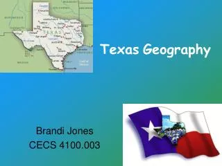
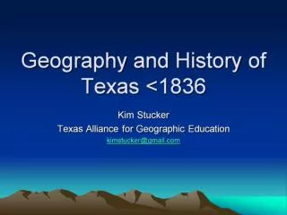
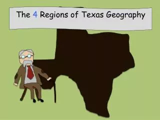
TEXAS GEOGRAPHY
120 likes | 248 Views
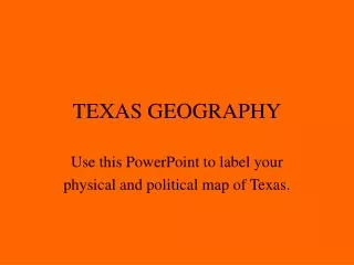
TEXAS GEOGRAPHY. Use this PowerPoint to label your physical and political map of Texas. T E X A S R I V E R S. T E X A S C I T I E S. . Gonzales. . Goliad. This map is to help you place the cities on the rivers. C e a s p c r a o r c p k m e n t.

TEXAS GEOGRAPHY
E N D
Presentation Transcript
TEXAS GEOGRAPHY Use this PowerPoint to label your physical and political map of Texas.
T E X A S R I V E R S
T E X A S C I T I E S .Gonzales .Goliad
This map is to help you place the cities on the rivers.
C e a s p c r a o r c p k m e n t ^^ Guadalupe Mountains Stockton Plateau Glass Mountains Balcones Escarpment Chisos Mountains Galveston Island Matagorda Bay Padre Island
Texas Mountains Guadalupe Mountains-- our highest peak at 8,749 ft. above sea level.
Escarpments A steep slope or long cliff formed by erosion or by vertical movement of the Earth's crust along a fault. Escarpments separate two relatively level areas of land.
Plateaus An elevated, comparatively level expanse of land; a tableland
Llano Estacado is a region in the southwestern United States that encompasses parts of eastern New Mexico and northwestern Texas, including the South Plains and parts of the Texas Panhandle. One of the largest mesas or tablelands on the North American continent,the elevation rises from 3000 ft in the southeast to over 5000 ft in the northwest, sloping almost uniformly at about 10 feet per mile. However, at such a gradual slope, the elevation change is imperceptible to the observer, making the landscape appear almost completely flat.
Aquifers An aquifer is a wet underground layer of water-bearing permeable rock or unconsolidated materials (gravel, sand, or silt) from which groundwater can be usefully extracted using a water well.