Texas Geography
80 likes | 358 Views
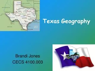
Texas Geography. Brandi Jones CECS 4100.003. What students will learn…. Essential Question : Why should we learn about Texas Geography? Unit Question : How can I identify all the different types of landforms in Texas?.

Texas Geography
E N D
Presentation Transcript
TexasGeography Brandi Jones CECS 4100.003
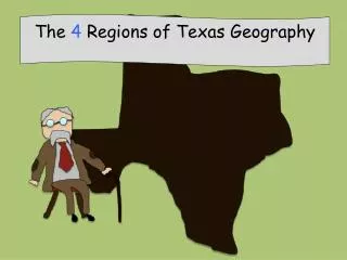
What students will learn… • Essential Question: Why should we learn about Texas Geography? • Unit Question: How can I identify all the different types of landforms in Texas? By the end of this unit, students should be able to identify all major types of landforms in Texas on a map and through pictures.
Teaching Tools • Several activities to learn the major cities of Texas while incorporating map skills. • Observe through pictures and outdoor walks the different types of terrain. • Students will create and name their own state with several major cities and different landforms. • Students will listen to songs about Texas. Beautiful, Beautiful Texas Oh, beautiful, beautiful TexasThe most beautiful state that I know.We're proud of our forefathers,Who fought at the Alamo. You may live on the plains or the mountainsOr down where the sea breezes blow,But, you'll still be in beautiful TexasThe most beautiful state that I know.
TEKS • § 113.4. Social Studies, Grade 2. • (1) In Grade 2, students focus on a study of their local community by examining the impact of significant individuals and events on the history of the community as well as on the state and nation. Students begin to develop the concepts of time and chronology by measuring calendar time by days, weeks, months, and years. The relationship between the physical environment and human activities is introduced as are the concepts of consumers and producers. Students identify functions of government as well as services provided by the local government. Students continue to acquire knowledge of important customs, symbols, and celebrations that represent American beliefs and principles. Students identify the significance of works of art in the local community and explain how technological innovations have changed transportation and communication. Students communicate what they have learned in written, oral, and visual forms. • (5) Geography. The student uses simple geographic tools such as maps, globes, and photographs. The student is expected to: • (A) use symbols, find locations, and determine directions on maps and globes; and • (B) draw maps to show places and routes. • (6) Geography. The student understands the locations and characteristics of places and regions. The student is expected to: • (A) identify major landforms and bodies of water, including continents and oceans, on maps and globes; • (B) locate the community, Texas, the United States, and selected countries on maps and globes; and • (C) compare information from different sources about places and regions.
References • http://www.csun.edu/~hcedu013/plans.html • TEKS • http://www.tea.state.tx.us/rules/tac/chapter113/ch113a.html#113.4