Download
1 / 59
600 likes | 655 Views
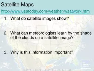
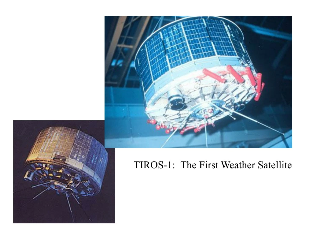
Learn about TIROS-1, GOES weather satellites, Polar Orbit, imagery enhancements, GPS soundings, Cosmic project, and satellite data interpretation tips for cloud patterns, thunderstorms, snowpack, fog, and temperature variations.

E N D
Polar Orbit Earth rotates under satellite. Satellite sees a narrow swath, about 2000 km wide Roughly twice a day coverage
IR Enhancement • Steep Linear Enhancement: Going through a wide range of shades over a limited temperature range • Contouring: Discontinuous change of shading at certain temperatures to indicate specific values • Color enhancement: Using color to highlight certain temperature values.
GPS Sounding • A constellation of GPS satellites orbit the earth. • By measuring the delay in time as the GPS signal is bent by the earth’s atmosphere, one can acquire density information that can be used to create temperature and humidity soundings. • Can do this with fixed receivers on earth or with receivers on satellites--the COSMIC project.
The Golden Rule of Satellite Interpretation It is the relative motions of air parcels with respect to each other that is best related to cloud patterns, NOT the motion WRT the earth that is explicitly shown by the wind field.
Snow Can you see the snow pack? Hint: The clouds move, the snow doesn’t. Snowpack L Valley Fog
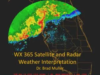
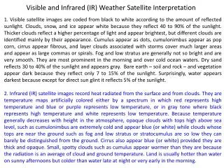
Visible imagery is analyzed in terms of brightness and texture. Deeper, more vertically developed clouds such as these thunderstorms over the mid Atlantic region appear very bright while lower, thinner clouds are grayer. Also note the very lumpy texture to the convective cloud tops vs nearby stratified clouds along the PA/MD border.
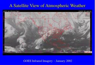
Note the differences in land vs water temperatures in this nighttime IR image. The dark specks are lakes, large rivers and reservoirs. The Great Lakes are also contrasted well against the adjacent cold land mass.
Note sharp, dendritic pattern to this river fog over the MS and lower WI river valleys. Also note the long lived contrails over eastern WI.