Download
1 / 21
210 likes | 213 Views
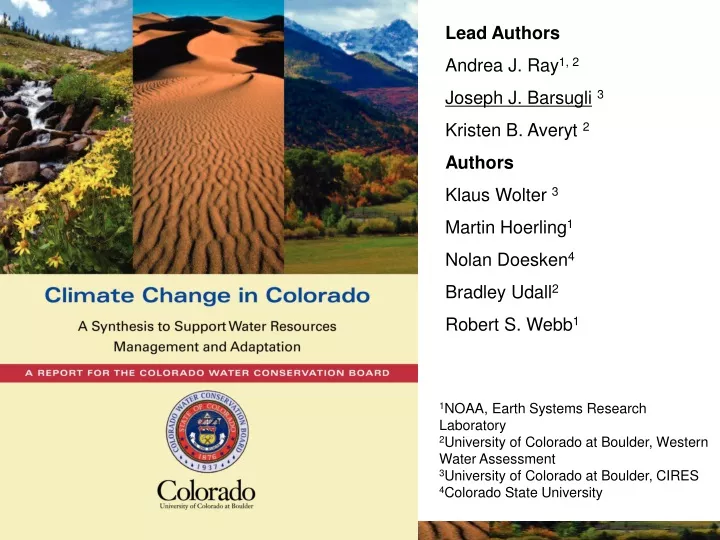
Lead Authors Andrea J. Ray 1, 2 Joseph J. Barsugli 3 Kristen B. Averyt 2 Authors Klaus Wolter 3 Martin Hoerling 1 Nolan Doesken 4 Bradley Udall 2 Robert S. Webb 1. 1 NOAA, Earth Systems Research Laboratory 2 University of Colorado at Boulder, Western Water Assessment

E N D
Lead Authors Andrea J. Ray1, 2 Joseph J. Barsugli3 Kristen B. Averyt 2 Authors Klaus Wolter 3 Martin Hoerling1 Nolan Doesken4 Bradley Udall2 Robert S. Webb1 1NOAA, Earth Systems Research Laboratory 2University of Colorado at Boulder, Western Water Assessment 3University of Colorado at Boulder, CIRES 4Colorado State University
Climate Change in Colorado: Overview State of the science regarding the physical aspects of climate change that are important for evaluating impacts on Colorado’s water resources, and developing adaptation strategies out to the mid-21st century Commissioned by CWCB Supports • Governor Ritter’s Colorado Climate Action Plan • State Water Supply Initiative • Governor’s Conference on Managing Risks of Drought and Climate • Complements several other efforts Audience • Water-related planners, decisionmakers, and policymakers in Colorado Technical Level • More technical than “Citizen’s Guide”, less technical than the IPCC reports • Jargon minimized; glossary; Fahrenheit units; Published figures/data re-plotted for simplicity and to focus on CO • Educate about models and their strengths and weaknesses
Climate Change in Colorado: Process Colorado-focused studies lacking: we had to extract results, re-do graphics, or perform analysis of existing data for Colorado-specific graphics. Involvement by a broad panel -- over 350 comments! Geographic Scope • Colorado • Colorado’s River Basins • Western United States Uncertainty -- “Likelihood” has a specific meaning in climate science • Evaluating the research at the level of saying “X is very likely to happen” requires a lengthier and more involved process than we could accommodate. We quote “likelihood statements” from other assessments where appropriate.
Observations: Temperature 30 year trend 50 year trend 100 year trend Source: CO Climate Report, 2008 Of 27 temperature trends computed : • 19 are increasing • 1 is decreasing • 7 were not significant A trend at a single station is not definitive because of local effects. Look at the big picture!
Observations: Precipitation Source: CO Climate Report, 2008 In all parts of Colorado, no consistent long-term trends in annual precipitation is detected.
Observations: Temperature and Elevation (1979–2006) Temperatures have increased more at high elevations. Warmer Spring temperatures have lead to earlier runoff. Daily Minimum Temperature • However… • Changes in the proportion of precipitation falling as rain rather than snow are small. • No significant widespread change in Colorado’s total snowpack • Temperatures at high elevation remain below freezing in the Winter • Almost no meteorological data from the alpine zone Elevation Source: Diaz and Eischeid, 2007 Source: Diaz and Eischeid, 2007
Attribution: Observed v. Modeled Temperature (1950–2007) Observed Degrees Celsius Attribution of observed temperature changes to greenhouse gas emissions more difficult at smaller spatial scales because climate variability is larger at these scales. Modeled Degrees Celsius Source: CO Climate Report, 2008
Attribution: Observed v. Modeled Temperature (1950–2007) Observed Degrees Celsius Attribution of observed temperature changes to greenhouse gas emissions more difficult at smaller spatial scales because climate variability is larger at these scales. Modeled Degrees Celsius • The accumulation of greenhouse gases in the atmosphere is very likely the cause of most of the increase in global average temperature (IPCC). • In North America, “human-induced warming has likely caused much of the average temperature increase over the past 50 years” (CCSP 3.3). • Climate models show a 1F warming in the West in the last 30 years in response to greenhouse gas emissions. Source: CO Climate Report, 2008
Precipitation and River Flow in the Upper Colorado Basin The paleoclimate record shows longer and more severe droughts than in the historical record. Historical droughts/low flows can be attributed mainly to changes in precipitation Nevertheless, there is an indication that recent warming has increased the severity of drought in the southwest United States. Will future droughts be qualitatively different because of projected warming? Precipitation Lee’s Ferry Natural Flow Source: CO Climate Report, 2008
Projected Temperature & Precipitation Changes in 2050 Annual Annual Annual Winter Winter Winter Summer Summer Summer Temperature Colorado: range +4ºF Annual [2.5-5.5] +3ºF Winter [2-5] +5ºF Summer [3-7] Precipitation Colorado is in a zone of small precipitation changes Model Agreement for Precipitation Colorado is in a region of weak model agreement Source: CO Climate Report, 2008
Projections: Temperature Temperatures (1950–1999) Temperatures (Projected 2050) January July What would the projected changes mean for Colorado’s varied climate? . Source: CO Climate Report, 2008
Projections: Temperature Temperatures (1950–1999) Temperatures (Projected 2050) January July What would the projected changes mean for Colorado’s varied climate? Winter temperatures shift northward on the plains Temperatures creep upwards in the mountains in all seasons Summer temperatures shift westward on the plains bringing the temperatures of the Kansas border to the Front Range. Source: CO Climate Report, 2008
Projections: Temperature & Precipitation Range of 20-year average Grand Junction • Summers warm more than winters • Average summer temperatures similar to the hottest months in the past fifty years. • Heat waves; fewer cold winters • Projected precipitation trends small compared to the variability. Range of projections Temperature Historical range Precipitation Source: CO Climate Report, 2008
Projections: Changes in Annual Runoff • Trend toward reduced runoff in all Colorado’s major river basins • A warming climate increases the risk to Colorado’s water supply even if precipitation remains at historical levels. 90% of models agree at least a 10% decline in annual runoff in Colorado Source: Milly et al. 2005
Projections: Upper Colorado River Basin 2025 2055 2085 2025 2055 2085 2025 2055 2085 • Range of projections for the Colorado River (multi-model average): -6% to -20% • Range of projections for a single 20-year period within a single study can be large due to different climate model drivers and natural variability. • A warming climate increases the risk to Colorado’s water supply even if precipitation remains at historical levels. Data: Christensen and Lettenmeier, 2007 Graphics: Climate Change in CO, 2008
Projections: Colorado River Basin Snowpack Projected declines in Colorado’s snowpack are not as severe as elsewhere in the West at lower elevations. Data: Christensen and Lettenmeier, 2007 Graphics: Climate Change in CO, 2008
Projections: Colorado River Basin Soil Moisture 2050 April May June July Earlier snowmelt leads to wetter conditions in April, and much drier conditions by summer. Source: CO Climate Report, 2008 Data: Dennis Lettenmaier, UW
Integrating Climate Information into Water Resources Planning and Management Bottom-up and Top-Down Approaches • Report leads into uses of climate in drought mitigation and adaptation planning • The assessment of specific sensitivities and vulnerabilities of water supply and ecosystem impacts is beyond the scope of this report • Description of vulnerability analysis and Integrated Resource Planning (IRP) • Potential uses of the information in this report in assessment of climate risks and vulnerabilities and in integrated resource planning and adaptation. • Aspen and Boulder studies provide examples of how climate change information has been considered in water-related resource planning • Two projects are in progress use climate projections to explore possible water supply scenarios to which managers may need to adapt: • CWCB-funded Joint Front Range Climate Change Vulnerability Study and Colorado River Water Availability Study
What’s coming down the road? • US Climate Change Science Program (CCSP) assessments. Some chapters still to be released. 1.3 (Attribution) and 4.3 (paleoclimate, with more discussion of drought). • Reconciling Colorado River Flows • NARCCAP (Regional Climate Modeling Intercomparison) • Colorado Headwaters Project (NCAR) • IPCC Fifth Assessment Report (anticipated 2012)-- modeling studies are getting under way
The Synthesis • Even in the absence of precipitation changes, temperature increases alone, combined with related changes in evaporation and soil moisture suggest a decline and seasonal shift in runoff for most of Colorado's river basins by the mid-21st century. • “A synthesis of findings in this report suggests a reduction in total water availability by the mid-21st century.”


![J/ X(1835) [3 2( + - )]](https://cdn3.slideserve.com/5947240/j-x-1835-3-2-dt.jpg)