Download
1 / 13
130 likes | 253 Views
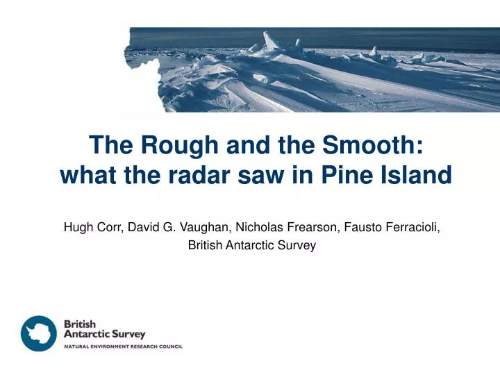
The Rough and the Smooth: what the radar saw in Pine Island. Hugh Corr, David G. Vaughan, Nicholas Frearson, Fausto Ferracioli, British Antarctic Survey. 34 Sorties from a USAP Supplied Field Camp (PNE) 32,000 line kilometers acquired Gravity, Magnetics and RES

E N D
The Rough and the Smooth: what the radar saw in Pine Island Hugh Corr, David G. Vaughan, Nicholas Frearson, Fausto Ferracioli, British Antarctic Survey
34 Sorties from a USAP Supplied Field Camp (PNE) 32,000 line kilometers acquired Gravity, Magnetics and RES Maximum Ice Thickness: 4200 m. Mean Ice Thickness: 2255 m Minimum Bed Elevation: - 3170 m
Radar Single or full quad polarisation capability. Centre Frequency 150 MHz, transmit Power 4 kW, transmit and receive aerial gain 11 dBi. Transmit pulses: 4 μS 10 MHz chirp interleaved with a 0.1 μS conventional pulse. PRF 15,625 Hz. Effective PRF (after hardware stacking) for each pulse 312.5 Hz. Dual gain receiver channels. Baseband sampling frequency 22 MHz. Magnetometer 2 x wing tip mounted Scintrex cesium cs-3 magnetometers Resolution 0.00 1 nT. 10 Hz sampling rate. GPS synchronisation Real time and post processed compensator with flux-gate magnetometer. Gravimeter Lacoste and Romberg S meter Upgraded by ZLS (2004) Ultrasys system 1 s sampling rate. 4 minute platform period 3.5 – 5 mGal accuracy for 5 – 9 km wavelengths GPS synchronisation GPS Leica SR530 and Ashtech Z12 Receivers. Dual rover and base station units.
Significant System Performance Improvement obtained from focused SAR processing Results of a collaboration between ESA and BAS – Thanks to Florence Heliere @ ESTEC
Observed ‘Lake-Like’ Echoes in Ellsworth Land • Specular Reflector with Uniform Amplitude • Ratio of surface slope to bed slope 1:10
Flow Direction Main trunk of PIG is underlain by a smooth bed. Radar echo comes from a sharp dielectric interface. Is it an ice/sediment or ice/rock interface? Reminiscent of Whillans Ice Stream (B)
Good Comparison Between BAS and UT Ice-Sounding Radars • Transect shows dramatic change in bed character • Internal Layering Patterns Associated with Streaming Flow • Entrainment of ice blocks • layer geometry, constructive interference • Variations in bed friction UT RES 60MHz 50 m/yr @ 65 kPa 300m/yr @30 kPa Flow Direction BAS RES 150MHz
Flight Tracks containing a Bright Internal Reflector 30 km Area = 150 x 250 km
Estimated Layer Age • Assumed • Accumulation Rate of 50 cm/yr • Constant Vertical Strain Rate H = 800 m h =400 m