Download
1 / 25
250 likes | 383 Views
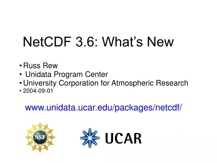
NetCDF 3.6: What’s New. Russ Rew Unidata Program Center University Corporation for Atmospheric Research 2004-09-01. www.unidata.ucar.edu/packages/netcdf/. Overview. A new format variant Backward compatibility Refactored documentation File size limitations eliminated

E N D
NetCDF 3.6: What’s New • Russ Rew • Unidata Program Center • University Corporation for Atmospheric Research • 2004-09-01 www.unidata.ucar.edu/packages/netcdf/
Overview • A new format variant • Backward compatibility • Refactored documentation • File size limitations eliminated • Better configuration support • Better Windows support
Larger netCDF files, 64-bit file offsets • Current “classic” format uses 32-bit offsets • New 64-bit offset format mode available on creation, for very large files: • nc_create(file, NC_64BIT_OFFSET, &ncid) • Initial development by Greg Sjaardema, Sandia Labs • We added: • Fortran, C++, ncgen, ncdump support • extensive additional error checking • 2GiB to 4GiB variable size increase • elimination of 4GiB record size limit
Backward Compatibility • Version 3.6 library reads classic format or new format transparently • By default, new files are created in classic format • New format should only be used for files too large for classic format • No code changes needed for existing code • Third-party software evventually needs to be upgraded to 3.6 to support new format
Refactored Documentation • User’s Guides for C, FORTRAN-77, FORTRAN-90 converted from FrameMaker to Texinfo • Language-neutral User’s Guide documents data model • Language-specific guides for C, Fortran-77, Fortran-90 • Will support better maintenance of documentation, easier addition of language-specific manuals
Better configuration support • Upgraded to use latest autoconf
Gridded Data • Examples: model outputs, reanalysis archives • Typically dependent variables located on multidimensional grid with coordinates, e.g. lat, lon, level, time dimensions: lat=18; lon=36; pres=15; time=UNLIMITED; variables: float xwind(time, pres, lat, lon); xwind:long_name = “zonal wind”; xwind:units = ”m/s”; float relHumidity(time, pres, lat, lon); relHumidity:units = “percent”; double lon(lon); lon:units = “degrees_E”; double lat(lat); lat:units = “degrees_N”; int pres(pres); pres:units = “millibars”; double time(time); time:units = “days since 1990-1-1 0:0:0”; xwind(n,k,j,i) is associated with lon(i), lat(j), pres(k), time(n)
Trajectory Data • Examples: observations from moving platforms, e.g. aircraft, soundings, ships • Typically locations and observations parameterized by time dimensions: time=UNLIMITED; variables: double time(time); // coordinate variable time:units = “seconds since 2004-01-01 0:0:0”; double lat(time); double lon(time); double height(time); float temperature(time); float pressure(time); float relHumidity(time);
Station Data • Examples: hourly surface observations from weather stations • Typically observational variables for each of a set of scattered locations at common times dimensions: station = 1000; time = UNLIMITED; variables: double time(time); time:units = “hours since 2004-01-01”; double lat(stationID); lat:units = “degrees_N”; double lon(stationID); lon:units = “degrees_E”; int elev(stationID); elev:units = “meters”; float temperature(time, stationID); temperature:units = ”celsius”; float pressure(time, stationID); pressure:units = “millibars”;
CDL notation and netCDF Utilities netCDF file CDL C program • CDL (Common Data Language) is an editable text version of binary netCDF schema and data • ncdump and ncgen utilities convert between binary and text versions of netCDF files • ncgen can also generate programs for creating netCDF files ncdump ncgen -b ncgen -c
Availability of netCDF • Freely available source, binaries: • www.unidata.ucar.edu/packages/netcdf • Unidata-supported interfaces: • C, C++, Fortran-77, Fortran-90, Java, Perl • Platforms: • Unix, Windows, Mac OS X, ... • License: • X Windows/MIT style open source license • Used in several commercial applications • Status: • version 3.5.1 released February 2004 • netCDF-4 under development
netCDF Language Interfaces • Conventions of each language supported by interfaces • C: core implementation • C++, Fortran-77, Fortran-90, Perl: call C library • Java: independent pure-Java implementation • Python, Ruby, IDL, Matlab, Ada: third-party layers over C library • Data is language-neutral
Example C netCDF calls • #include <netcdf.h> • Open a netCDF file for read-only access • err = nc_open(”mydata.nc”, NC_NOWRITE, &ncid); • Get the variable ID for “windspeed” • err = nc_inq_varid(ncid, “windspeed”, &varid); • Get nth variable’s name, type, shape, # of attributes • err = nc_inq_var(ncid, n, name, &typep, &ndimsp, dimids, &nattsp); • Read a slab of values • err = nc_get_vara_float(ncid, varid, start, count, valarray);
Access to Array Sections • Functions to access subarrays • single values • 1-D vector of values along any dimension • 2-D cross sections using any 2 dimensions • ... • n-dimensional hyperslabs • entire variable • One shared dimension may grow • appendable data • record-oriented access
Java Interface • Currently most advanced netCDF interface, used to test new ideas • Client access to data servers: • HTTPD • OPeNDAP/DODS • Advanced coordinate system support for general and georeferenced coordinates • Virtual datasets to aggregate, subset, redefine, using NcML (XML representation for netCDF)
NetCDF Format • Purpose: insulate users, applications, and data from machine architectures, format details, additions to data • Provides data that is • self-describing • portable • directly accessible • appendable • Still support original XDR-based format (1988) • 32-bit file offset limits file size • New format with 64-bit offsets for huge files
NetCDF File Format netCDF Header 1st non-record variable 2nd non-record variable ... nth non-record variable 1st record for 1st record variable 1st record for 2nd record variable ... 1st record for rth record variable 2nd record for 1st record variable 2nd record for 2nd record variable ... 2nd record for rth record variable Records grow in the UNLIMITED dimension • Header • Dimensions • Attributes • Variable metadata • Fixed-size variables • Record variables • Use UNLIMITED dimension • XDR-like represenations for all data and metadata
Some Current netCDF Limitations • Not a database system: no keyed access, transactions, multiple concurrent writers • Strings are just character arrays • No nested data structures • No “ragged arrays”, variable length records • Only one growable dimension per dataset • No built-in compression or packing • Georeferencing requires agreement on conventions • ...
NetCDF CF Conventions • Climate and Forecast metadata conventions • Metadata for use, not discovery • http://www.cgd.ucar.edu/cms/eaton/cf-metadata/CF-1.0.html • Adopted by: PCMDI, PRISM, ESMF, NCAR, Hadley Centre, GFDL, various EU projects • Developed by volunteers, active email list • Includes georeferencing conventions for multidimensional coordinate systems • Includes a “Standard Name Table” for quantities • Google for “CF standard name table” • 76 of 416 entries (as of June 3, 2004) relate to hydrology
Summary • NetCDF is a simple data model, different from Relational or GIS data models • NetCDF format and interfaces provide a portable way to store and access multidimensional array-oriented data • Conventions exist for georeferencing netCDF data • May be a bridge to link GIS and scientific users, applications, and data