Download
1 / 19
190 likes | 289 Views
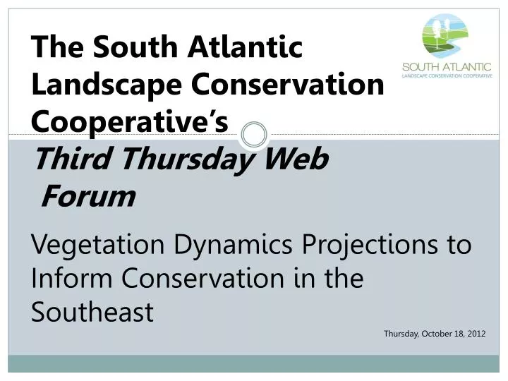
The South Atlantic Landscape Conservation Cooperative’s Third Thursday Web Forum. Vegetation Dynamics Projections to Inform Conservation in the Southeast Thursday, October 18, 2012. Third Thursday Web Forum Agenda. Introductions Updates

E N D
The South Atlantic Landscape Conservation Cooperative’s Third Thursday Web Forum Vegetation Dynamics Projections to Inform Conservation in the Southeast Thursday, October 18, 2012
Third Thursday Web Forum Agenda Introductions Updates Monthly Topic: Vegetation Dynamics Projections to Inform Conservation in the Southeast Questions & Discussion of Monthly Topic Questions & Discussion of SALCC Close
Introductions Amy Keister, GIS Coordinator Laurie Rounds, Gulf Coast Landscape Conservation Liaison Ginger Deason, Information Transfer Specialist/Forest Service Liaison Jen Costanza, Postdoctoral Associate, Biodiversity and Spatial Information Center (BASIC), NCSU
Updates Second Biological Objectives Workshop underway Draft indicators process web comments due today Interim video report – Sea Level Rise and Coastal Species – on web Socioeconomics Workshop development committee being formed www.southatlanticlcc.org
a tour of new spatial data products SALCCThird Thursday Web Forum
SALCC Introduction SALCCThird Thursday Web Forum In this three part webinar series we will explore newly available spatial products that predict future conditions • 6/21/12: Urban Growth • 8/16/12: Sea level rise • 10/18/12: Land cover a tour of new spatial data products
SALCC Introduction The SALCC is a forumin which the private, state and federal conservation community… develops a shared vision of landscape sustainability cooperates in its implementation; and collaborates in its refinement Mission: Create a shared blueprint for landscape conservation actions that sustain natural and cultural resources
SALCC Introduction What is the Blueprint? An interactive, living plan that describes the places and actions needed to meet the SALCC’s conservation priorities in the face of future change Conservation Priority = Measurable indicator of success
SALCC Introduction About the SALCC area • Portions of 6 States • 89 million acres • 92% private land • 18,700 miles of coastline* *calculated from the NOAA medium resolution digital vector shoreline
SALCC Introduction Why is the SALCC interested in these spatial data? To achieve our mission, we need to be able to understand and model the forces that drive change on the landscape The spatial data products we are highlighting cover the entire SALCC areaand as far as your staff knows, these are currently the best data available for our region Do you know of other comparable data that cover our entire region?
Vegetation dynamics projections to inform conservation in the Southeast Jennifer Costanza October 18, 2012
DSL Project Overview • Coordinated research project between • USGS Coop Units of NC and AL • Atlantic Coast Joint Venture • NCSU Biodiversity and Spatial Information Center • Aim: Predict landscape-level change effects on avian habitats in SE due to urban growth, succession, disturbance, climate change, and conservation programs • Included Vegetation dynamics, Sea level rise (SLAMM) and Urban growth (SLEUTH) modeling
SERAP Overview CLIM COASTAL Habitat Change in Coastal Areas CLIMATE MANAGEMENT ALTERNATIVES Land Acquisition Habitat Restoration Purchase Irrigated Cropland Riparian Improvement Improve Irrigation efficiency Propagation/Translocation CHANGE TERRESTRIAL CLIM Adaptation Strategies Urbanization Vegetation Dynamics Avian Occupancy Species-Habitats Relations AQUATIC CLIM Hydrologic Response Fish and Mussel Occupancy
Modeling approach Forcings Current Spatial Conditions • Climate effect on wildfire • Urban growth (SLEUTH) • Sea level rise (SLAMM) • Location of habitat types • Successional stage • Vegetation structure Spatially-explicit landscape projectionsVegetation succession and disturbance, sea level rise, urban growth: through 2100
Vegetation dynamics models • State-and-transition models for 150+ ecological systems and land cover types – VDDT / TELSA • Based on models developed by LANDFIRE • Include succession, disturbances and management P4 P5 P6 Clearcut pine forest P7 young pine forest middle- aged forest old forest P3 P2 States P1 Transitions Annual transition probabilities Add states, change transitions in response to changes Spatially-explicit based on landscape map
Longleaf pine ecosystem model Annual probabilities from recent wildfire records: Surface fire 0.02 Replacement fire 0.0006
Climate change effect on wildfire A1FI climate scenario wildfire probability multiplier 95% confidence interval
Incorporating SLEUTH and SLAMM SLAMM (sea level rise) SLEUTH (urban growth)