Building and Validating Bayesian Models for Identifying Mountain Goat Winter Range in BC
This study focuses on constructing and validating Bayesian models to identify winter ranges of mountain goats in north-central British Columbia. Utilizing correlative and mechanistic theories, the research aims to provide a portable model for effective wildlife management and prediction. The preliminary model achieved a coverage of 65% for relocations while employing GIS for spatial analysis. Testing indicated promising results, with an observed correct classification rate of 89%. The findings emphasize the importance of flexible Bayesian learning in operational wildlife management contexts.

Building and Validating Bayesian Models for Identifying Mountain Goat Winter Range in BC
E N D
Presentation Transcript
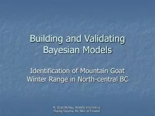
Building and Validating Bayesian Models Identification of Mountain Goat Winter Range in North-central BC R. Scott McNay, Wildlife Infometrics Randy Sulyma, BC Min. of Forests
Acknowledgements • Funding from the BC Min. of Environment • Other participants included: • R. Ellis • D. Fillier, S. Gordon, L. Vanderstar, D. Heard, G. Watts, D. Wilson, J. Vinnedge, B. Brade, R. MacDonald • Line Giguere, Robin McKinley • Concepts and ideas: • the last workshop in Chase • subsequent discussions, most notably, B. Marcot & S. Wilson, C. Apps
Theory Correlative Theory Mechanistic Frequency Probability Empirical Mechanistic Empirical Correlative Modeling Context Conceptual from Bunnell 1989 • Uses: • Prediction • Management • Implications of Predictions? • Explanation • Research • Why?
Rationale • General, portable model • Management & research • Prediction & explanation • Minimal resources to develop • Little information from FSJ • Insufficient resources to develop empirical or other more traditional approaches • Limited Time Frame
Study Areas • Adjacent MUs • Similar but not the same • Preliminary model already built
Simple UWR Model = Spatial relationships of cells processed/defined in a GIS. Typically a distance function from escape terrain.
= Spatial relationships of cells processed/defined in a GIS
Model Construction Results Primary indicators: • Accuracy • 100% relocations • Maximize coverage • Precision • 100% alpine • Maximize area decrease
Overall Results: • Basic model of EP • 65% relocations covered • 57% reduction in alpine • Spatially generalized model (nearest neighbor algorithm) • 92% relocations covered • 70% reduction in alpine
Model Testing • Random sample approach applied. • Aerial reconnaissance completed. • Data collected to evaluate/verify both input parameters, and summary results. • Given funding and timing constraints, not possible to evaluate some of the spatial relationships.
Model Testing Results Modeled Correct Classification Rate = 67% False Positive Error Rate = 73% False Negative Error Rate = 0% Κ = 0.50 τ = 0.32
Model Testing Results Observed Modeled Correct Classification Rate = 89% False Positive Error Rate = 46% False Negative Error Rate = 0% Κ = 0.64 τ = 0.79
Discussion • Were we able to restrict our search for UWR sufficiently yet remain accurate? • Was it important that we were not strictly analytical in our Bayesian learning? • Was our test protocol appropriate given the project goal?