Download
1 / 20
200 likes | 227 Views
Learn how to derive key biophysical properties from SPOT-VGT image data using angular reflectance analysis and BRDF model inversion, validated and upscaled for environmental research.

E N D
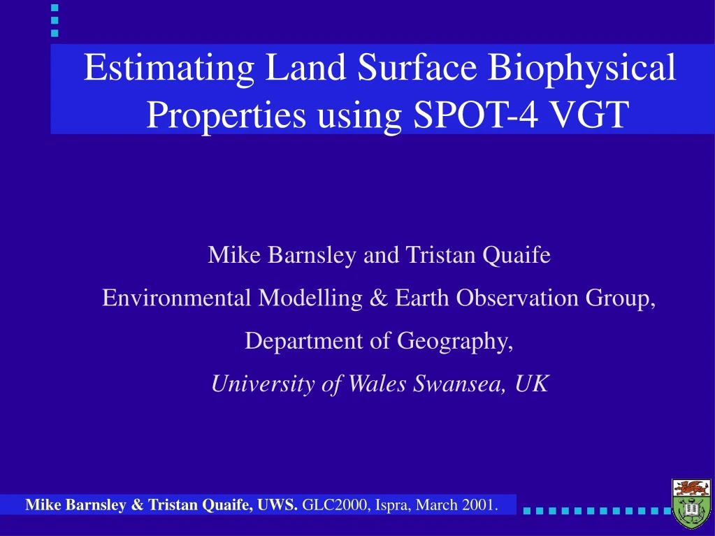
Estimating Land Surface Biophysical Properties using SPOT-4 VGT Mike Barnsley and Tristan Quaife Environmental Modelling & Earth Observation Group, Department of Geography, University of Wales Swansea, UK
Objectives • To derive estimates of key biophysical properties of the land surface in a robust and consistent manner from SPOT-VGT image data: • Albedo • Leaf Area Index (LAI) / Biomass • fAPAR • NPP • Land cover type
Methods • Analysis of variations in detected spectral reflectance as a function of sensor view angle and solar illumination angle. • Inversion of angular/directional reflectance signal against numerical models of radiation scattering (BRDF models) to yield estimates of surface biophysical properties • Validation through analysis of ground data, plant growth models and upscaling.
Angular Sampling from Multiple Orbits Day n Day n+2 Day n+1
Information Content of MVA Data Left: Nadir-view, multispectral composite (0.5mm, 0.65mm and 0.85mm) showing wheat (red), bare soil (blue) and oil seed rape (white). Right: Multi-angle composites (nadir + two oblique angles) at recorded 0.5mm, 0.65mm and 0.85mm, respectively.
MVA Analysis using SPOT-4 VGT:Northern Spain Multispectral FCC MVA FCC (NIR Channel)
MVA Analysis using SPOT-4 VGT: Les Landes Forest, France SWIR NIR
Modelling the BRDF • Find a mathematical model, preferably one based on the physics shortwave radiation transport and specified in terms of measurable biophysical properties, to describe the BRDF. • Invert the model to estimate values for the driving parameters.
BRDF Model Inversion: Constraints • Physically-based BRDF models are highly non-linear, requiring numerical (cf. analytical) inversion. • Numerical inversion routines are computationally intensive and sensitive to the initial estimates of the model parameters. • The models make assumptions about the nature of the surface properties (spatial homogeneity) that are typically not valid for coarse spatial resolution image data. • The number of reflectance samples is typically small and they are sub-optimally distributed throughout the viewing and illumination hemispheres.
Angular Sampling Spain UK
BRDF Model Inversion: Solutions? • Potential solutions include: • Simplify and linearize the BRDF models so that analytical solutions can be found to the inversion problem (so-called 'linear, semi-empirical, kernel-driven models'); • Use alternative numerical inversion strategies, e.g. simulated annealing, to avoid converging on local minima in the merit function; • Use 'black box' methods, e.g., artificial neural networks; • Use pre-defined Look-Up Tables (LUTs) and interpolation.
Semi-Empirical BRDF Models rl(qi, fi; qr, fr) = fiso + fgeokgeo + fvolkvol Isotropic Geometric Volumetric Kernels, k, are functions of viewing and illumination geometry. Weights, f, are functions of biophysical properties.
Data Processing Collate 478 images acquired between 17th May-1st Oct 1999; Convert DN to TOA radiance; Mask areas of cloud and cloud-shadow; Convert from TOA radiances to surface reflectance (SMAC v.3.2); Assemble directional spectral reflectance image and ancillary data stacks; Invert data (typically 100s Gb) against BRDF model.
16/30-Day Moving-Window Inversion 16/30 day window
BRDF Inversions False-colour composite generated from isotropic, volumetric and geometric kernel weights images (NIR channel) displayed, respectively, through the red, green and blue colour guns. Simple analytical solution to yield spectral and broadband albedo.
Data Validation and Scaling-Up • Currently comparing outputs from BRDF models with field measurements of biophysical properties. • Upscaled using land cover classifications derived from intermediate spatial resolution satellite sensor images (Landsat ETM+). • Temporal extrapolation using plant growth models (SUCROS2, AFRCWheat, etc.) and standard meteorological observations. • Examining spatial and temporal correlations between model outputs and upscaled ground data.
Conclusions • Demonstrated general utility of the multi-angle approach in general, and the inversion of BRDF models in particular: • Directional reflectance variations provide an alternative means of distinguishing surface cover types (e.g., through MVA analysis); • Considerable potential to estimate land surface biophysical properties (e.g., albedo, LAI and fAPAR) through BRDF model inversion; and • Image data from SPOT-VGT are well suited to BRDF studies due to their excellent radiometric calibration and geometric registration.